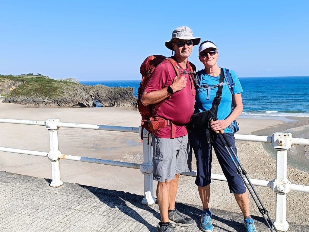
August 31 2024
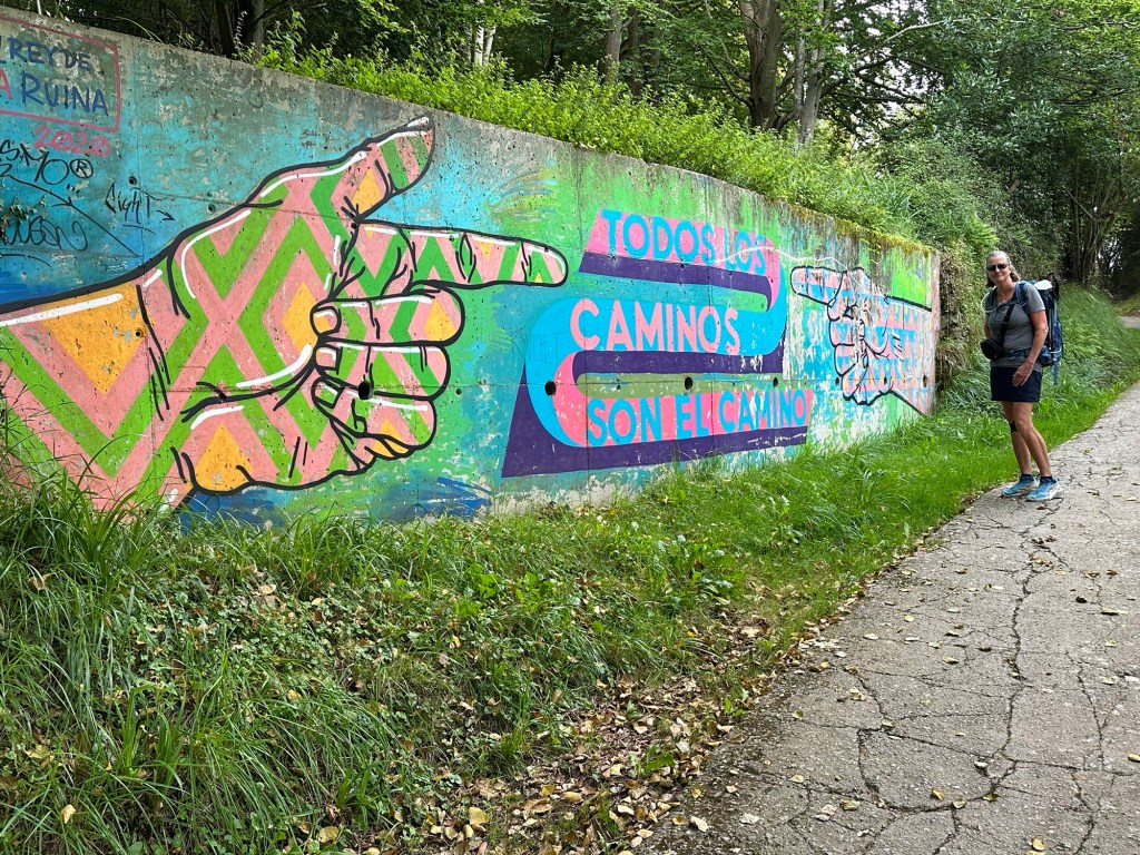
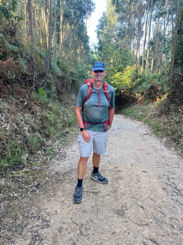
Here we go again! This time we’re walking the Camino del Norte. It’s about 565 miles because we’re going a bit extra after we get to Santiago de Compostela.
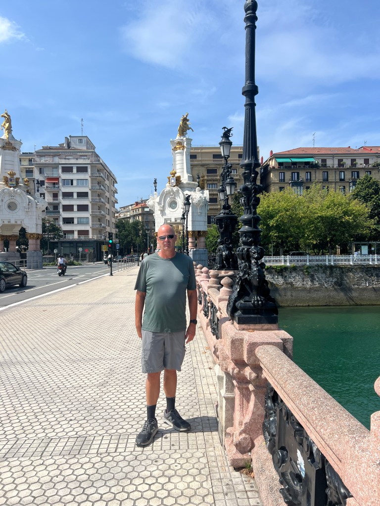
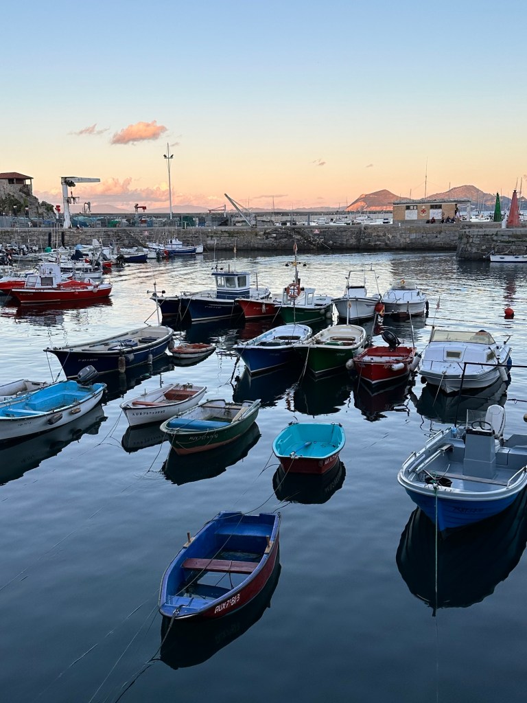
We’re spending the night in San Sebastián, and taking a train to Irun tomorrow to start. We’ll walk back to San Sebastián and continue from there.
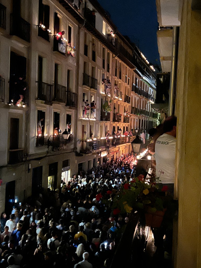
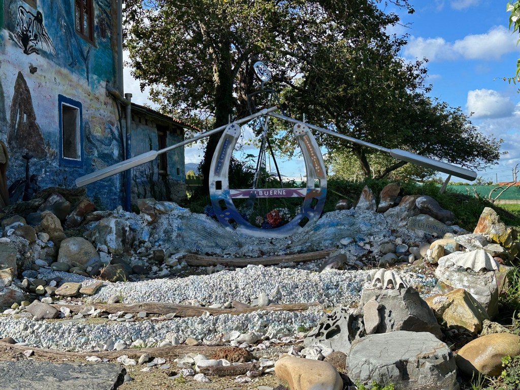
We’re staying in a small hotel on August 31st street. Apparently there’s a pretty big celebration. Lots of activities, and many, many people everywhere! In 1813 during a war, the town burned down, and only this street survived.
Here are some pictures for the day and festivities.


September 1, 2024
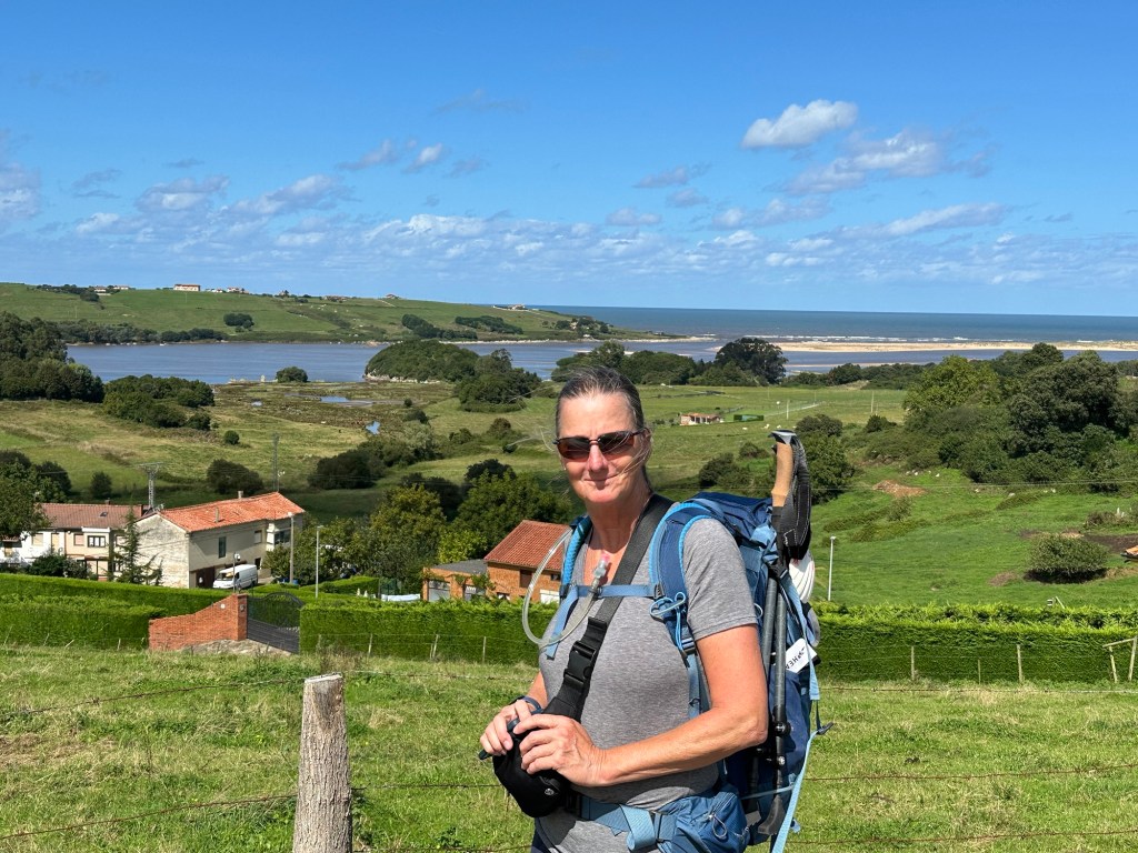
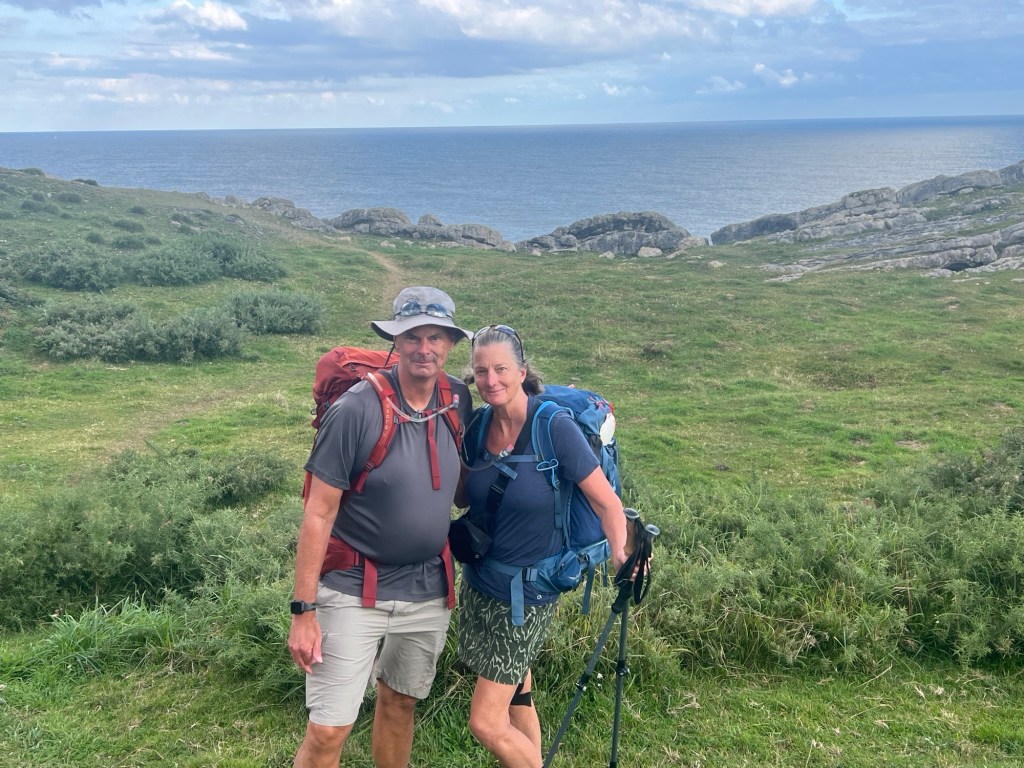
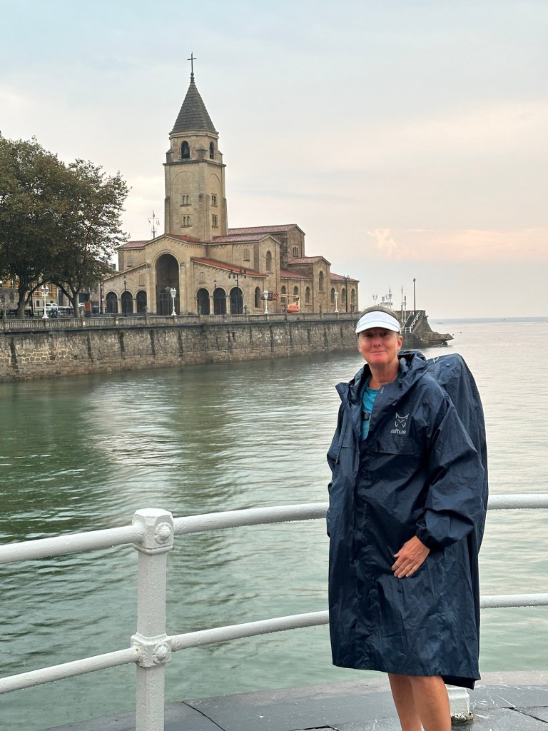
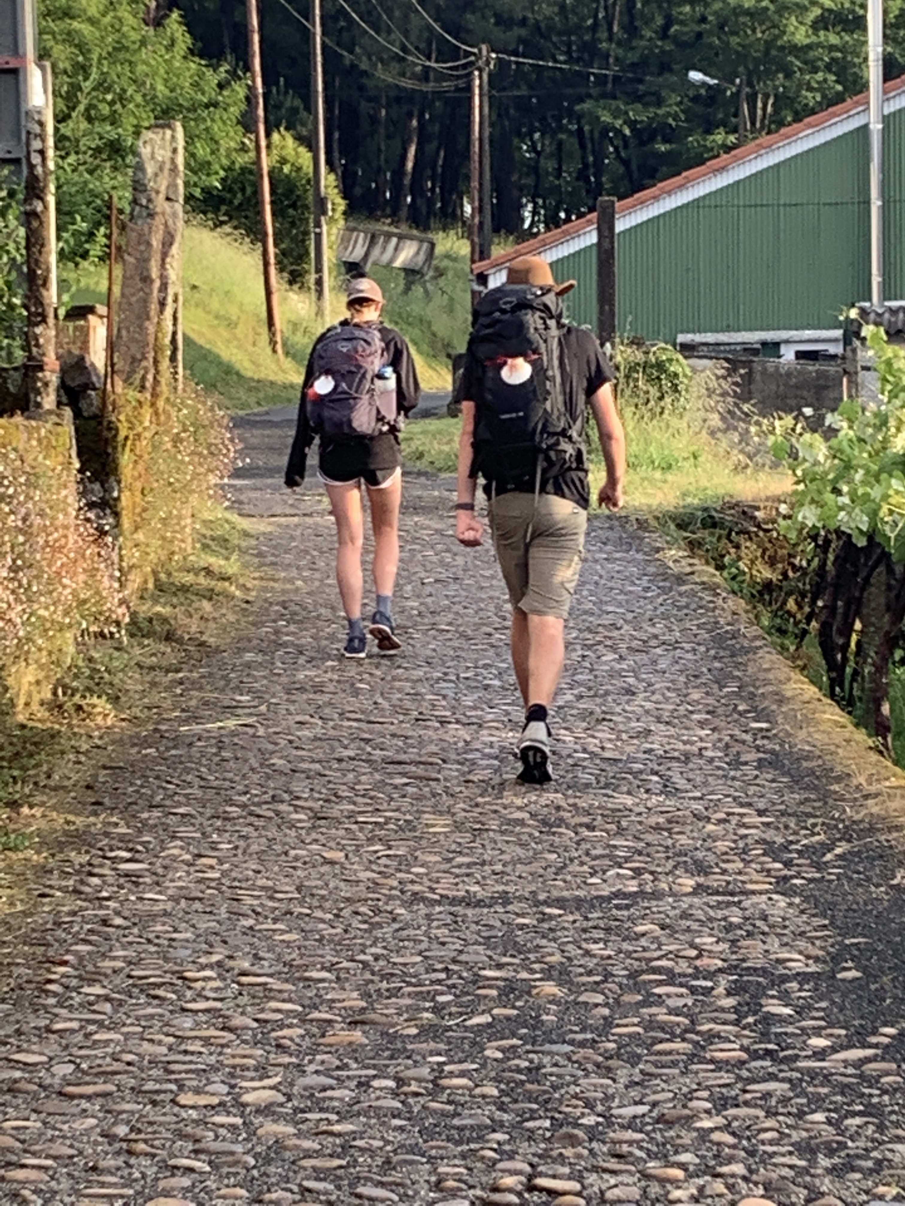
Irún to San Sebastián – Almost 19 miles, 2875 ft in elevation.
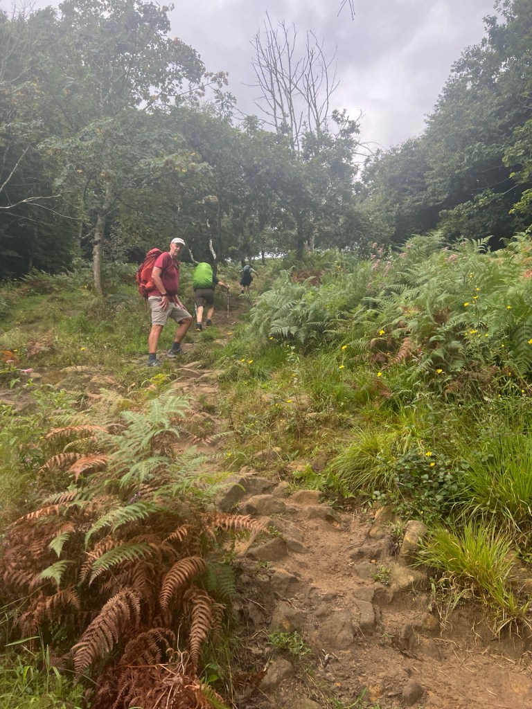
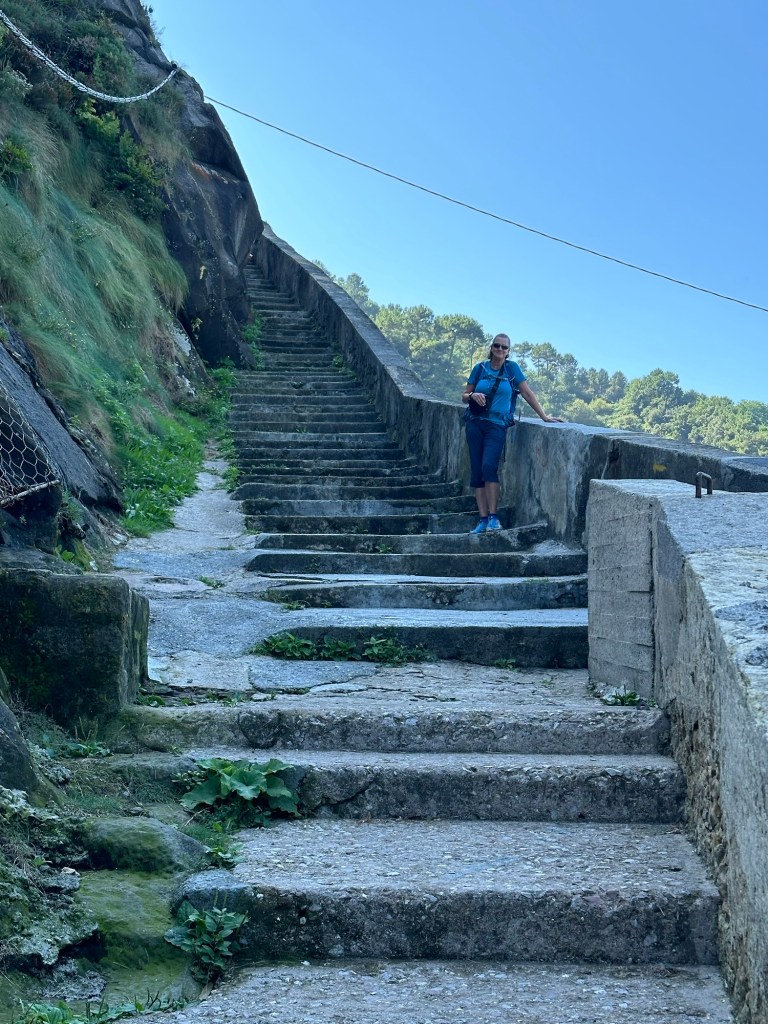
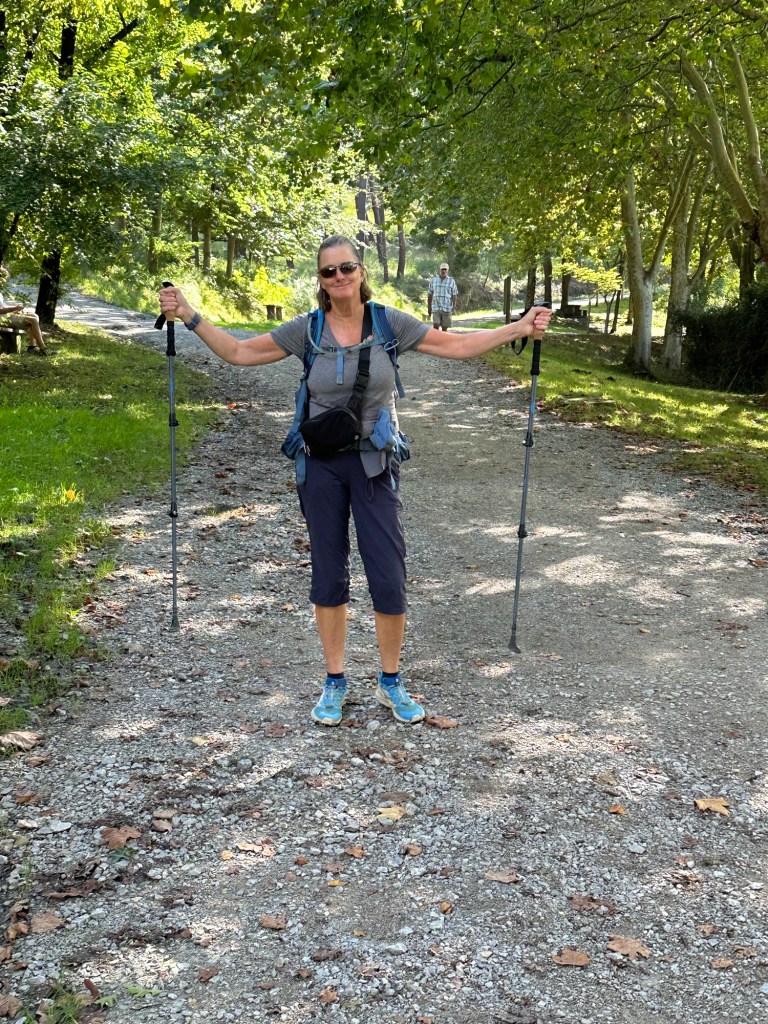
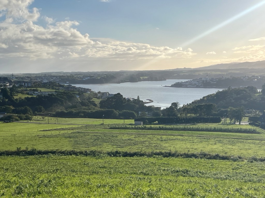
It turned out to be a pretty noisy night, people were out celebrating very late. We took a morning train to Irún, and started our walk. Almost right away, we hit the hill that takes you up to the sanctuary of Guadalupe. From there, there are different routes. We took the hilliest one. It was a hard and very steep hill, but the views from the top were amazing. It was also a very steep downhill to the town of Paisajes de San Juan, where we had a great lunch after walking for 6 hours. A short ferry ride took us across the river. We continued up lots of stairs and more hill. Finally back down to San Sebastián.


September 2, 2024
San Sebastián to Zarauz – 15 miles, 1870 ft elevation
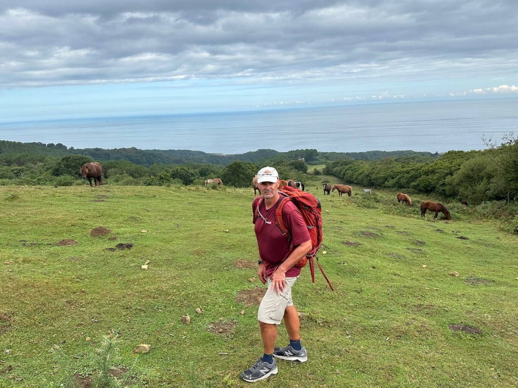
We left San Sebastián, starting along the famous beach of La Concha. Soon after, we started going uphill. There are nice views at the top. We spent a lot of time walking in the woods and by some farms. After more uphill and downhill, had a nice lunch in Orio. We had one more uphill, and down to Zarauz. We saw many more pilgrims today.


September 3, 2024
Zarauz to Deba – 14.3 miles, 2635 ft. elevation

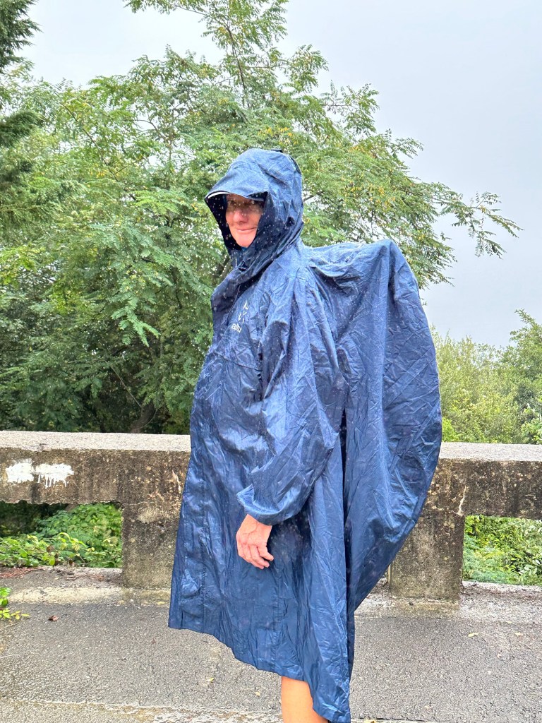
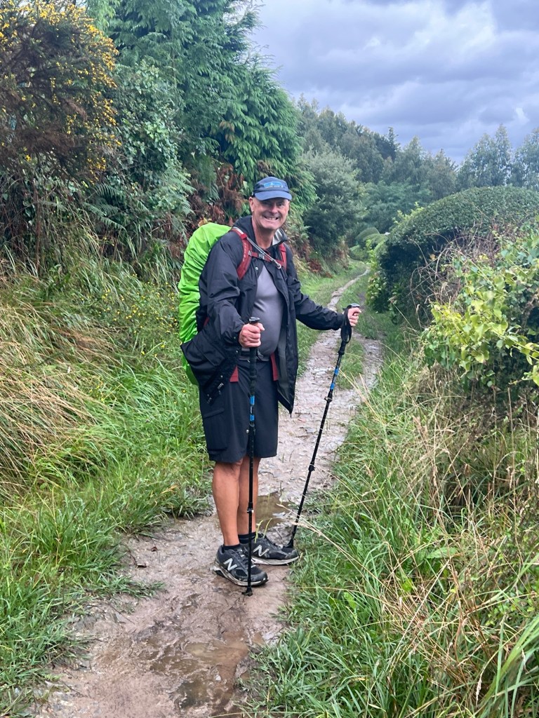
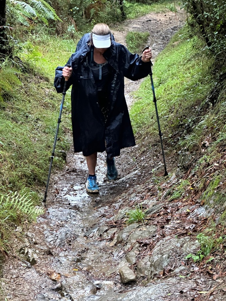
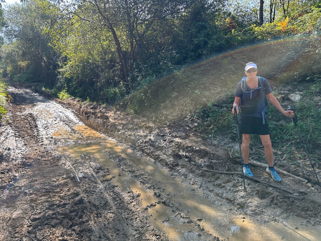
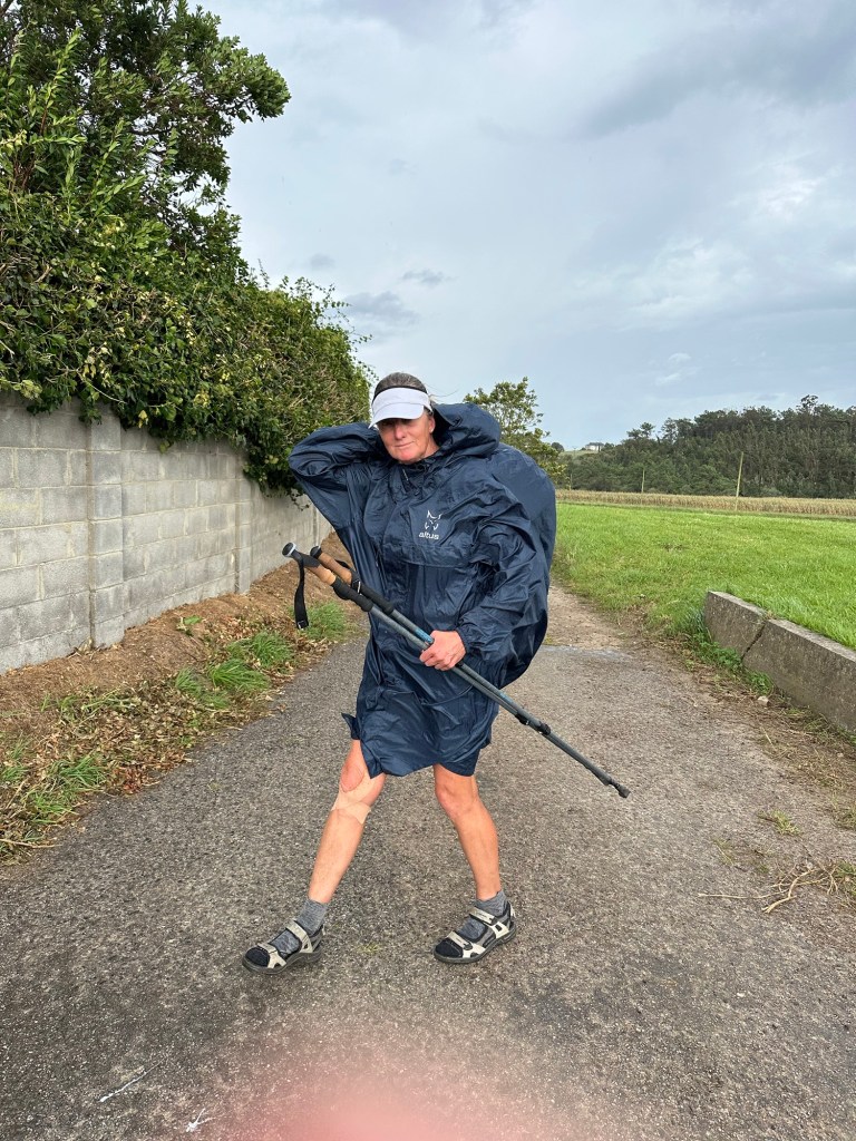
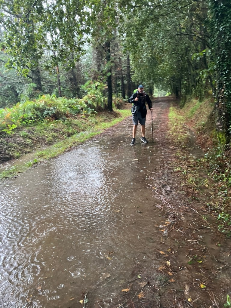
Left Zarauz early, it started drizzling as soon as we left. It turned into steady rain for the next few hours, until we got a break in the afternoon. Very hilly day again, steep and very wet and muddy in some places. Sean had a couple falls, luckily he’s ok! 😂


We had some nice farm land and vineyards, but also some roads where cars are flying by! A bit scary!
When we got to Deba, we were surprised, as our Pension where we are staying has a 3 bedroom apartment with ocean views, and that’s the room they gave us! We will enjoy the luxury!


September 4, 2024
Deba to Markina-Xemein – 19 miles, 3240 ft elevation
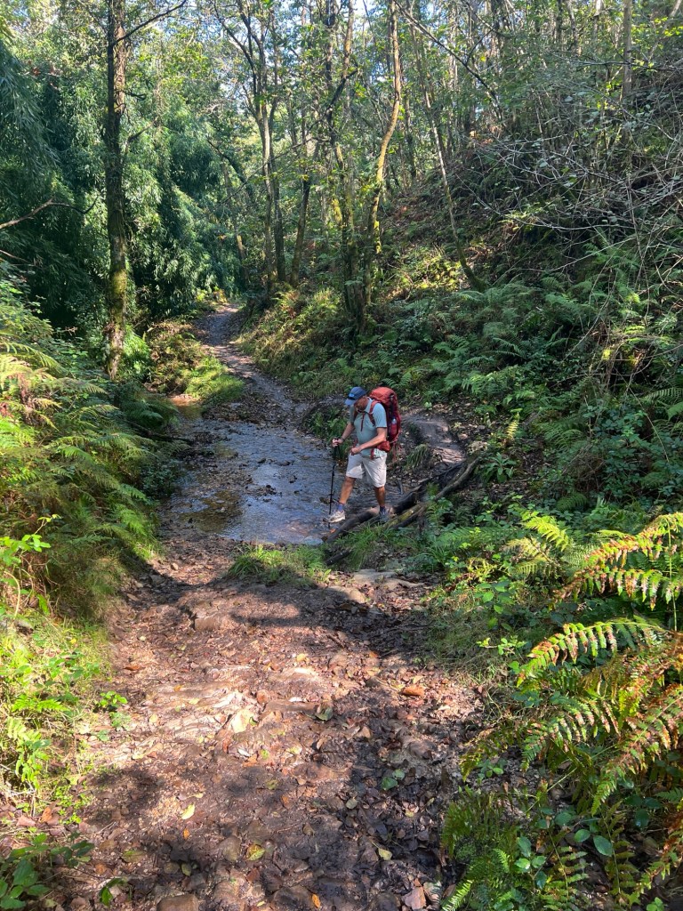
Theme of the day: hills, mud and rain!! Started the day with a hill, and pretty hard rain. It slowed a bit, but we had rain on and off the rest of the day. The dirt trails were pure mud, our shoes were covered in it, and also pretty wet.
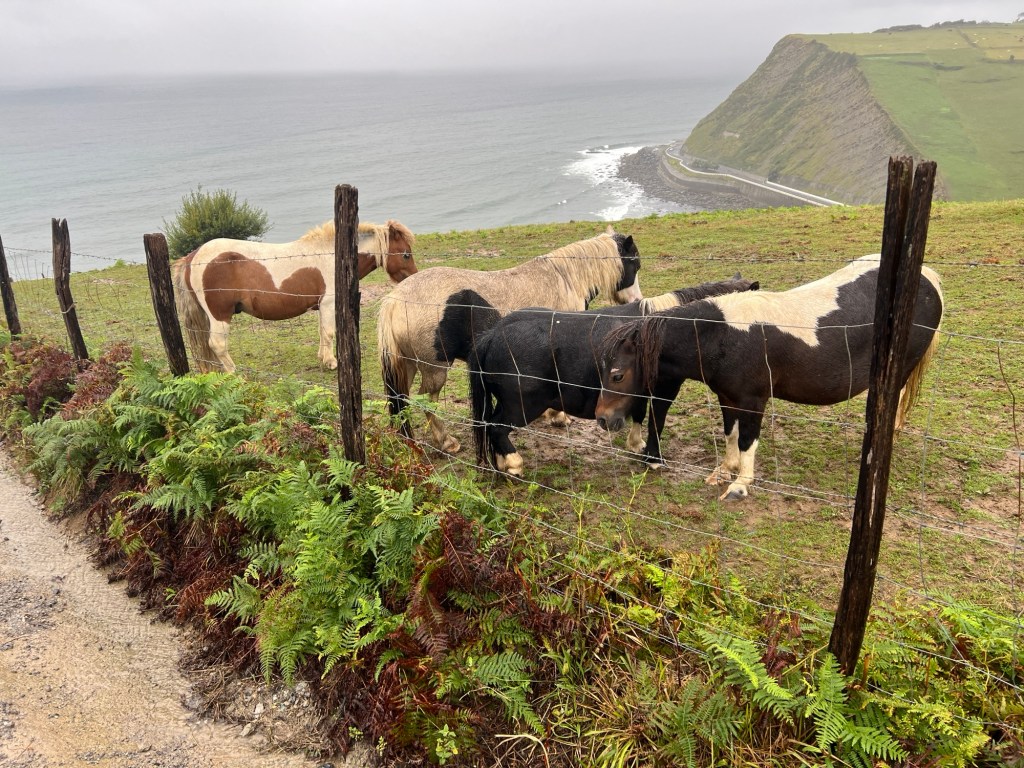
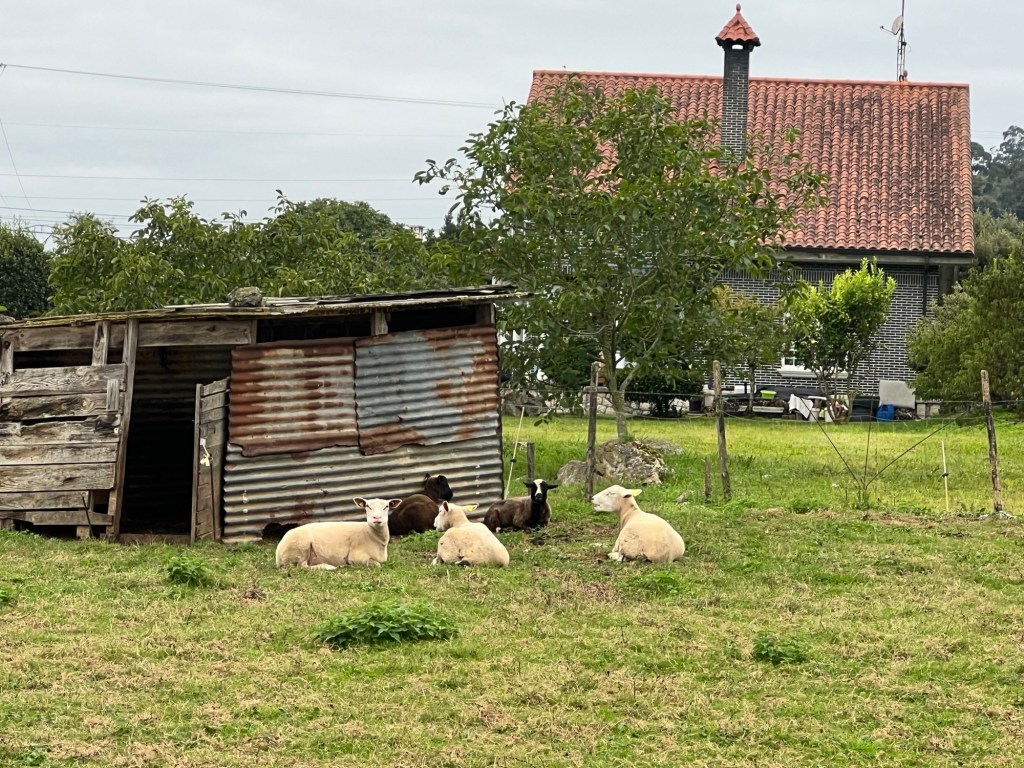
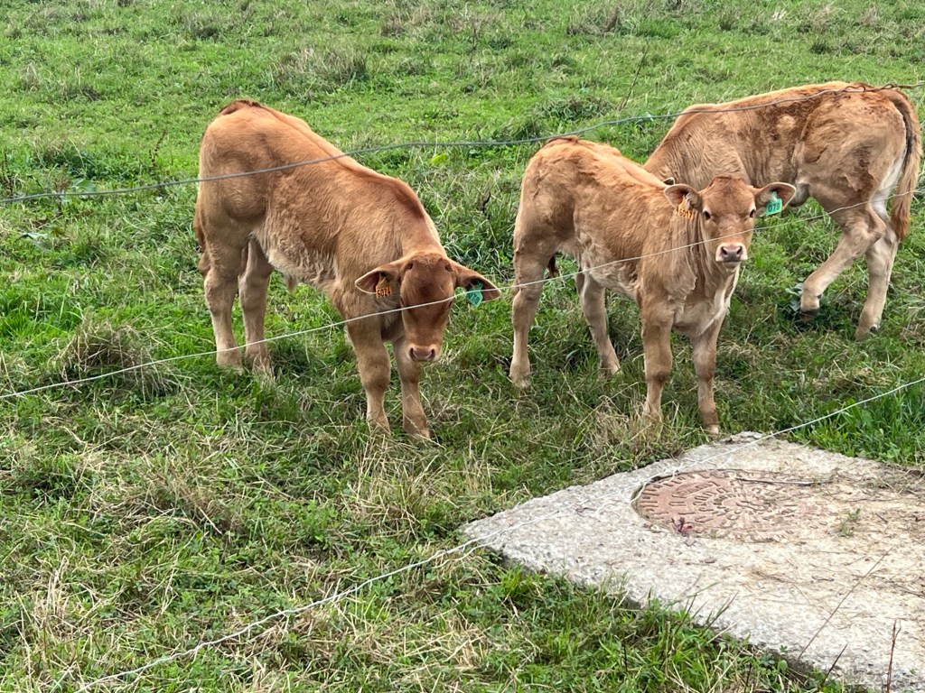
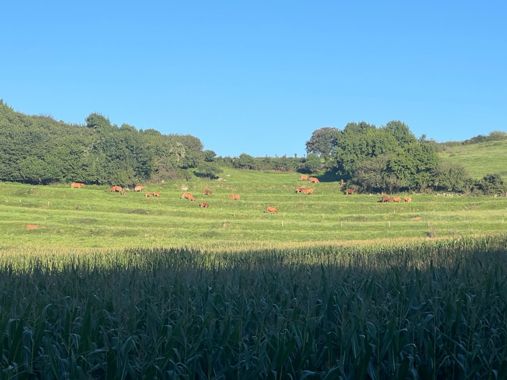
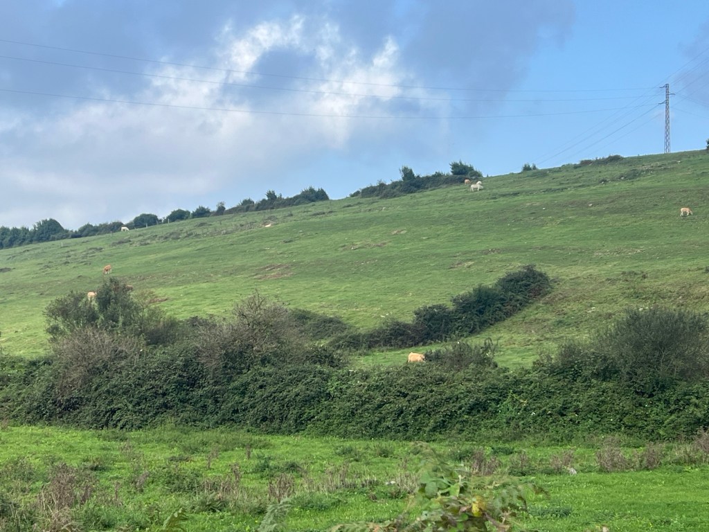
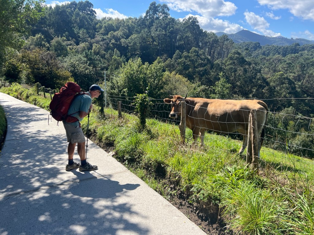
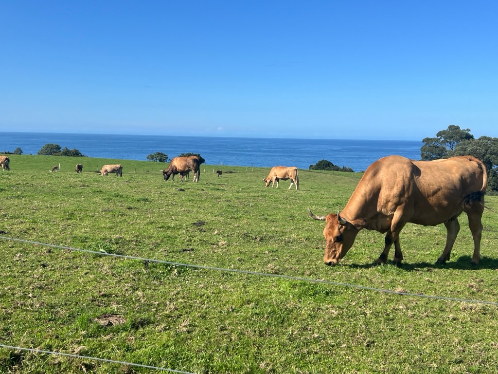
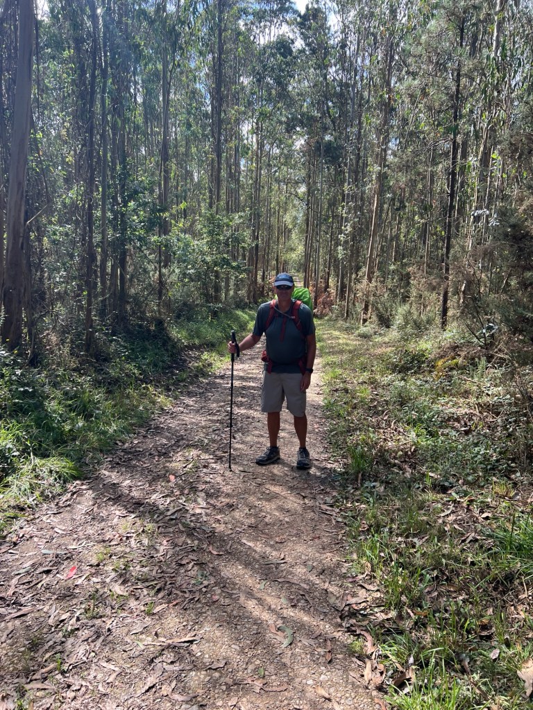
Scenery was pretty nice, with some ocean views at first, and farms and forest later. Very green hills. Cows, sheep, and horses kept us company. Also quite a few pilgrims. We’re staying at a rural house tonight, a couple miles out of town, but it will make tomorrow’s walk a bit shorter!


Septembre 5, 2024
Markina-Xemein to Gernika – 14.8 miles, 2410 ft elevation
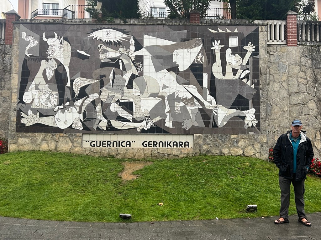
Last night we stayed at a rural house with some other pilgrims. We had a nice, fun dinner. In the morning it was cloudy and we did get some rain on and off during the day. Lots of hills and mud. The dirt trails are getting worse because of all the rain. Walked through more farms and forests. We arrived in Gernika, famous town because it was destroyed during the Spanish Civil War. Picasso produced his famous painting Guernica based on that war. There’s a mural of the painting in the town.


September 6, 2024
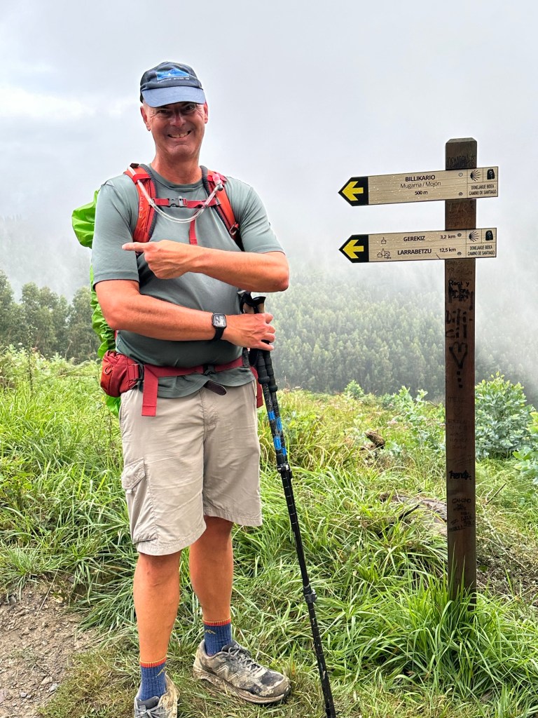
Gernika to Larrabetzu – 12.5 miles, 2200 ft elevation
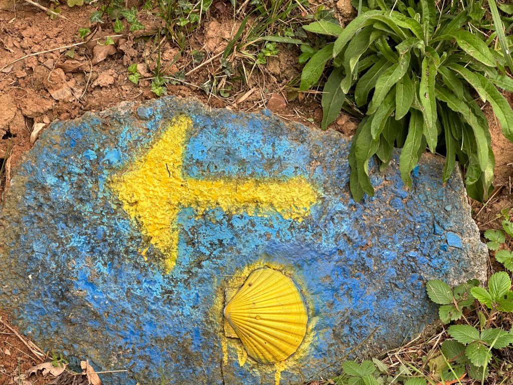
Shortly after leaving Gernika we had a pretty good hill. Again, so much mud!!! It makes it much harder to walk when we’re working so hard on staying vertical and the mud is so slippery! Grateful for poles! We’ve seen some pilgrims without them, and it’s so much harder!
No rain today, which was great!
We’re staying at another rural house today. Finally have working wifi after two days without.


September 7, 2024
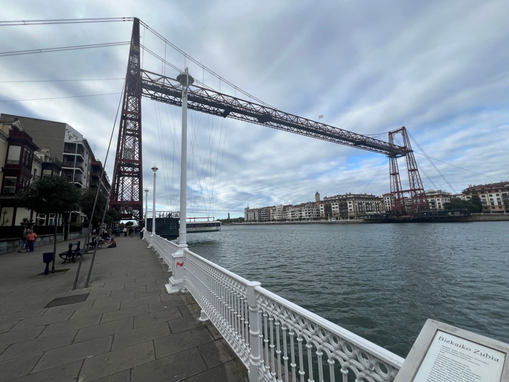
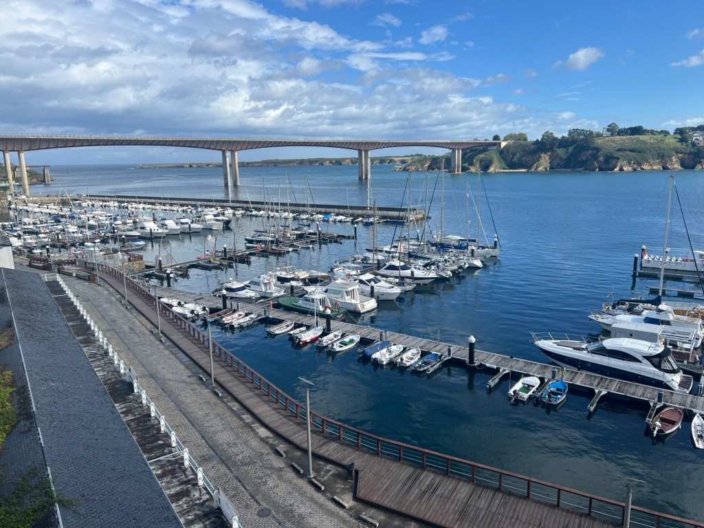
Larrabetzu to Portugalete – 19 miles, 1250 ft elevation
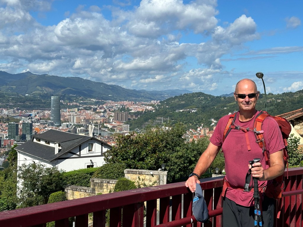
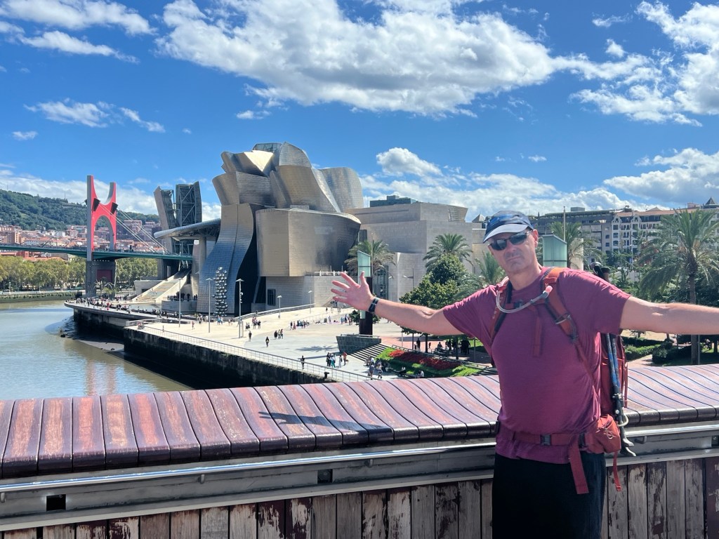
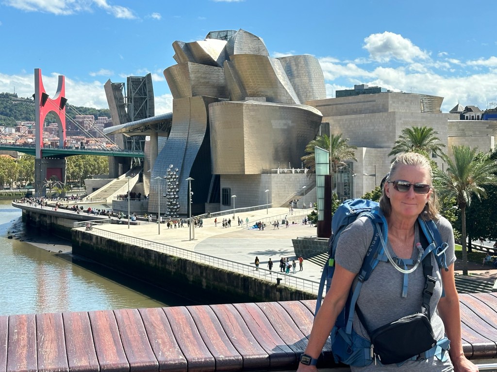
No rain today! A bit hilly, but much better than the last few days. Walked through Bilbao. It’s a pretty big city, and it took us a few miles to walk through it. Some great bridges along the river, and the Guggenheim museum! A few more miles to Portugalete, which has a hanging bridge, pretty interesting concept. We rode the hanging bridge and also walked along the top. Pretty cool!


September 8, 2024
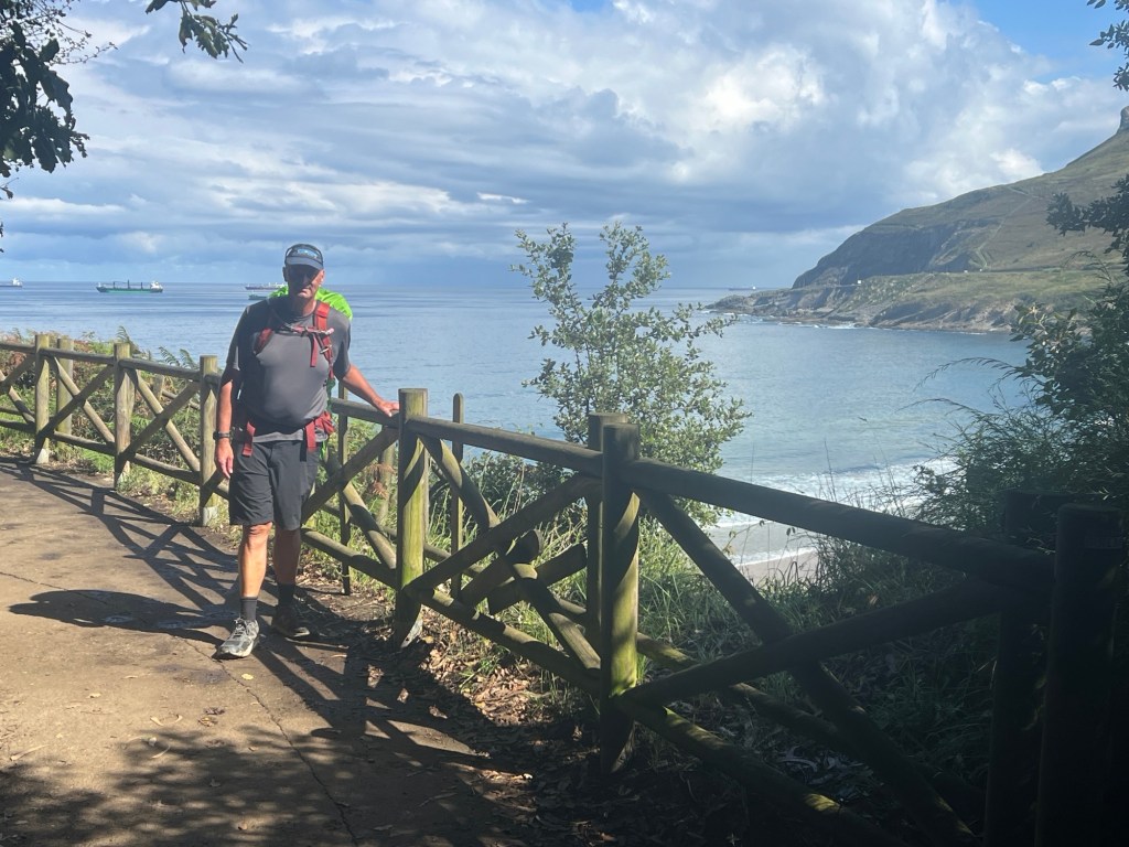
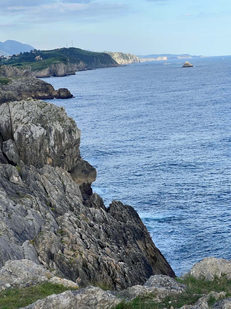
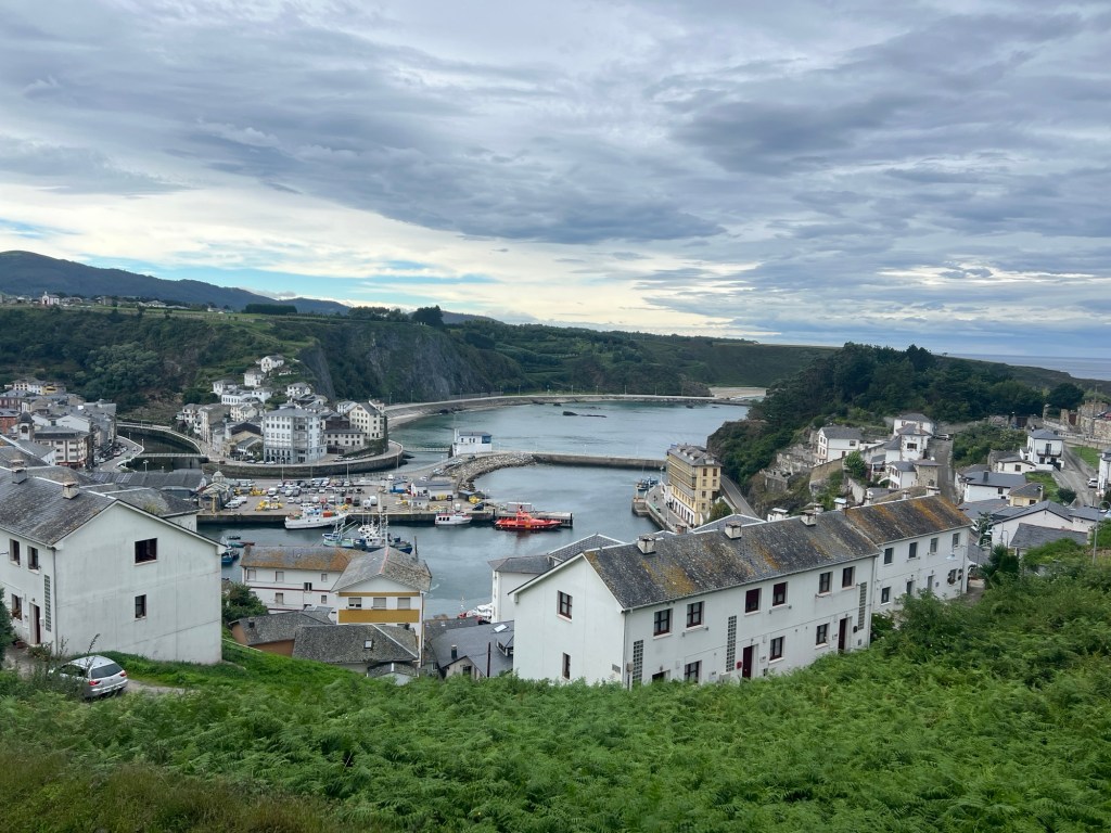
Portugalete to Castro – Urdiales – 17.4 miles, 1430 ft elevation
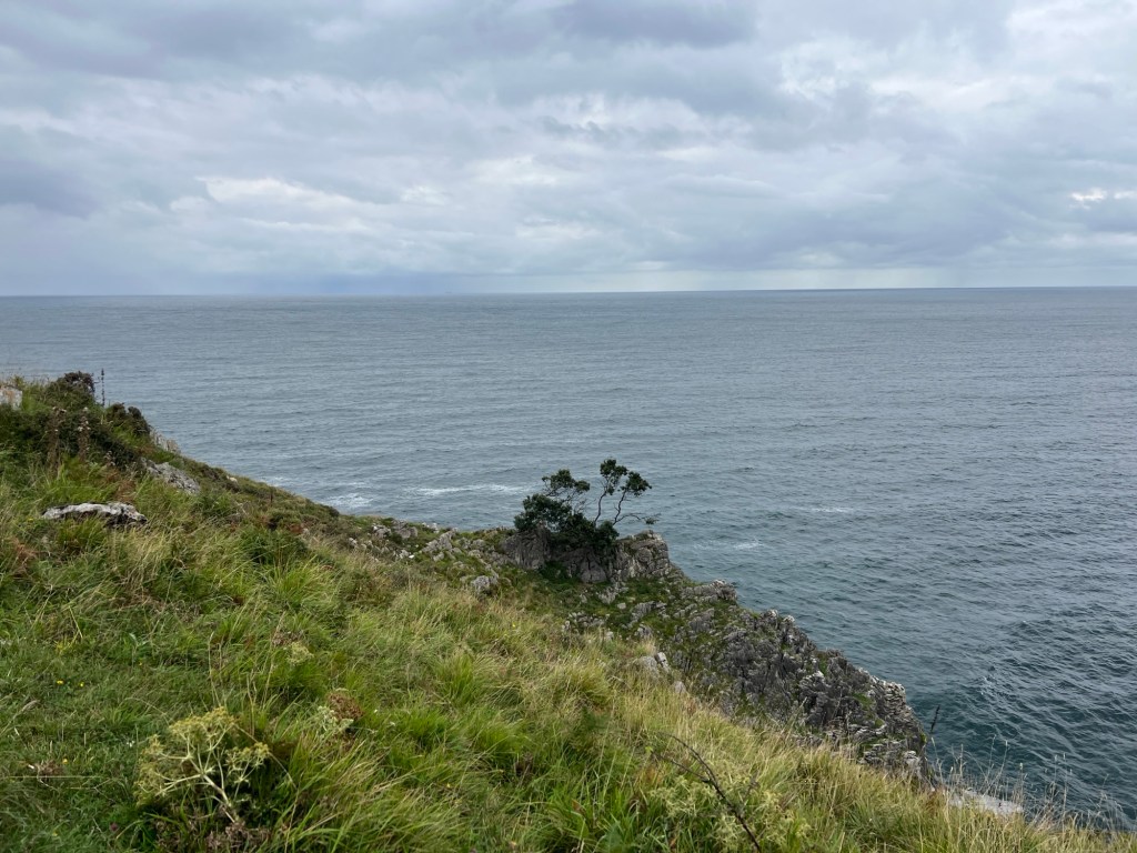
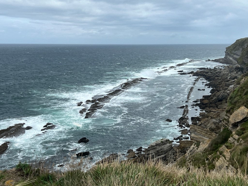
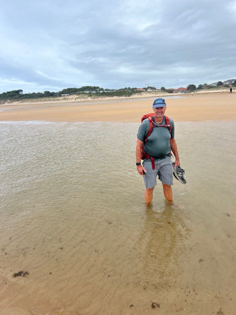
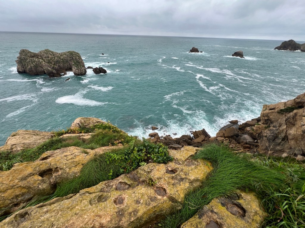
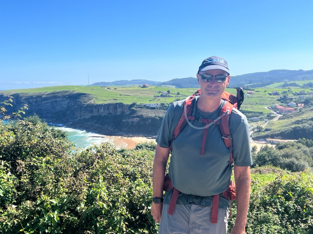
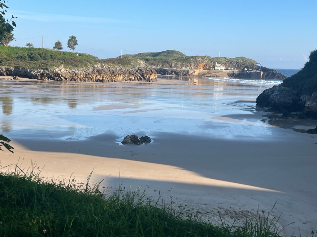
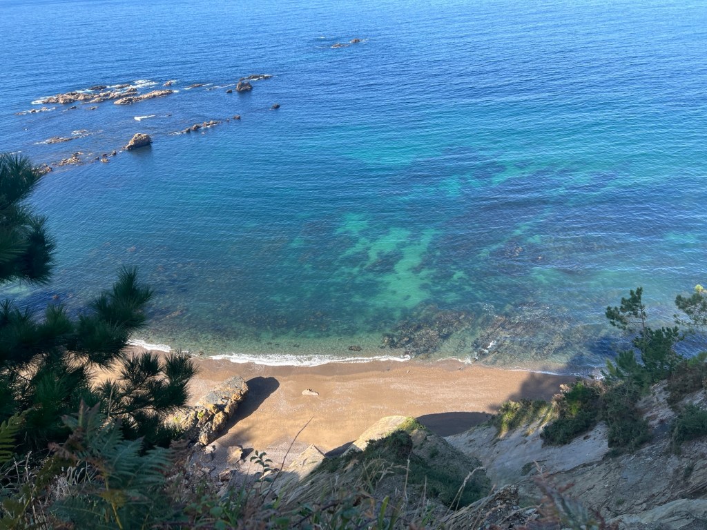
We had a rainy start to the morning leaving Portugalete. There were a few hills, but not bad at all after the last few days. Stopped for coffee and a snack in La Arena, a small beach town. After the town we had some stairs, and a nice walk along the water with beautiful views. We also walked along a highway, not a great place to walk! Cars and motorcycles just zoomed by! Finally made it to Castro-Urdiales, a nice coastal town. Had a great lunch, and soaked our tired legs in the ocean. Along the way today, we left the Basque Country and are now in the Cantabria region.


September 9, 2024
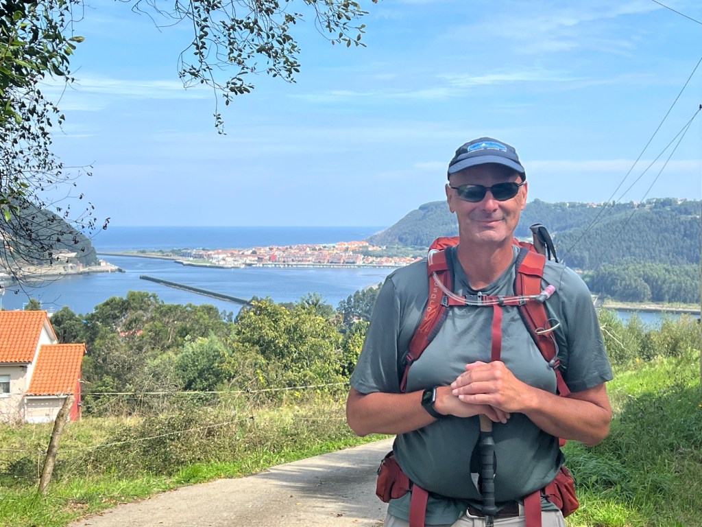
Castro-Urdiales to Laredo – 20.6 miles, 2315 ft elevation
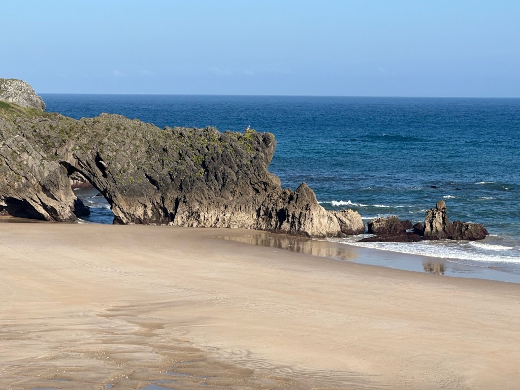
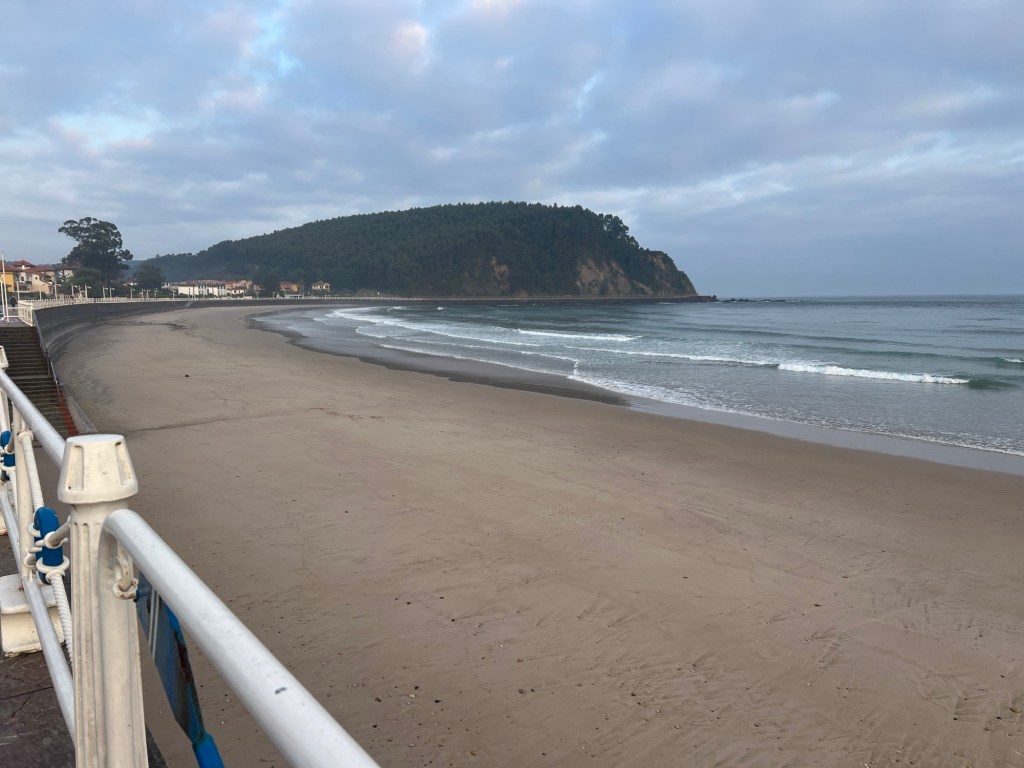
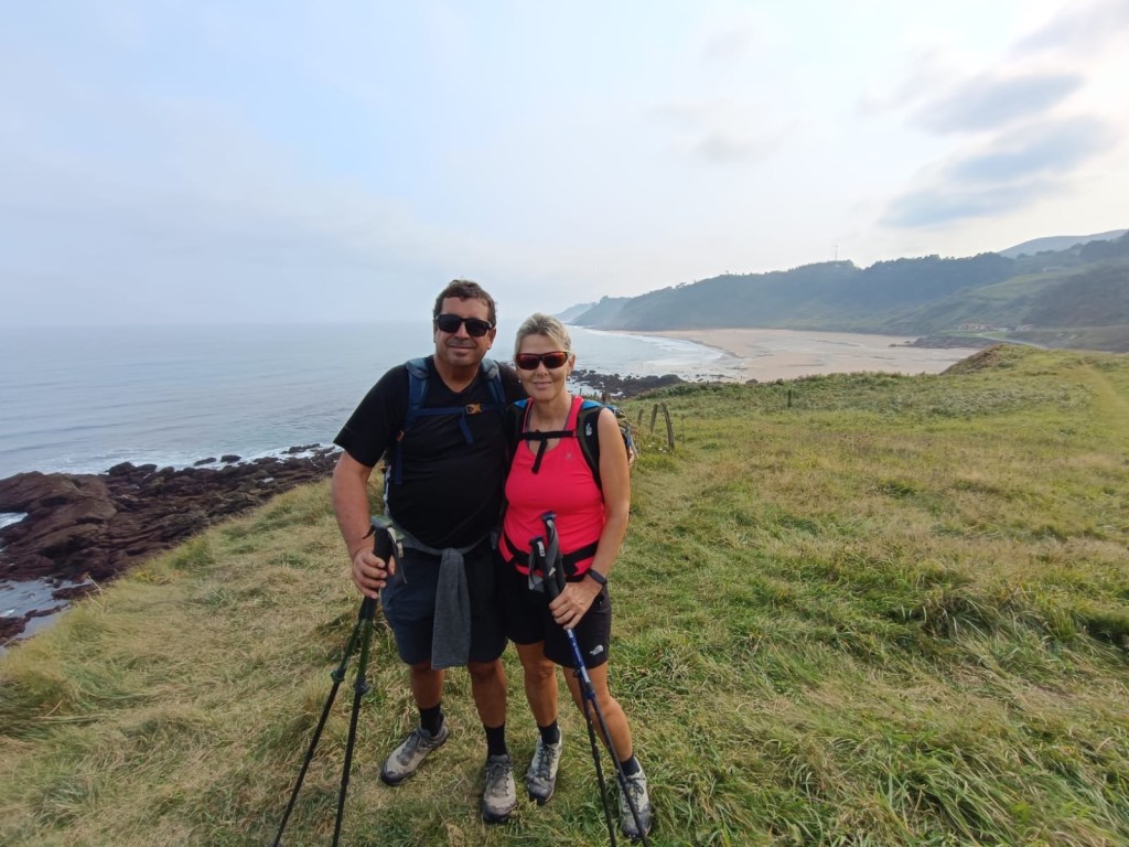
Left Castro-Urdiales under overcast skies, and had rain on and off through the day. It turned out to be a harder than expected day, our longest so far. We thought we were done with hills for a while, but the official Camino had a couple steep ones. Arriving to Laredo rewarded us with amazing views from the top of the mountain. A long and very wide beach was the destination for the day.


September 10, 2024
Laredo to Noja – 10.5 miles, 200 feet elevation
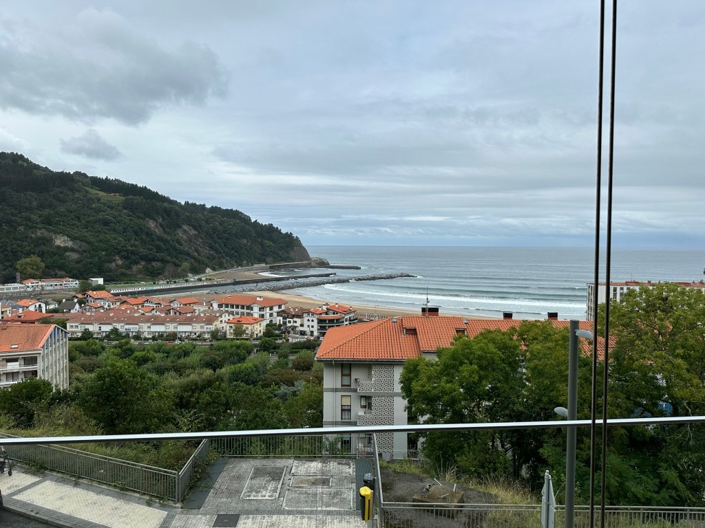
What a difference a day makes! Today was our shortest day so far, and probably in all our Camino. Also the flattest! We left Laredo and took a small ferry to Santoña, only a few minutes away. The official Camino goes along the coast, but the app we’re using and other people recommended taking an alternate route, so that’s what we did. The town of Noja has a pretty cool beach, where we enjoyed a nice paella.


September 11, 2024
Noja to Santander – 19.8 miles, 1,690 ft elevation
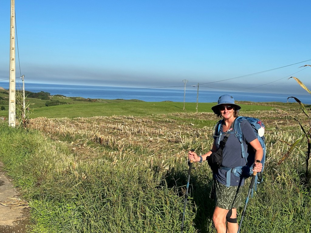
We left Noja and walked through some farmland, and mostly quiet roads. Stopped for coffee in Galiziano after a few hours of walking. The rest of the day was just spectacular! From Galiziano to Somo we had amazing ocean views, and even a long walk on the beach! A short ferry took us from Somo to Santander. We were lucky to find the cathedral open for a quick visit.


September 12, 2024
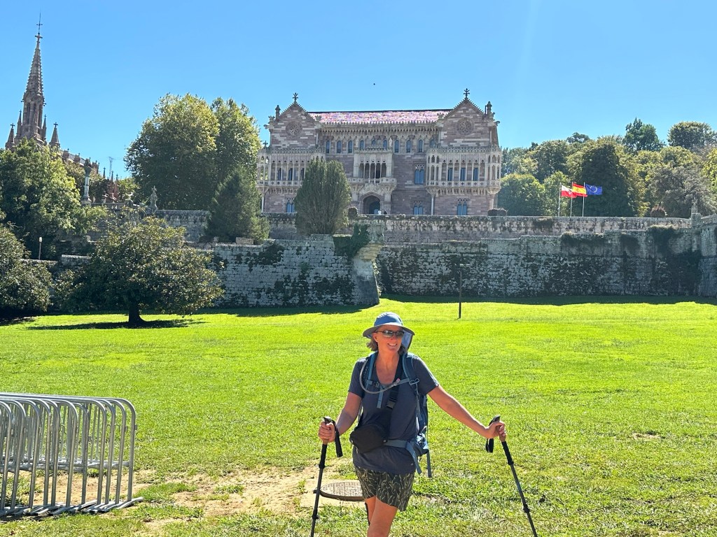
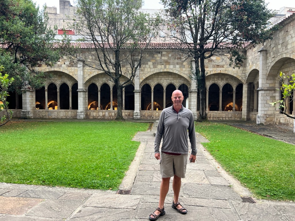
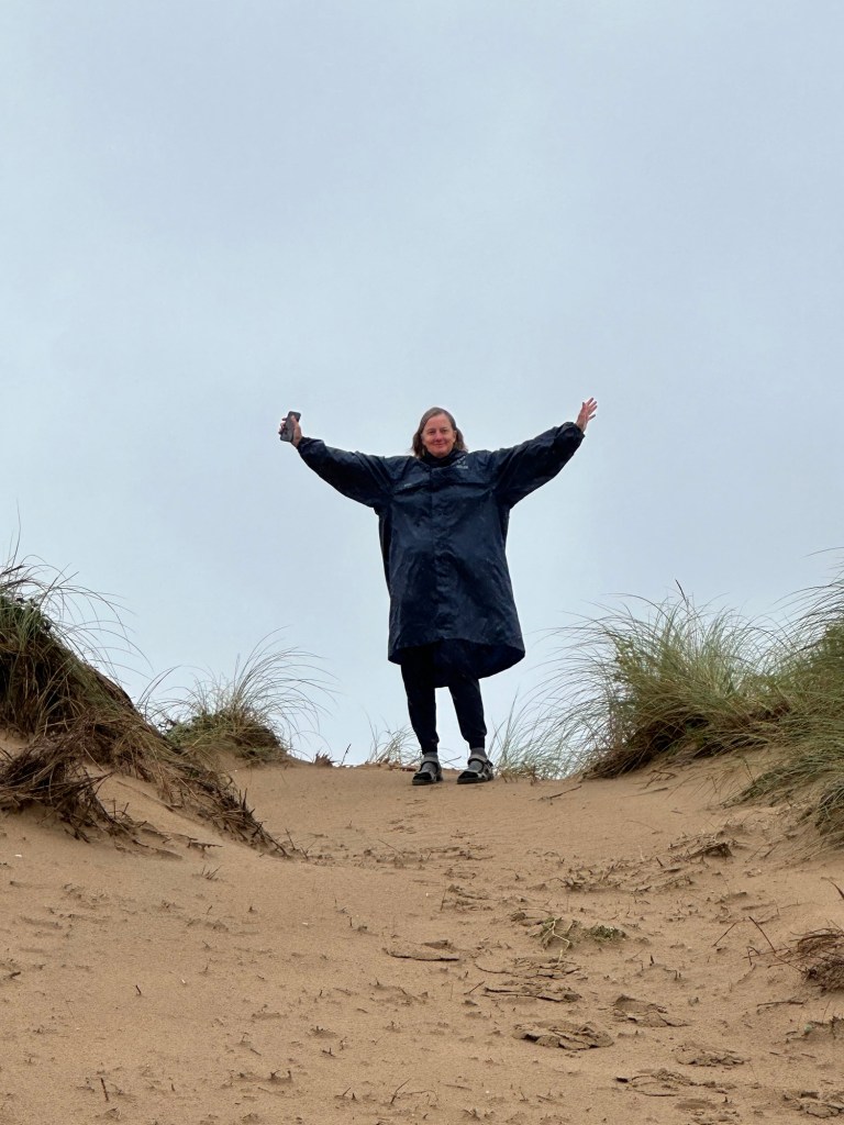
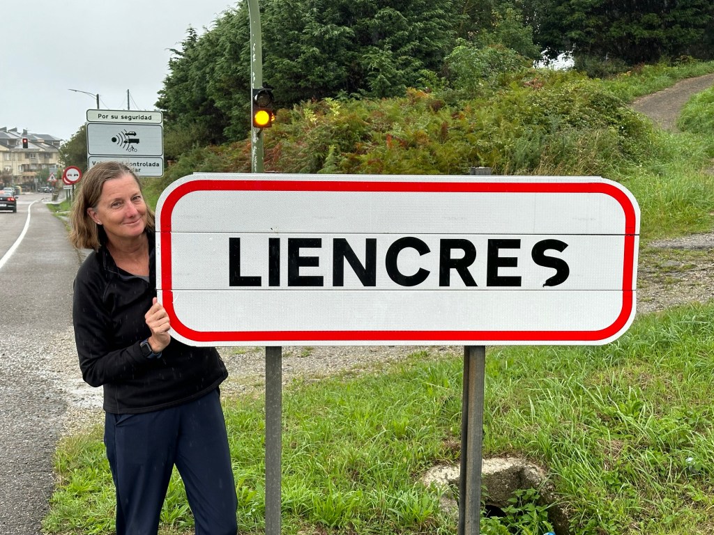
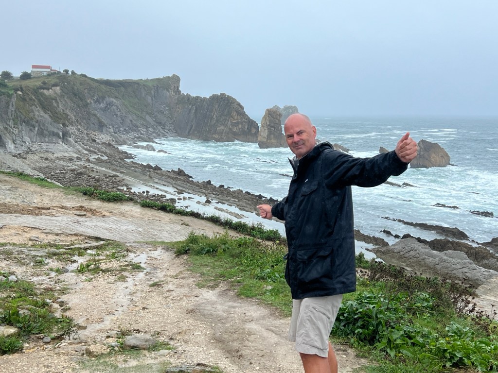
Santander – Rest day!
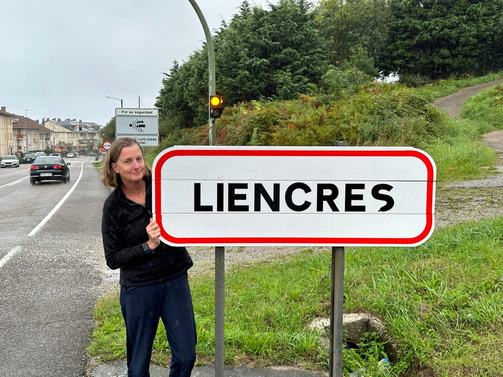
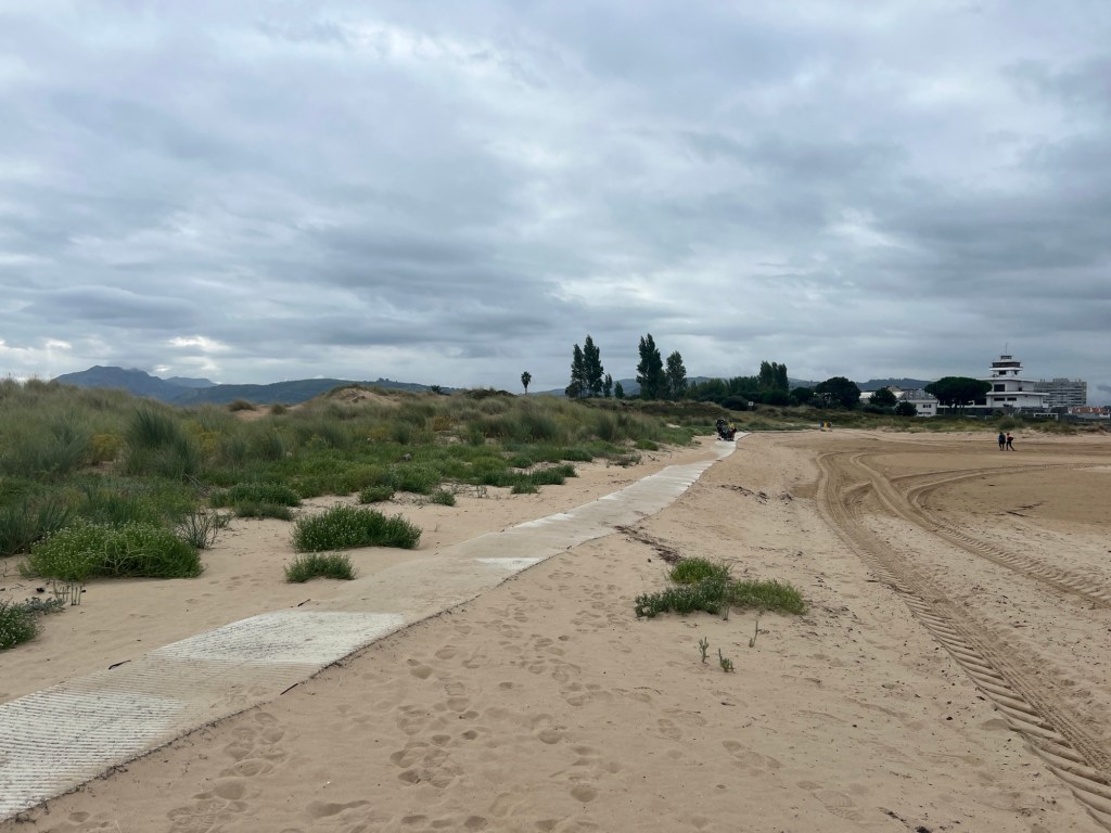
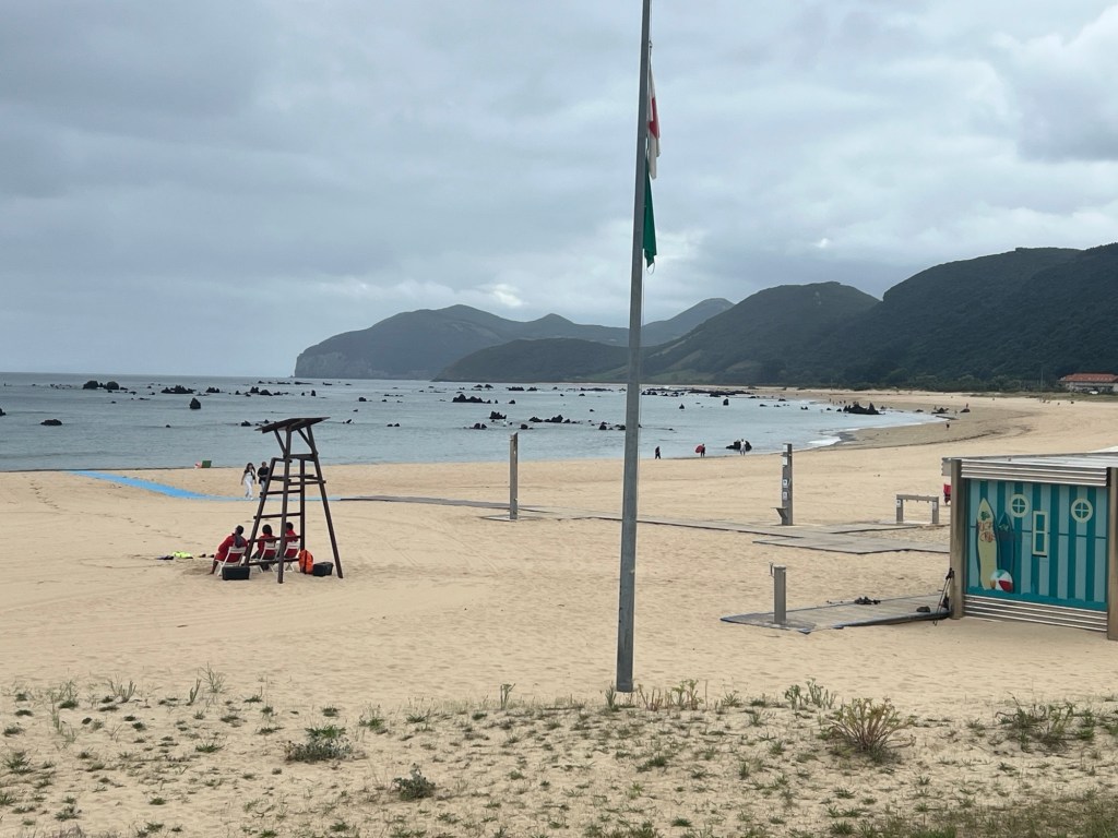
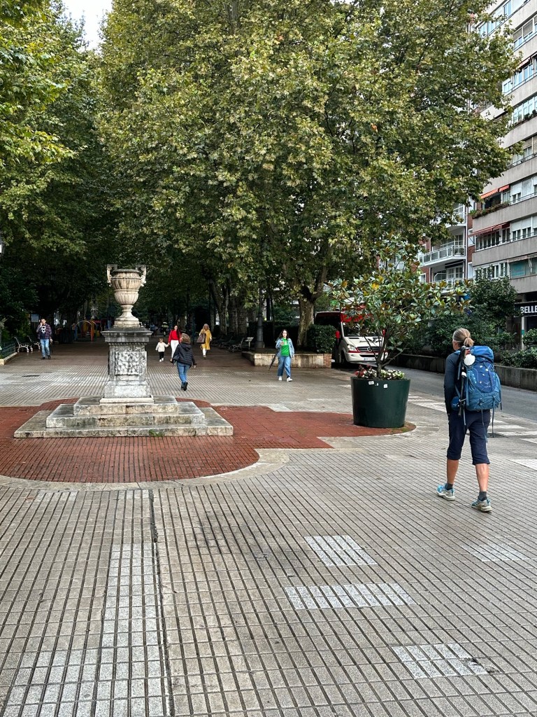
Our first and only rest day! After all the miles we’ve done so far, it was great to have a rest day. Santander is a busy city, so we rented a car and headed out to the coast to visit the town of Liencres, the Natural Park of Liencres Dunes, and a few other beaches around the town. Beautiful coast!

September 13, 2023
Santander to Barcena de Cudon – 17.7 miles, 1320 ft elevation
The first few miles today were getting out of Santander. After that there were some roads and some farmland. We followed the arrows, which mark the way, and somehow ended up walking a few more miles than predicted. Finally made it to the hotel, a rural home out of the way. We walked extra today, and we think tomorrow should be shorter because of that. Let’s hope that’s right!

September 14, 2024
Barcena de Cudon to Santillana del Mar – 9.6 miles, 785 ft elevation
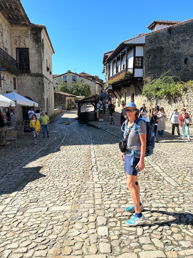
Beautiful sunny and cool weather to start the day. We warmed up soon after we started walking. Not much to see during our walk, and didn’t find anywhere to stop for coffee, so we just walked to our destination for the day. Since we walked extra yesterday, today was an easier day. Santillana Del Mar is a nice medieval town, lots of character , and lots of people! We had a nice lunch and walked around the town.


September 15, 2024
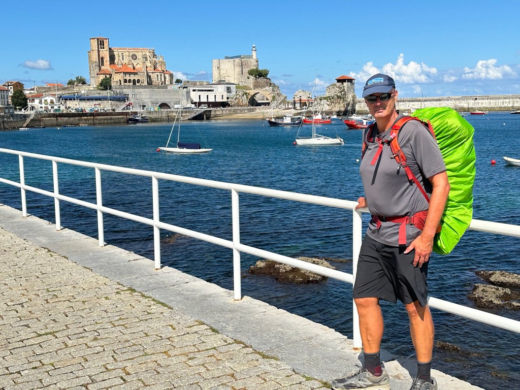
Santillana del Mar to Comillas – 14.6 miles, 1,830 ft elevation
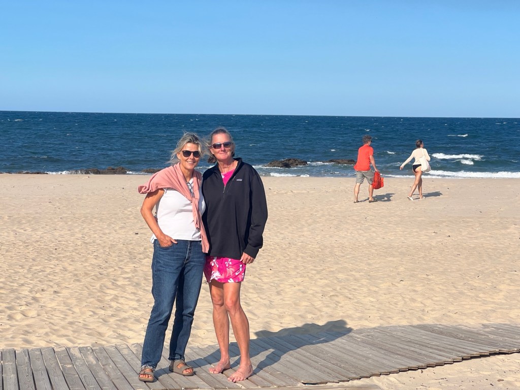
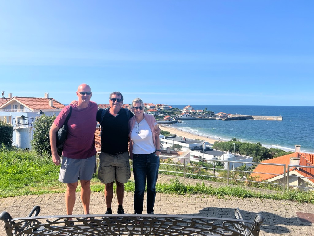
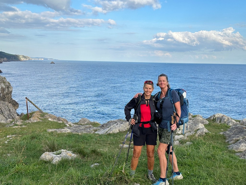
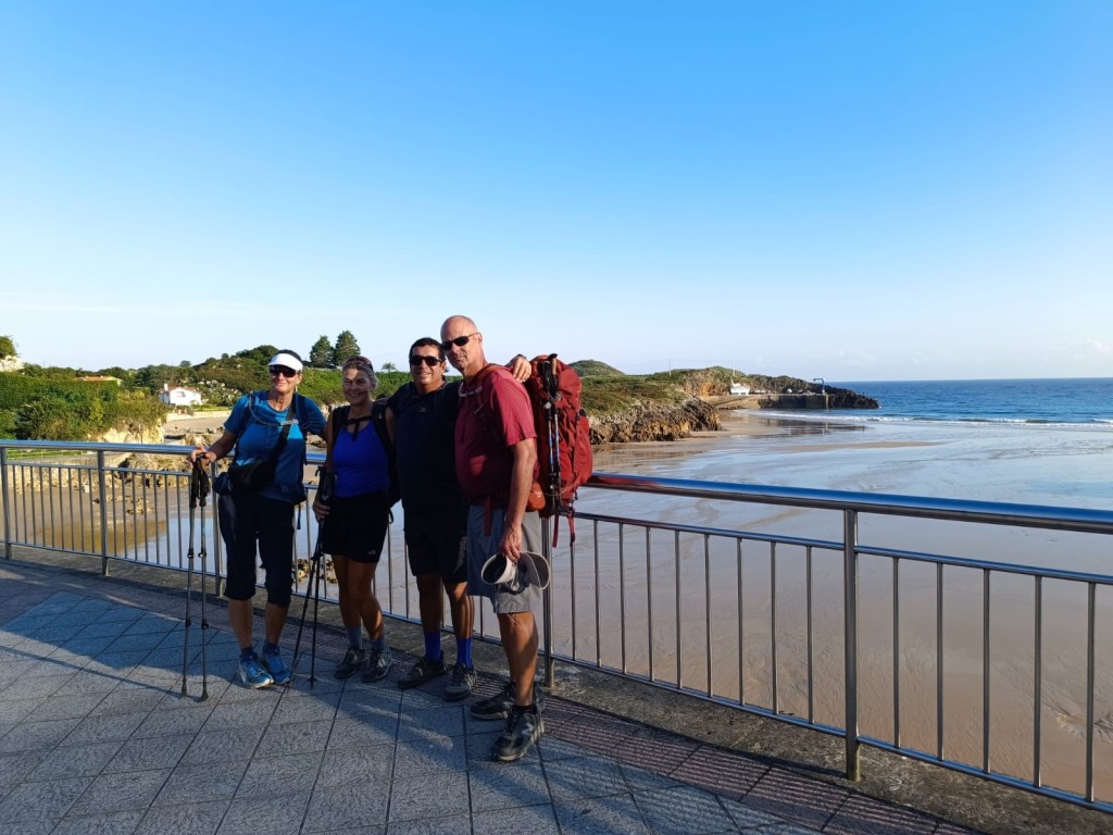
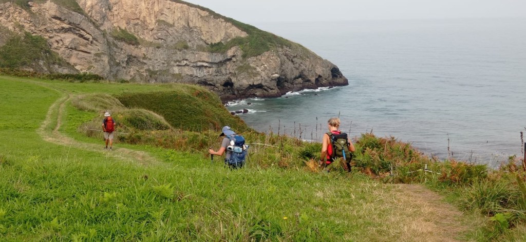
We left Santillana Del Mar, weather was sunny and cool. A few hills later we were all warmed up. We walked through some farmland, and some roads, and started getting more ocean views. We made it to Comillas for lunch, and met my sister Kristina and her husband Joan. They will walk with us a few days.


September 16, 2024
Comillas to Unquera – 16.4 miles, 1613 ft elevation
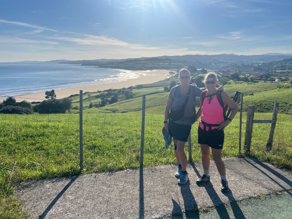
Another beautiful sunny and cool start to the day. It warmed up quickly! Had some more amazing coastal views, and some farmland. Most of the day we walked in roads, which makes it much harder on the legs. Kristina and Joan survived their first day like champs!


September 17, 2024
Unquera to Llanes – 17.5 miles, 2265 ft elevation
Kristina and Joan brought us some nice weather! Cool and sunny to start with, warming up after. We had a bit of cloud coverage towards the end, which was great. Today was a better day of walking on more trails, and less on roads, with amazing views. A few hills, but nothing crazy.
Leaving Unquera we crossed from the Cantabria region to Asturias.


September 18, 2024
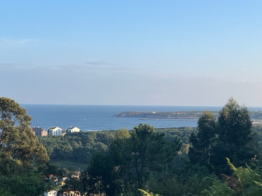
Llanes to Ribadesella – 19.8 miles, 1590 ft elevation
We left Llanes after breakfast through a tree tunnel. It was a long day! Started out along the ocean and we had some road and trail walking. It’s a bit crazy walking on the roads with cars zooming by! Trails are much nicer and quieter. We finally made it into Ribadesella, and found out our hotel had been switched, so we had to add another mile to the day.


September 19, 2024
Ribadesella to Colunga – 12.6 miles, 1410 ft elevation
Another nice weather day, cool early, and it warmed up later. We started along the water in Ribadesella, and had ocean views a good part of the day. We walked through some cute little towns to arrive in Colunga. We’re a distance away from the ocean, and will be for the next few days.


September 20, 2024
Colunga to Villaviciosa – 11.4 miles, 1350 ft. elevation
We had a shorter day today, which was a nice break. The air quality wasn’t great, as we seemed to get a bit of smoke from fires burning South of our location. We walked through farmland, and a bit on roads. No ocean views today. We arrived in Villaviciosa in time for lunch and a little walk around town. We’re expected to get rain starting this evening and pretty much all day tomorrow. Today was Kristina and Joan’s last day of walking with us. It’s been great having them with us, we’ll miss them!


September 21, 2024
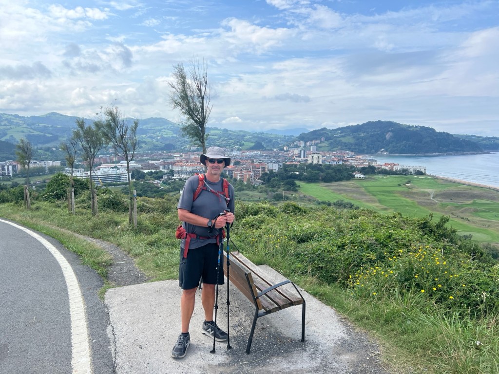
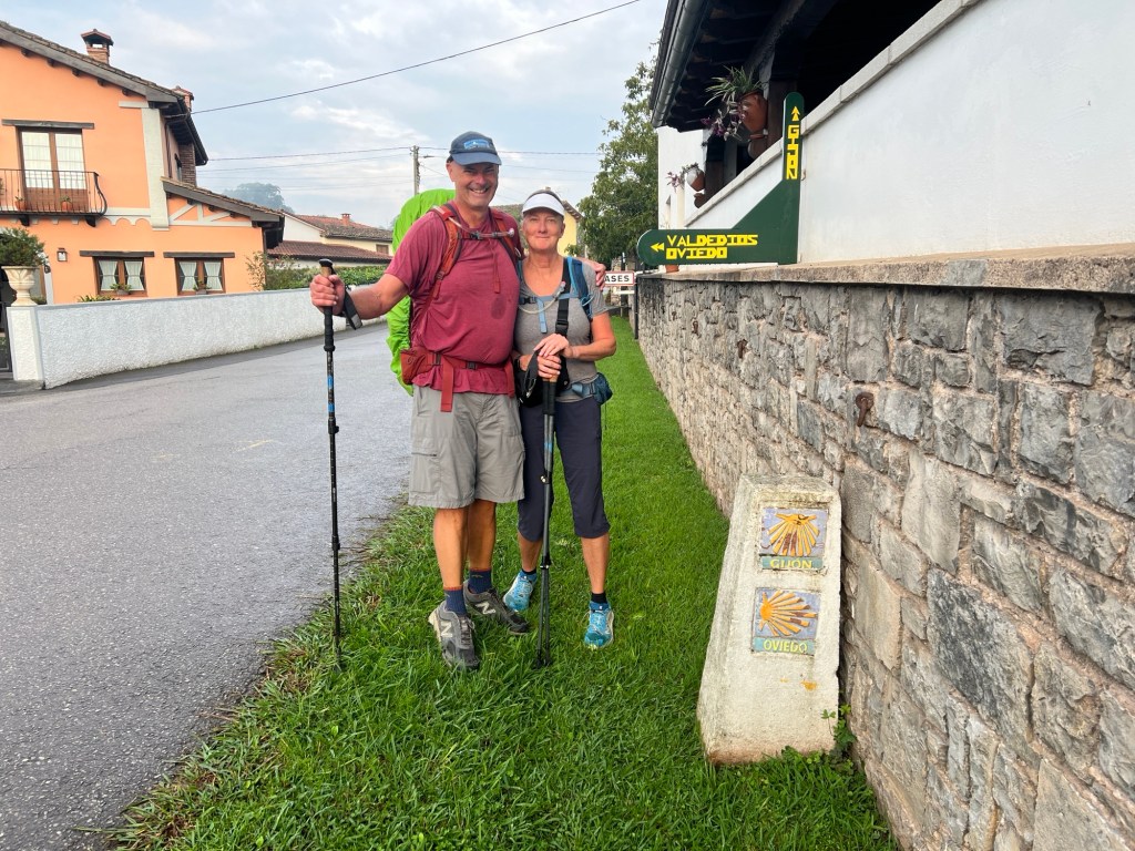
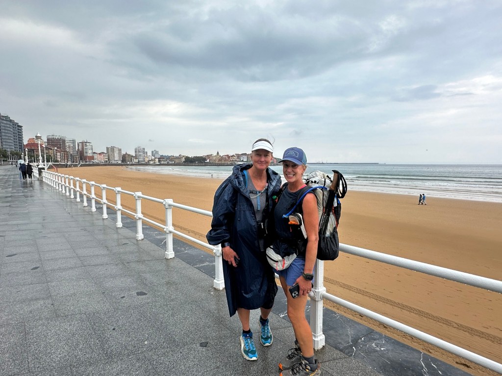
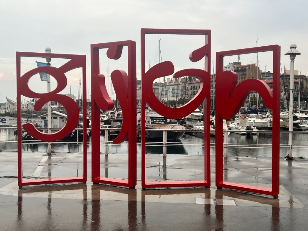
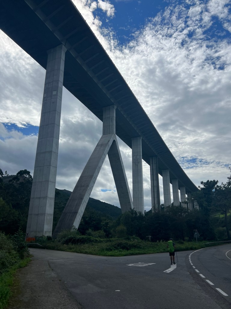
Villaviciosa to Gijón – 20.3 miles, 2547 ft elevation
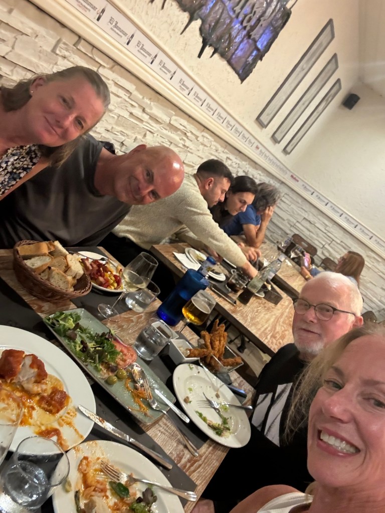
As we left Villaviciosa it was raining a bit, not too bad. It was a hard day of hiking! High mileage and some very big, steep hills! A few miles in, the Camino splits, you can take the Camino Primitivo or stay on Del Norte. We missed the sign and started going the wrong way. Luckily we saw two ladies who asked if we were doing the Primitivo route, so we had to back track and get back on the right path. That added a bit of distance to an already long day. As we got closer to Gijón, the real rain started. Had a nice dinner with Sharon and Chuck, who we met early on, on the Camino.


September 22, 2024
Gijón to Avilés – 17 miles, 1,115 ft elevation
The wether forecast was looking promising early today, but when we were done with breakfast it was pouring! Luckily, it didn’t last too long. Getting out of Gijón was quite something. It was nice for a bit, but then became very industrial and not so nice. We had read this is the worst stage of this Camino, and we would agree. We did have some nice areas, and visited a Neolithic dolmen. We finally arrived to Avilés taking a small detour by the river.


September 23, 2024
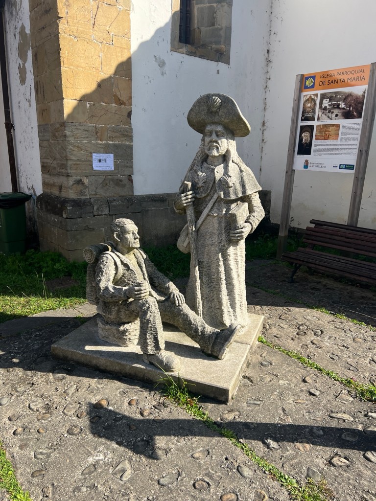
Avilés to Cudillero – 17.75 miles, 2,260 ft elevation
No rain today! We left Avilés, and started out with a hill. The walk today had lots of ups and downs. We walked near the ocean and had some ocean views, but didn’t get very close to it. Today’s walk had more walking on the highway than we would like, so anytime we had dirt trails or forests it was very welcome. Made it to Cudillero in time for lunch, which we really needed after hours of walking. We’re staying at a cute rural house.


September 24, 2024
Cudillero to Cadavedo – 19.7 miles, 3,508 ft elevation
Today was a hard day, with the long distance and hilly! Lots of ups and downs, but we had great views, and some nice walking in forests and jungle- like areas. We also hit quite a bit of mud, and had some sections on the road, which is not great. We started early and caught a nice sunrise. The rest of the day was sunny and nice.


September 25, 2024
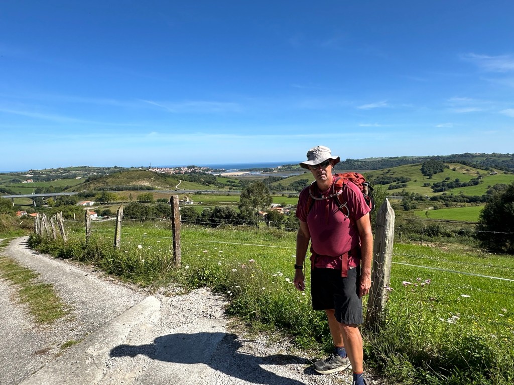
Cadavedo to Navia – 24 miles, 2,585 ft elevation
What a day! We left Cadavedo and it was cool and overcast. Got a bit of rain on and off. After about 10 miles we found a place for coffee and took a break. The wind picked up really quick and became very strong. The rest of the day was pretty crazy with the wind, and a downpour towards the end. Walking through Luarca was nice, getting to our destination was even better. It was our longest distance in our Camino, although we still have more long days ahead.


September 26, 2024
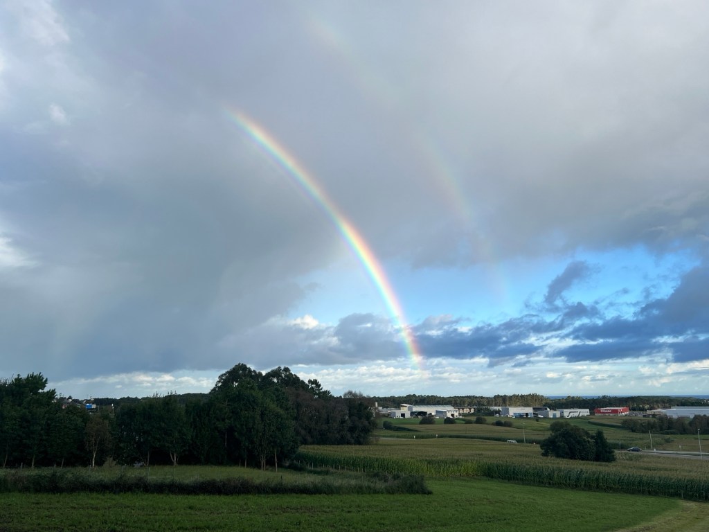
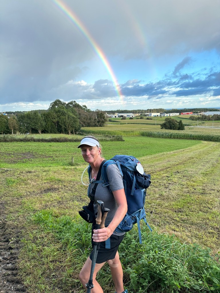
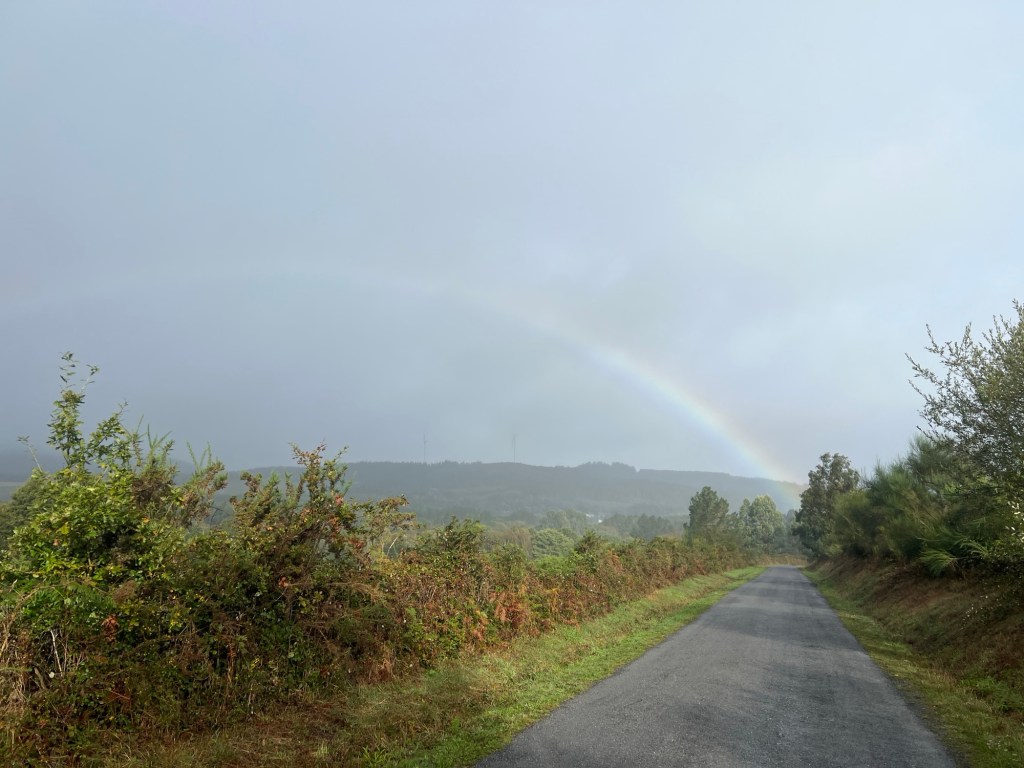
Navia to Ribadeo – 21.8 miles, 1,600 ft elevation
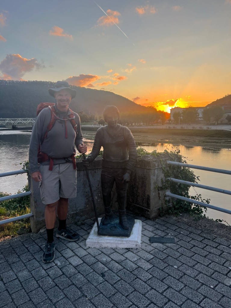
Today’s forecast was for rain and wind again. We saw a double rainbow early into the walk. By the time we stopped for our coffee break it was pouring. After yesterday, I was tired and my knees were not happy, so I decided to give myself a break, which was hard to do, but the right thing. I walked only 10 miles and Sean kept on going. The rest of the day he walked solo, so most of the pictures are from his walk.
Also, today we left Asturias and arrived to Galicia, the last region of the Camino. We will arrive to Santiago in a few days and continue to Finisterre.


September 27, 2024
Ribadeo to Lourenzá – 18.6 miles, 2570 ft elevation
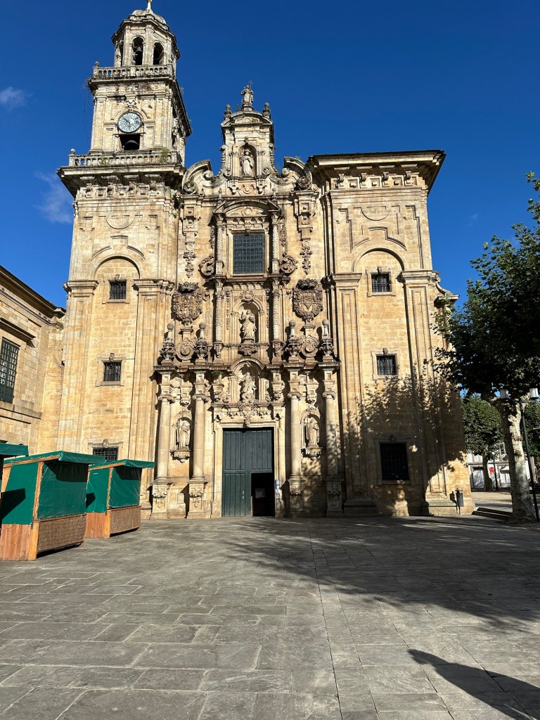
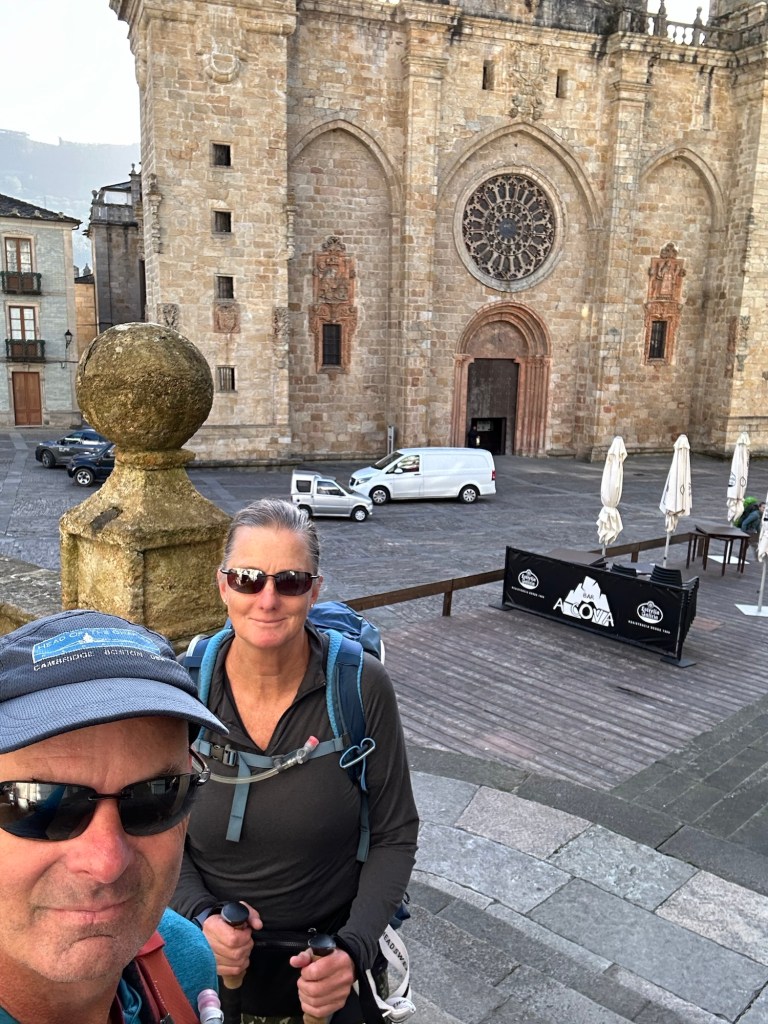
We left the coast today until we get to Finisterre. We’re back in Galicia with some hills and the Galicia kilometer markers. Not many places to stop, so it took a while to get some food. Finally found a little café in the mountain and got a sandwich for lunch. The town where we ended up, Lourenzá has a pretty famous cathedral. The same architect that made the façade, Casas y Nova, is also responsible for the cathedral in Santiago de Compostela’s façade.


September 28, 2024
Lourenzá to Abadín – 14.7 miles, 3,270 ft elevation
We had a cool and foggy start of the day. As soon as we left Lourenzá, we hit the hills. It was a mostly uphill day, especially with a very long hill after the town of Mondoñedo. In Mondoñedo we were able to get some coffee and a snack, and also checked out the cathedral.
After the long hill, it was more of a rolling hill walk. Great views. We made it to Abadín in time for lunch. There’s basically one restaurant in this small town, so the wait was very long, but finally got fed!


September 29, 2024
Abadín to Vilalba – 12.8 miles, 995 ft elevation
After the big climb yesterday, it was nice to have an easier day. Shorter distance, and no big hills. Weather was good for walking. Not many pictures today. Tomorrow is another big day, so we’re resting up after lunch and laundry.

September 30, 2024
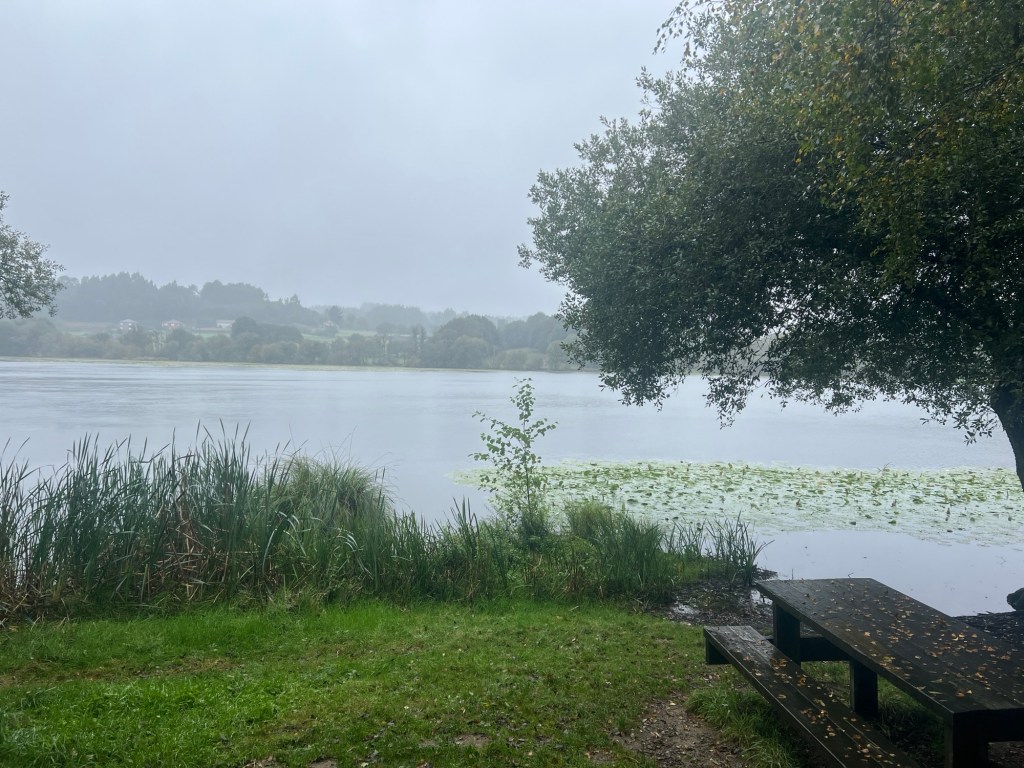
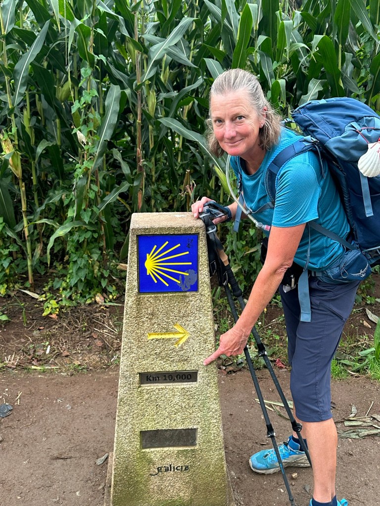
Vilalba to Miraz – 22 miles, 1,584 ft elevation
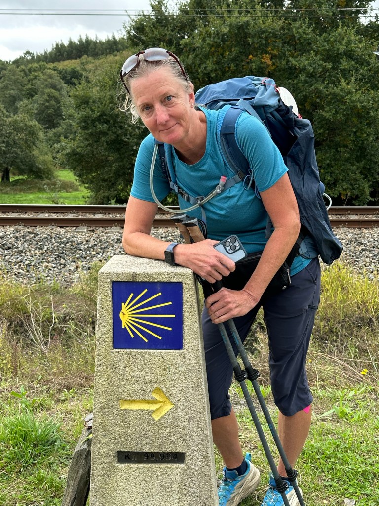
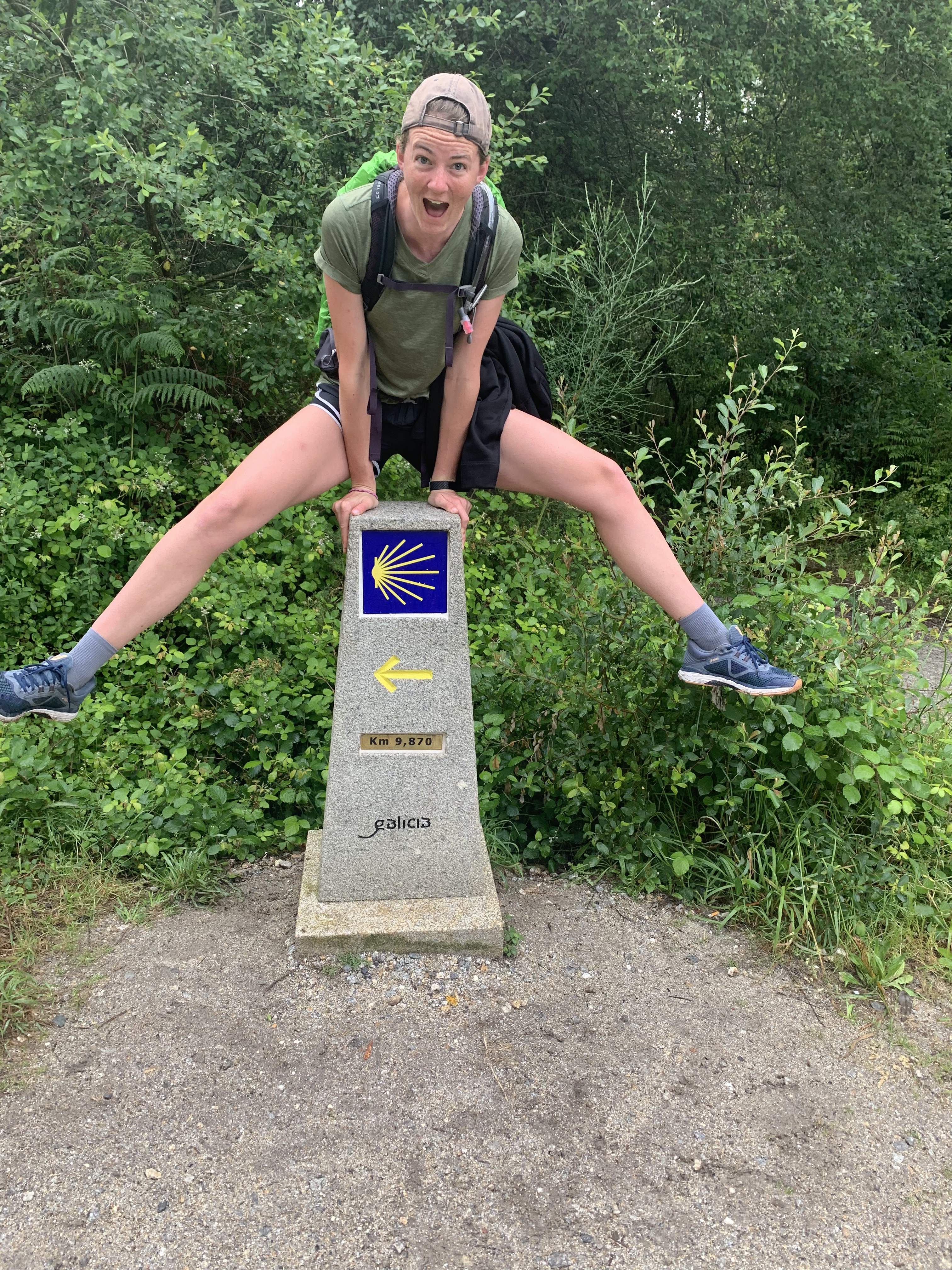
We had a rainy start to the day, but luckily it didn’t last too long. We didn’t get much of a breakfast, but we found a place with sandwiches after a few miles. There are often long stretches without any food or drink, so we have to take advantage when we can. The Camino split into two options, we had to take the longer one because our hotel is on that side. We also passed the 100 Km marker today. We expect it to get much busier as many pilgrims do the last stretch.


October 1, 2024
Miraz to Sobrado dos Monxes – 15.75 miles, 1,470 ft elevation
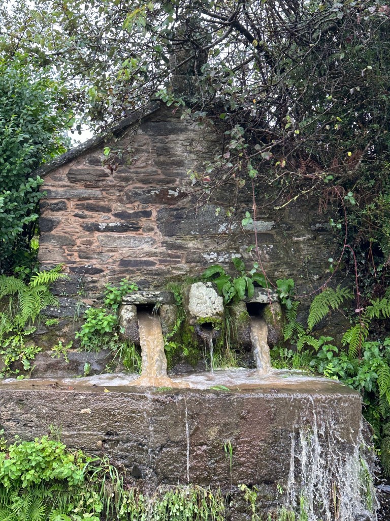
We left Miraz with a little rain that lasted pretty much all day. Not too heavy, but a constant drizzle. A few hills and water features were the theme of the day. It was good to get out of the rain when we were done walking. More rain expected for the next few hours.


October 2, 2024
Sobrado dos Monxes to Arzua – 14 miles, 1,275 ft elevation
Rain, rain, and more rain!! We were warned about heavy rains, and it didn’t disappoint. We got drenched within minutes of starting the walk.
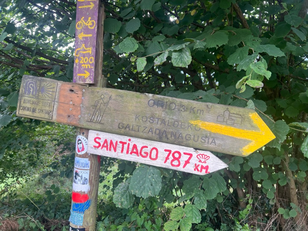
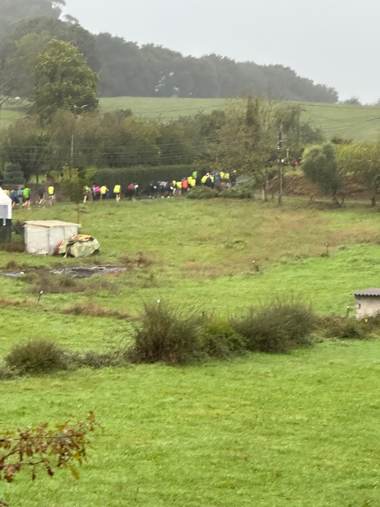
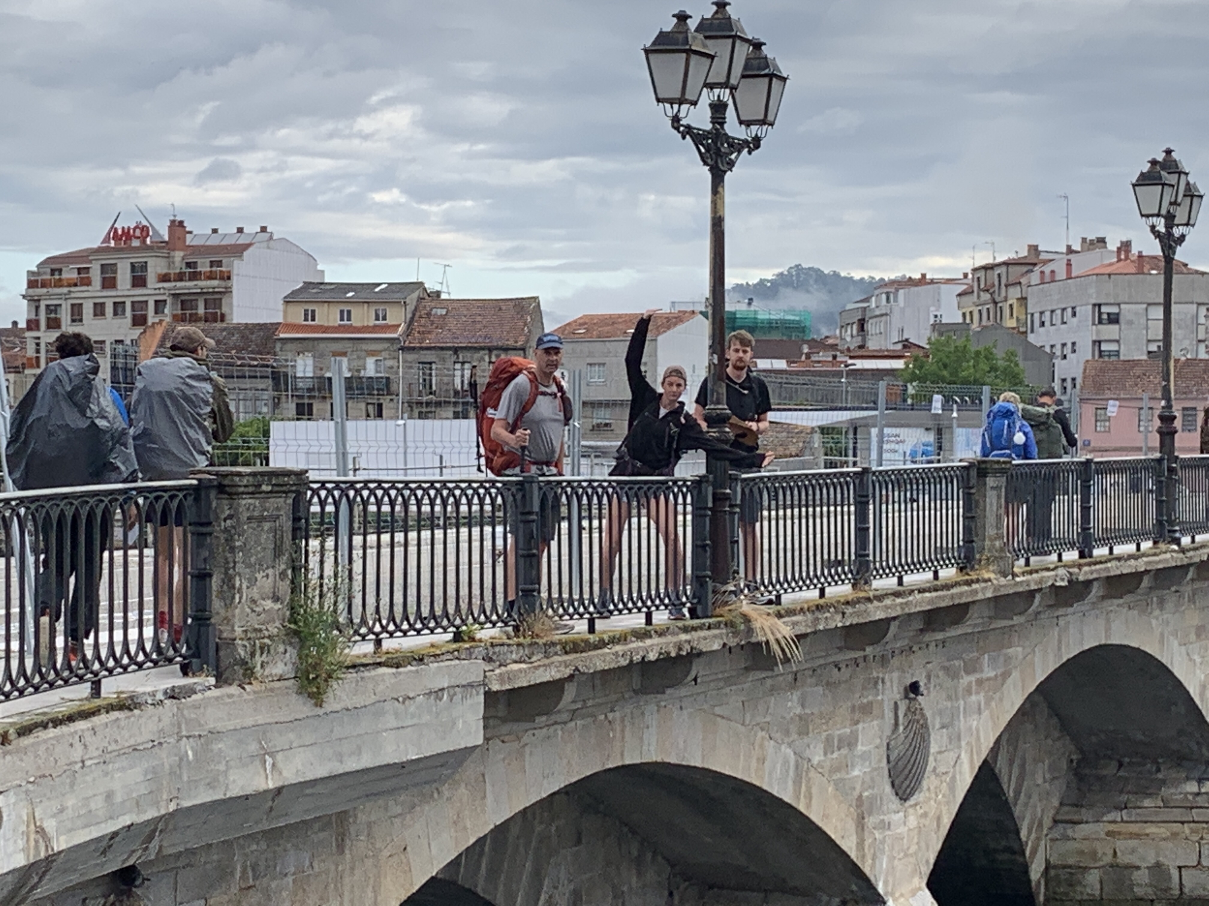
Today we walked to Arzua, where the Camino del Norte meets the French Camino. As soon as we got to town, it’s very noticeable, so many more people! It’s going to be crowded for the next 2 days until we get to Santiago de Compostela. We have less than 40 Kms left (less than 25 miles!) to Santiago.


October 3, 2024
Arzúa to Amenal – 15.35 miles, 1,320 ft elevation
We started the morning with a light drizzle, but most of the day was dry. It’s amazing how many more people are on this part of the Camino, it was hard to even walk at first. After we passed some really big groups it got a bit better. Tomorrow we plan on an early start to avoid the big crowds. We have just a few more kilometers to Santiago.
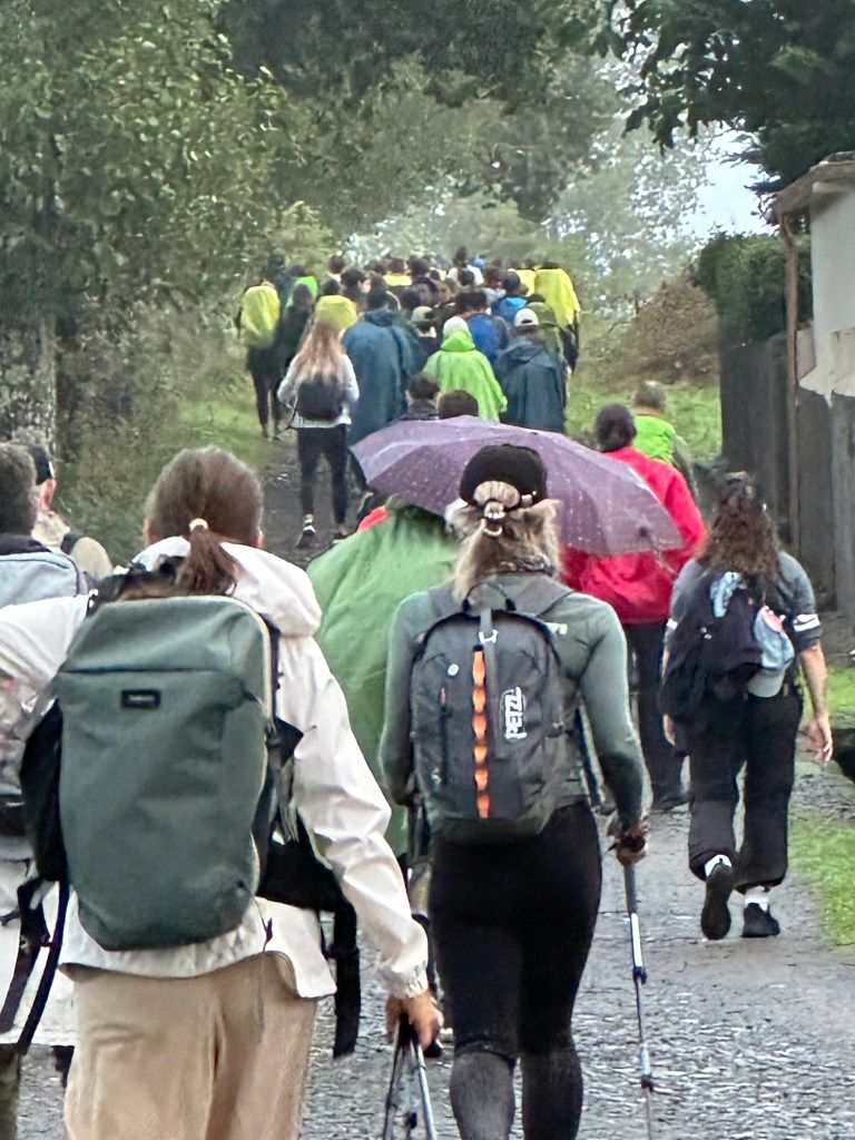


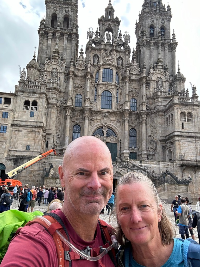
October 4, 2024
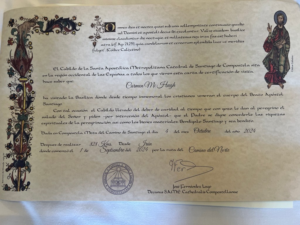
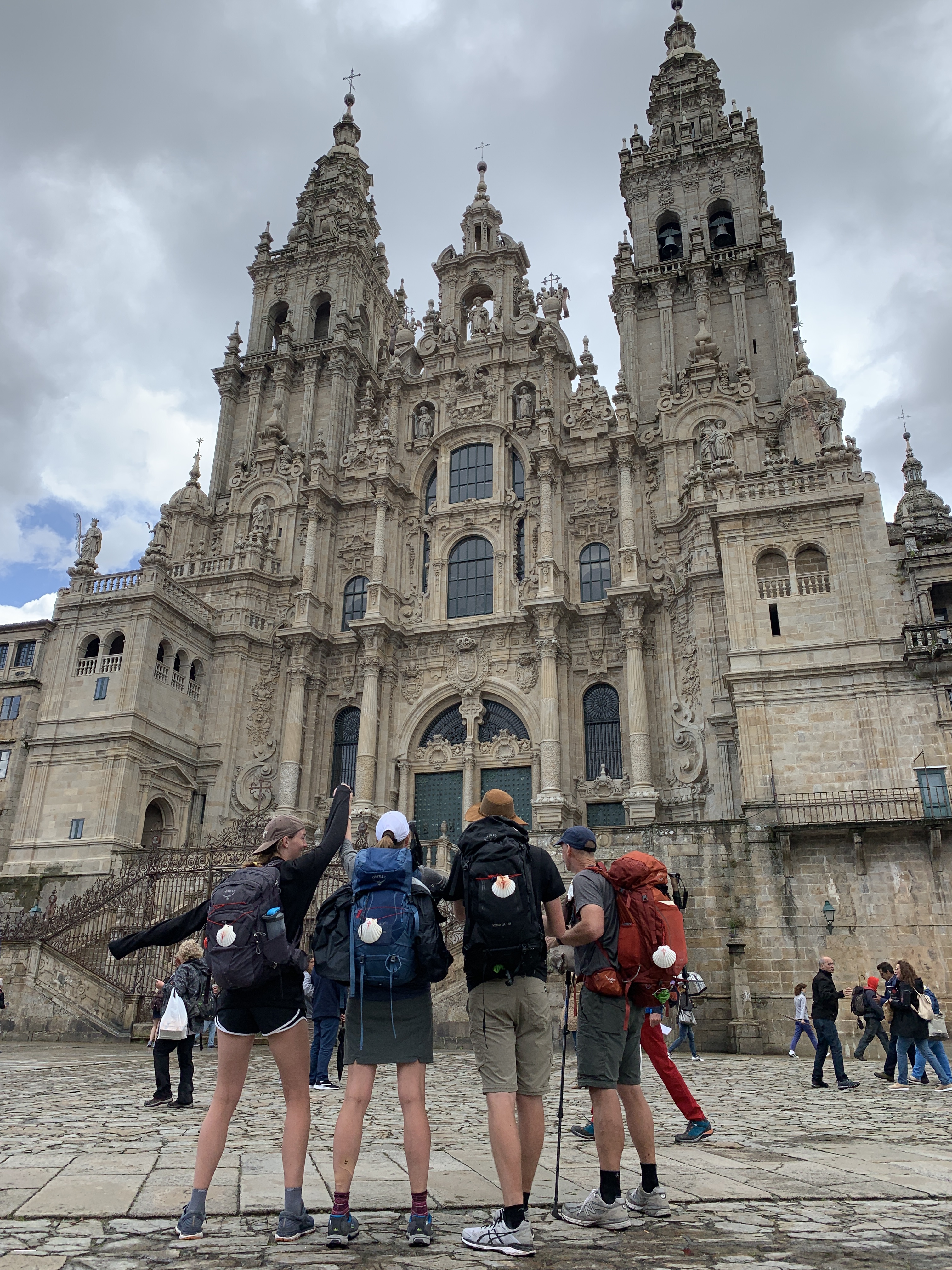
Amenal to Santiago de Compostela – 10 miles, 860 ft elevation
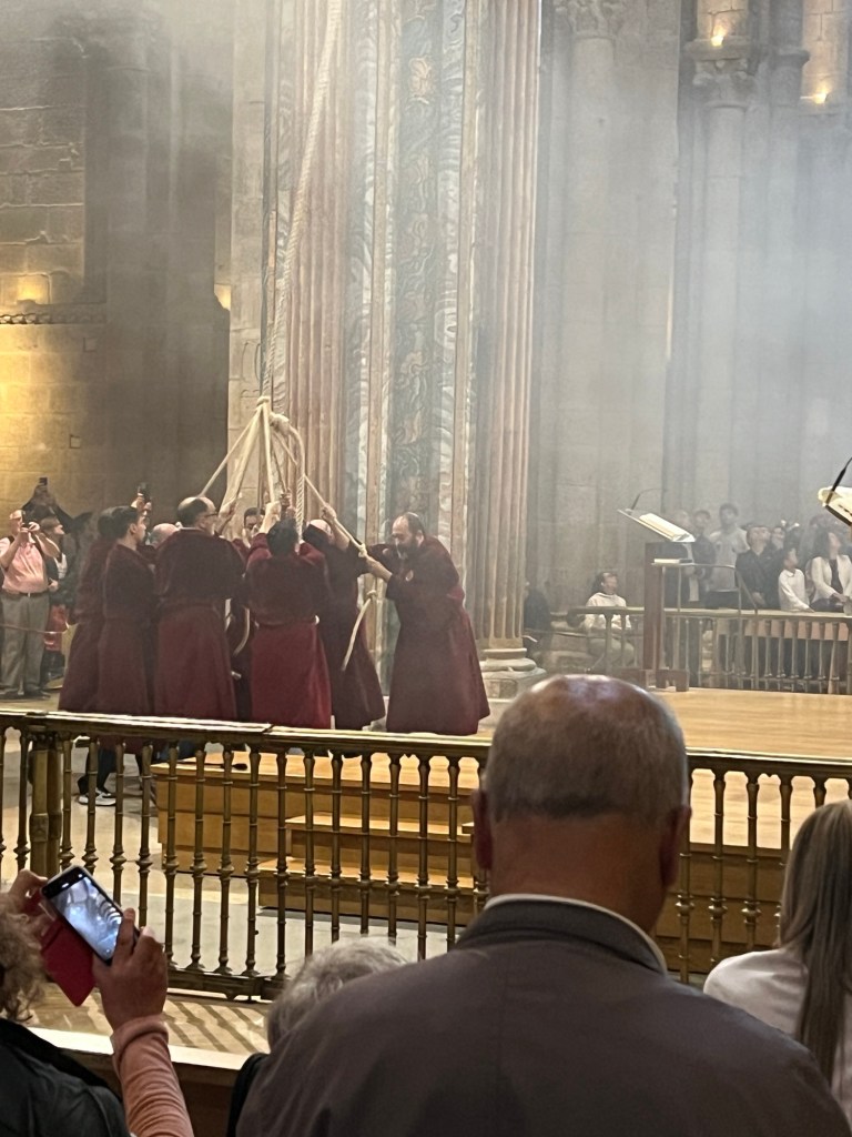
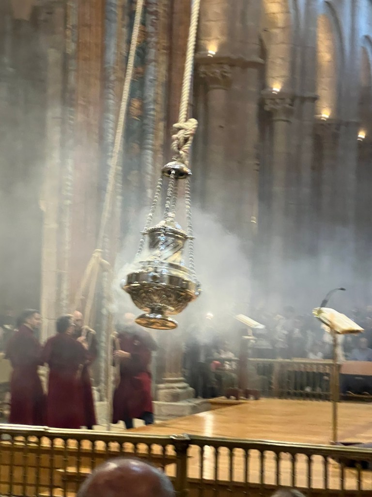
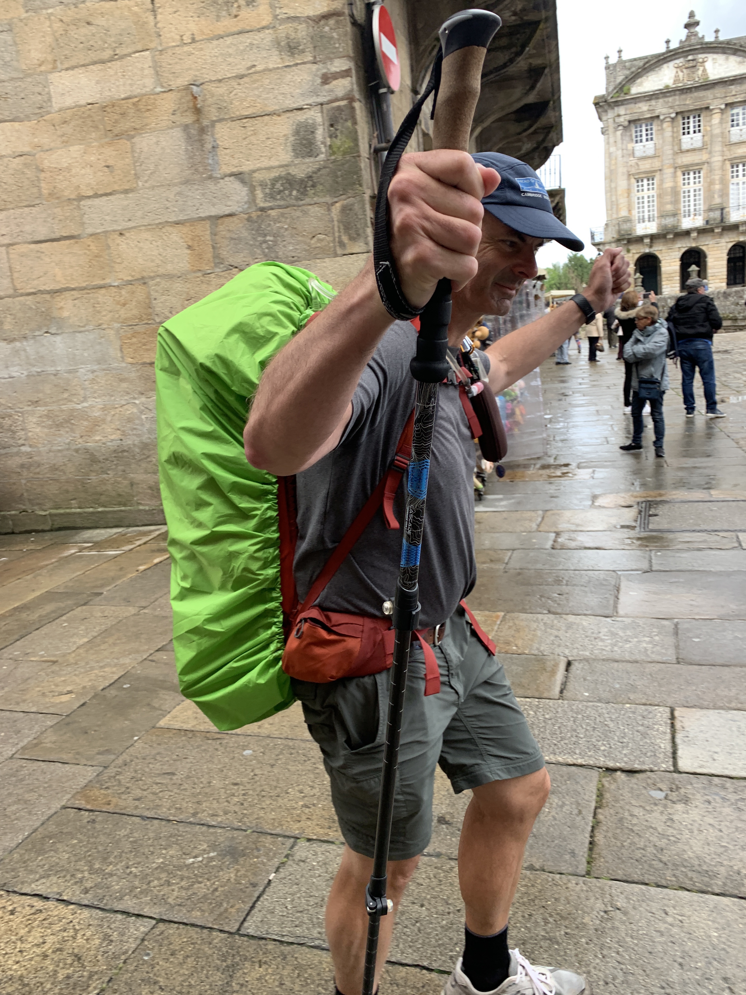
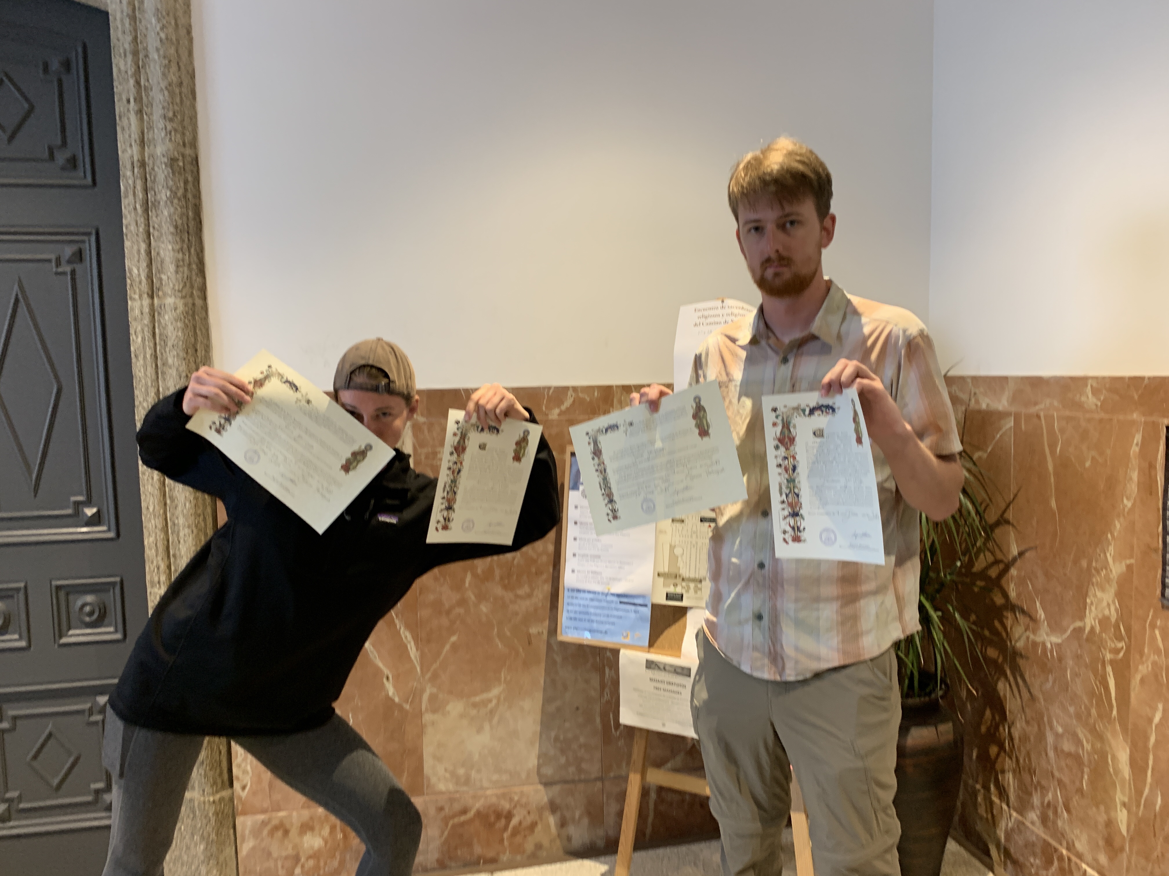
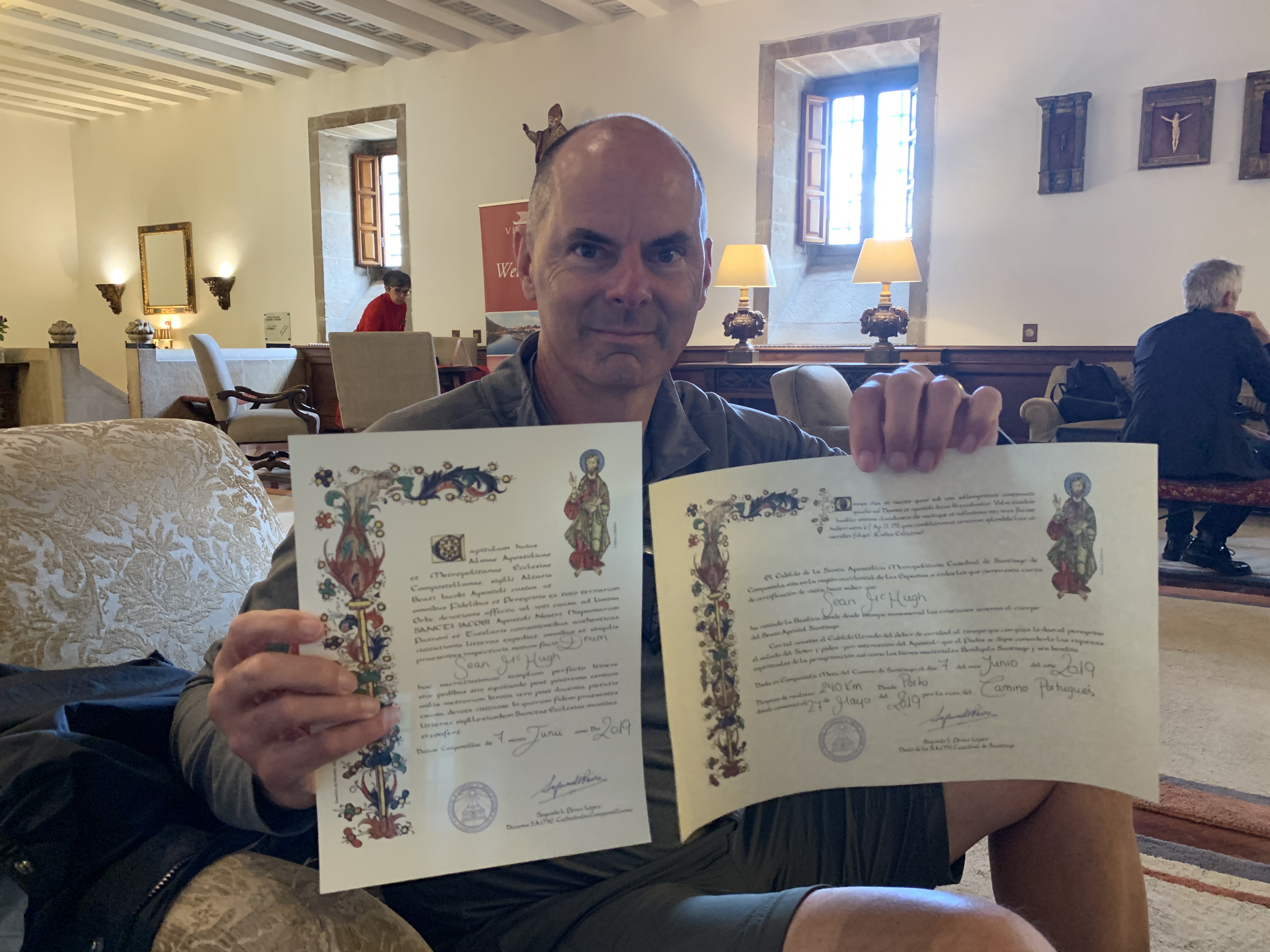
We left Amenal very early to avoid crowds. It was still dark and drizzling a bit. When it started getting light, it was very foggy until we reached Santiago, then the sun came out. We were able to walk at a good pace, with not too many people. It was nice to see the Km markings go down to single digits after all the days walking. As soon as got to Santiago, we went to the Pilgrim’s office to get our Compostelas and Certificates of distance. We also attended the Pilgrim Mass at the cathedral, where we saw the Botafumeiro, a huge incense urn that takes 8 monks pulling it, to swing it high up from side to side in the cathedral.
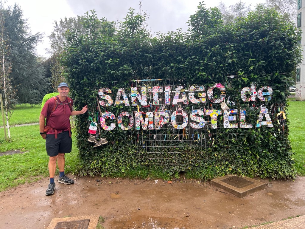

That’s a wrap on this one, tomorrow we start Camino Finisterre, 4 more days of walking!
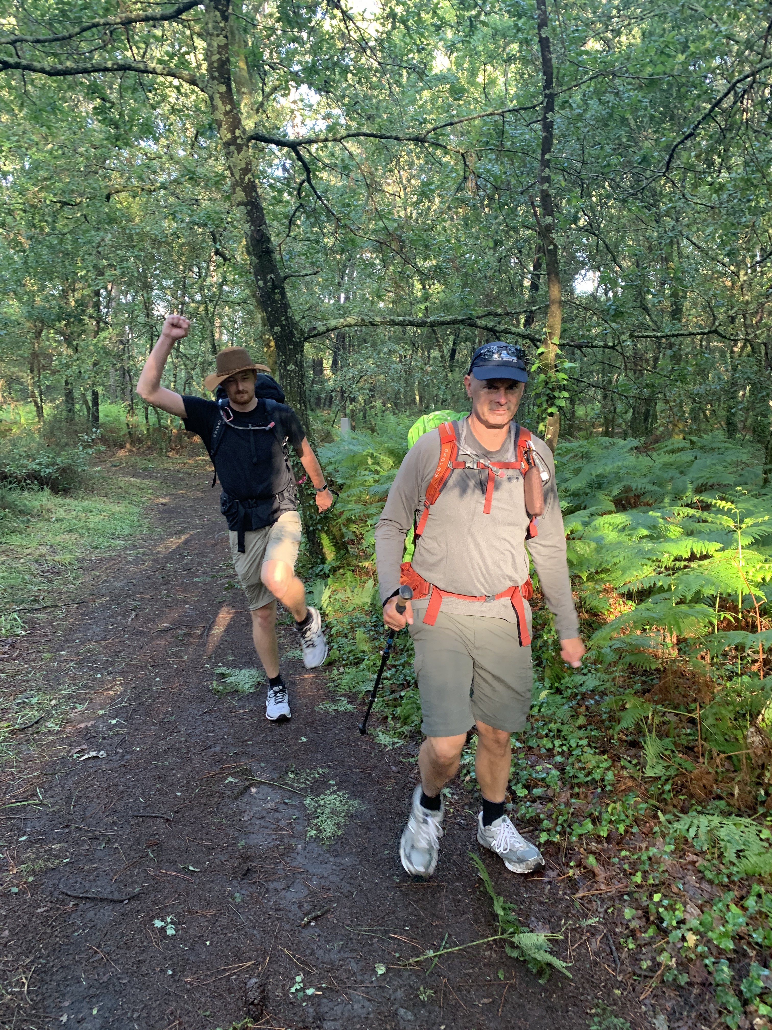


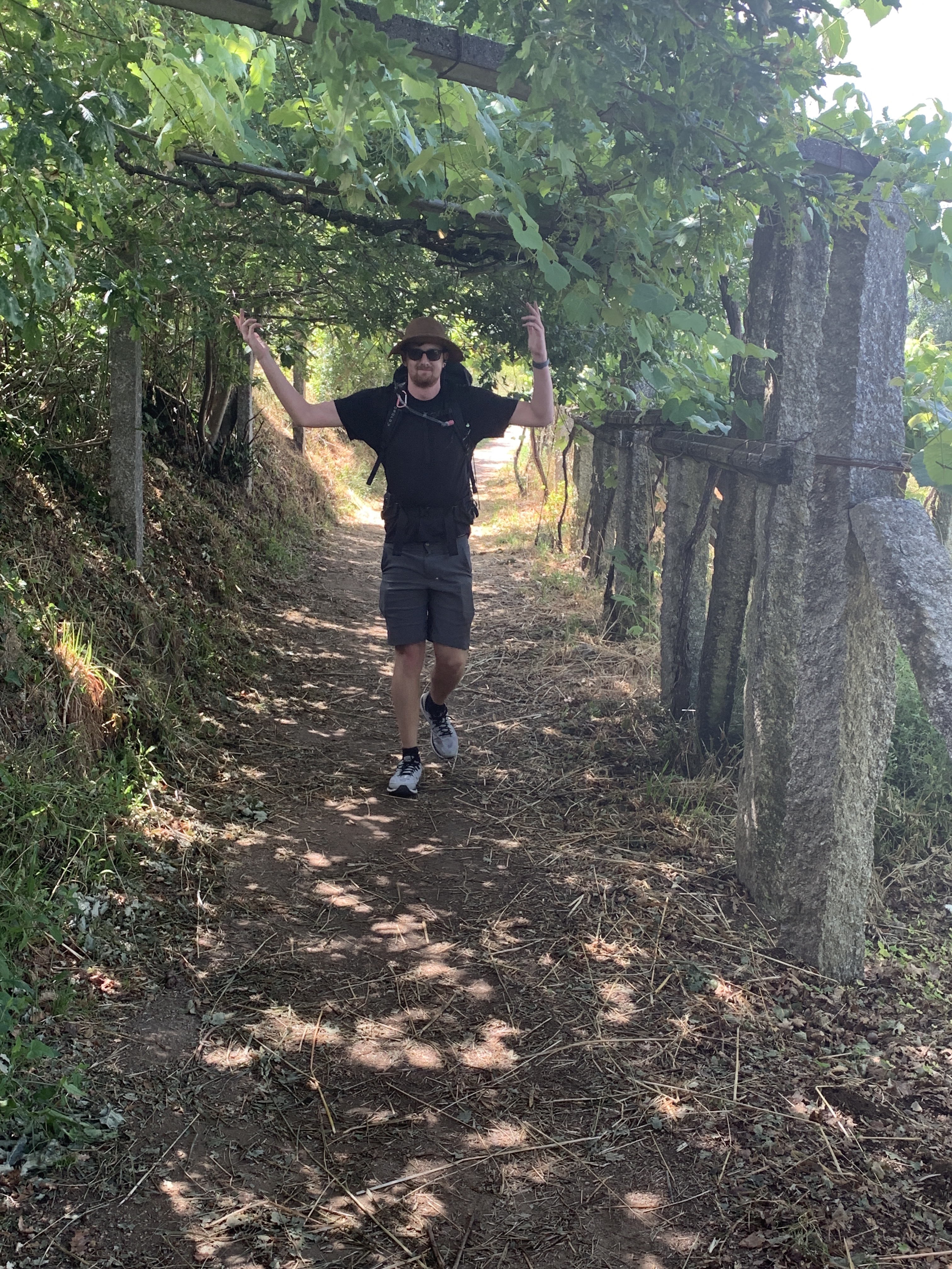
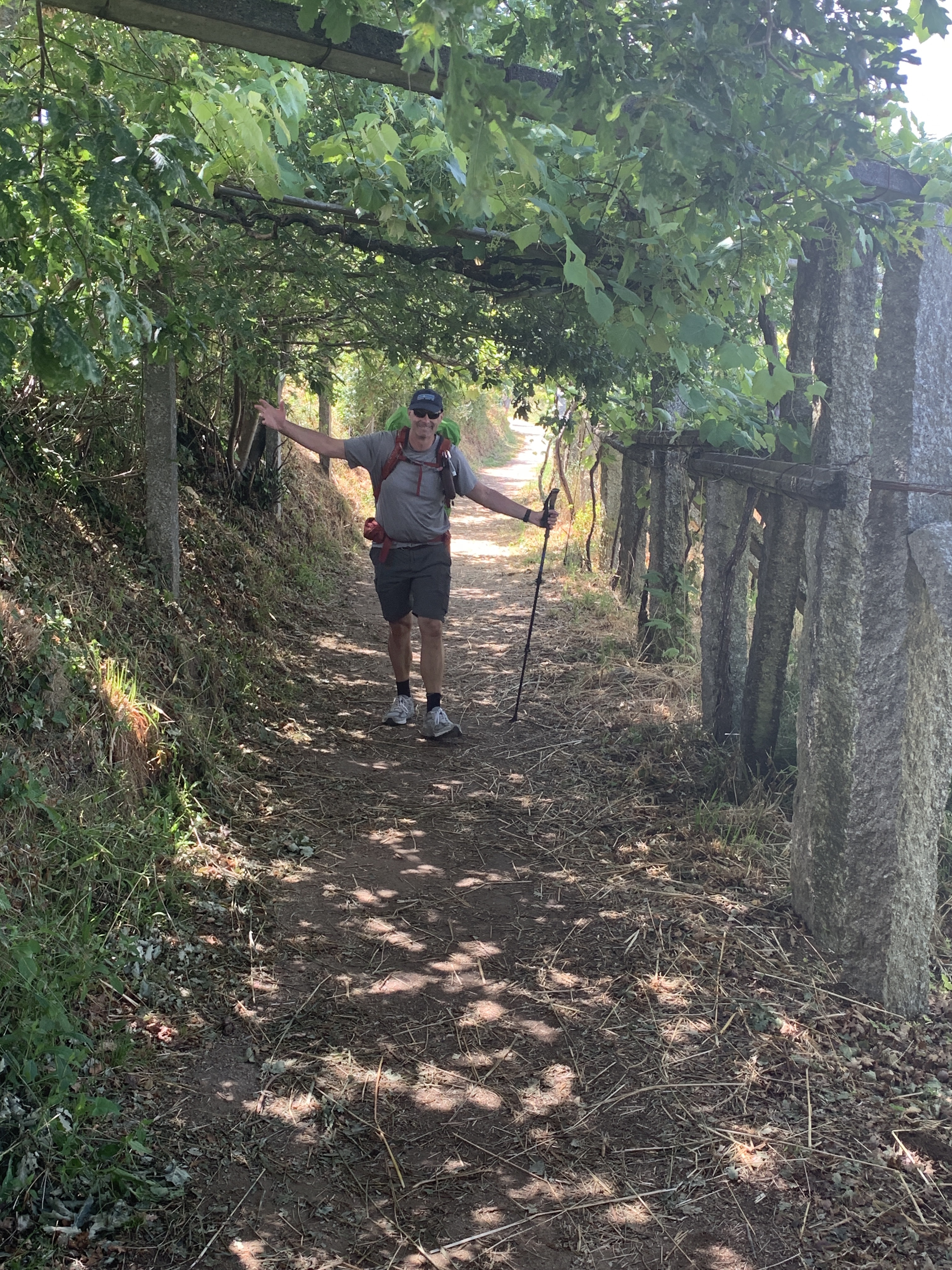


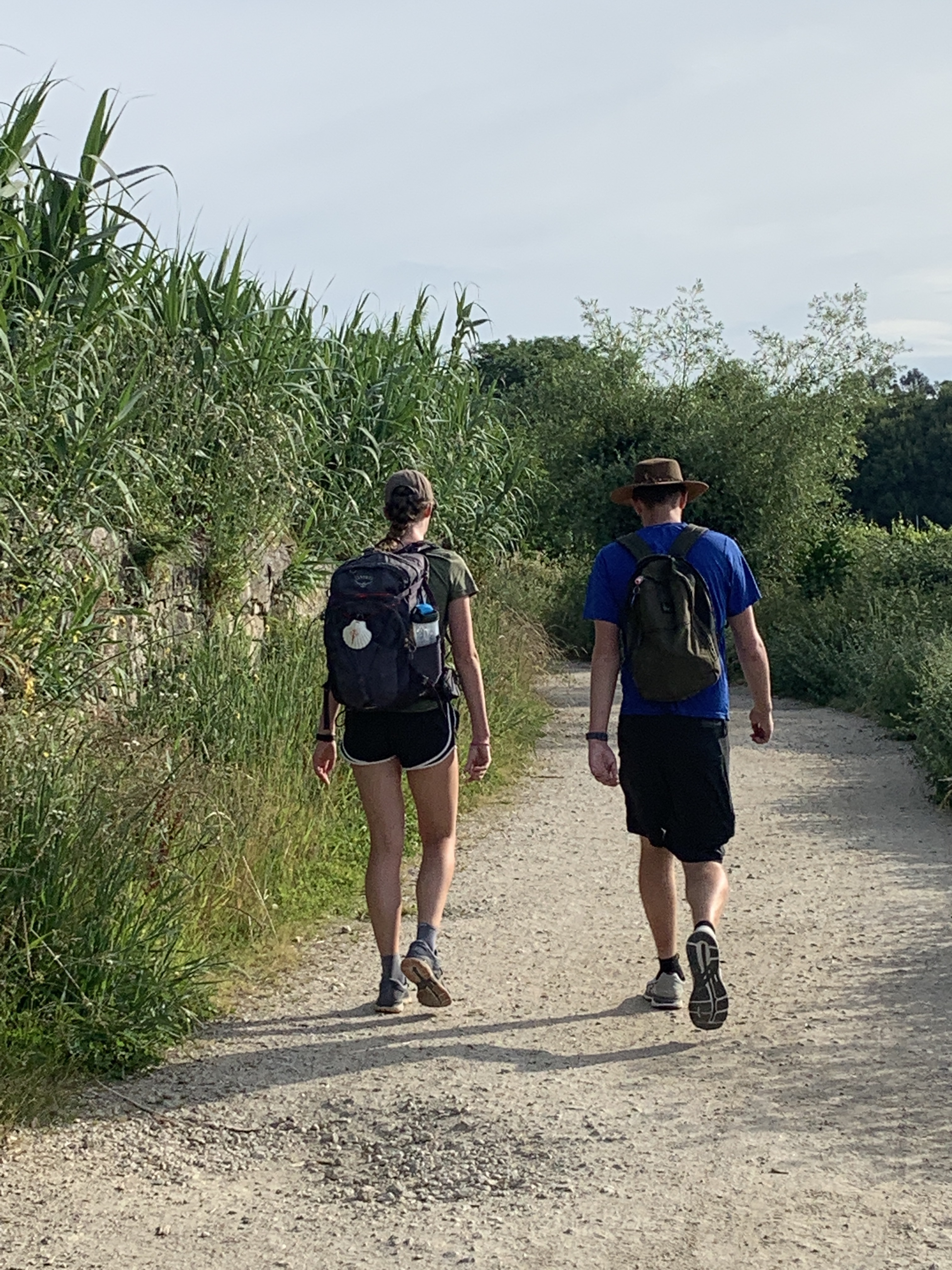


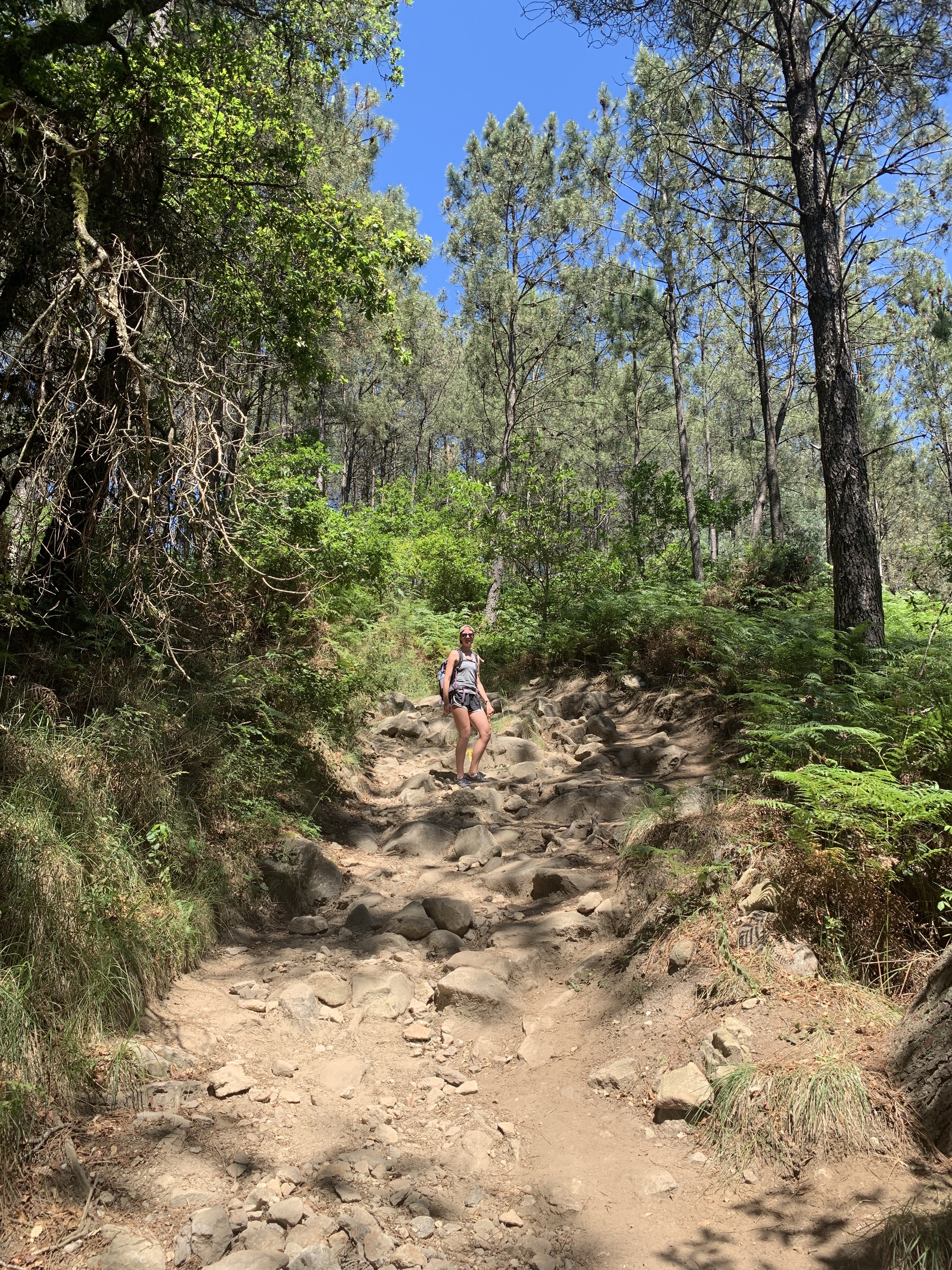

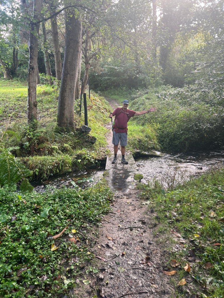
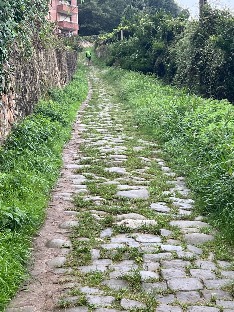
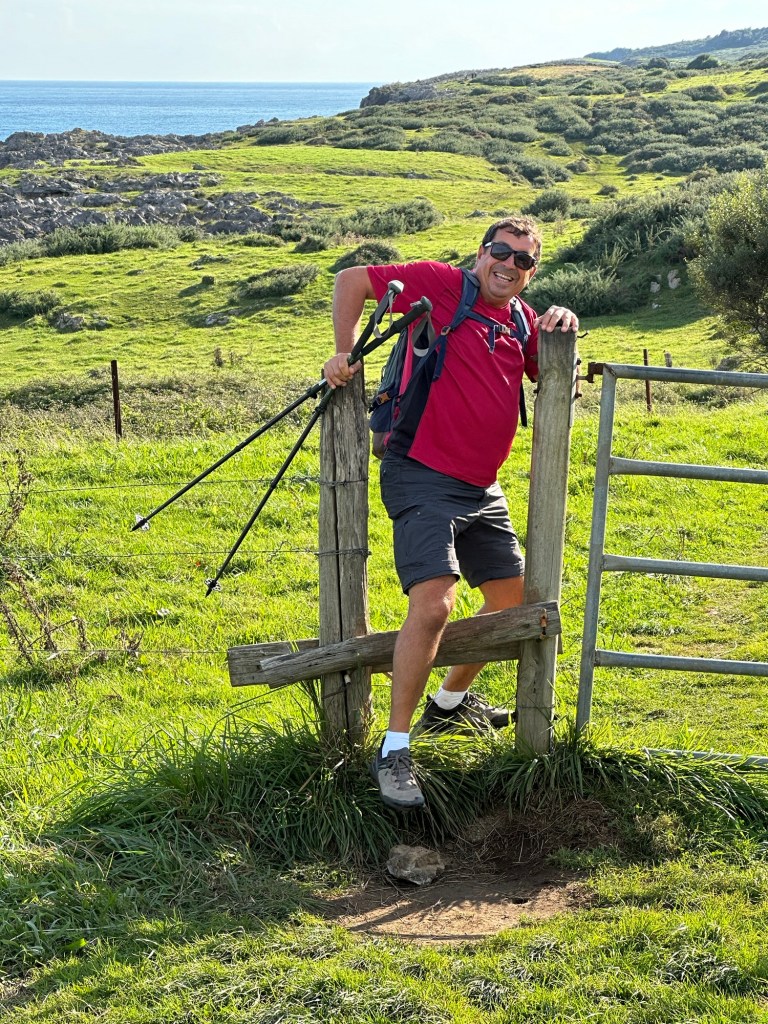
 Nice trail! This is much better!


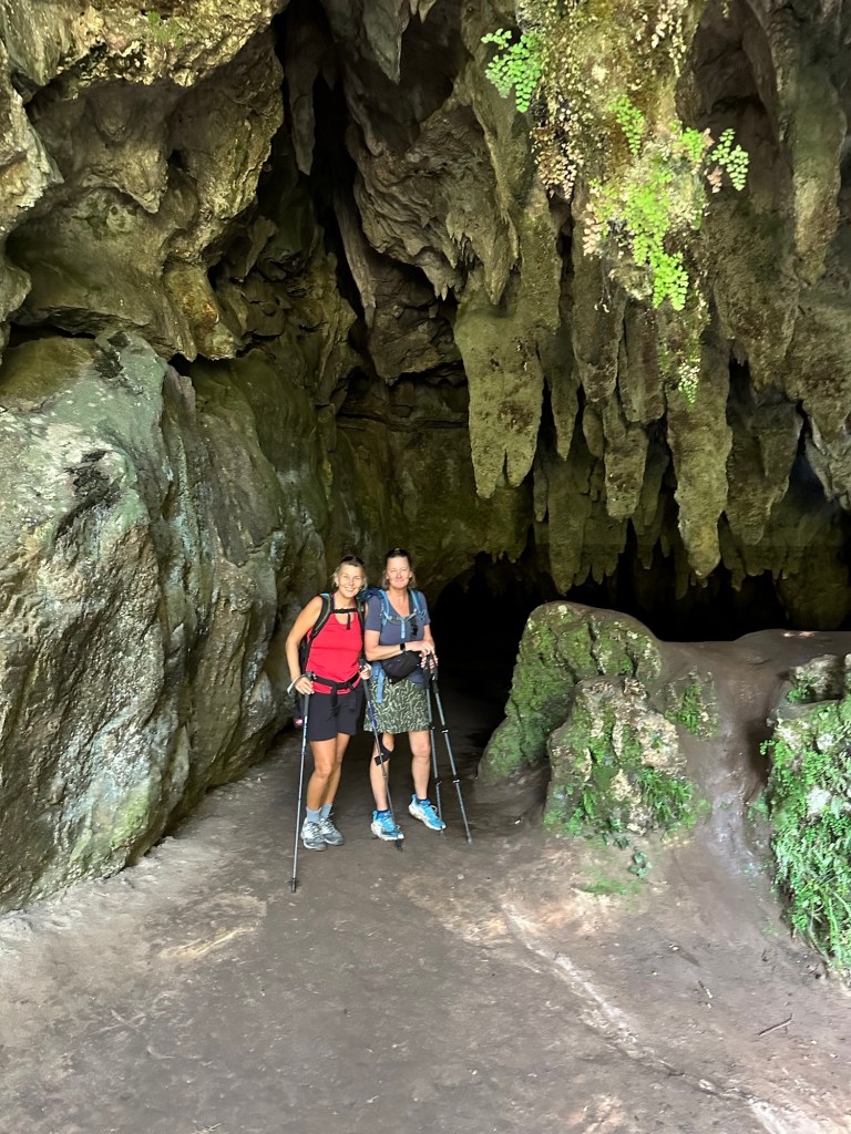
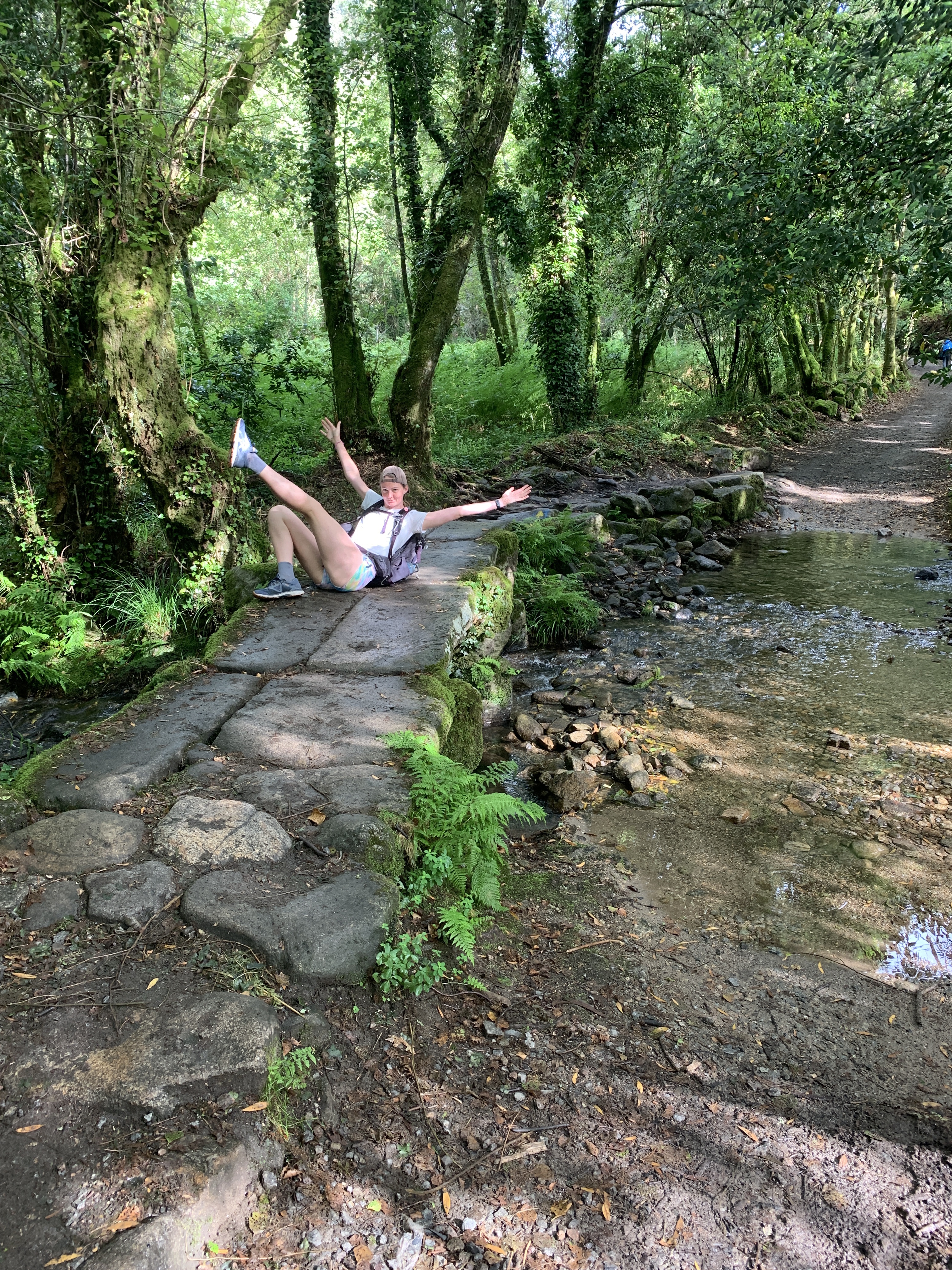
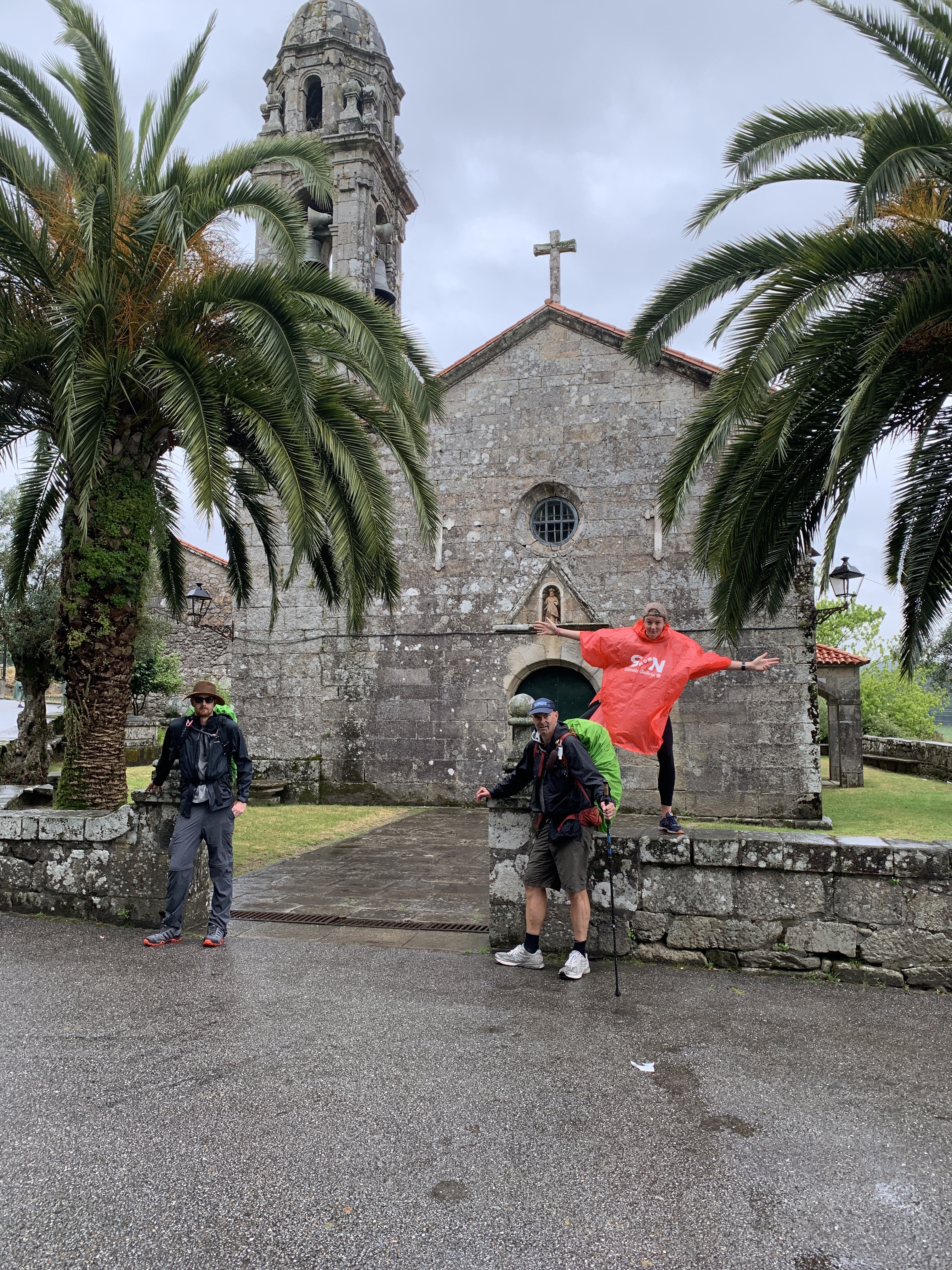
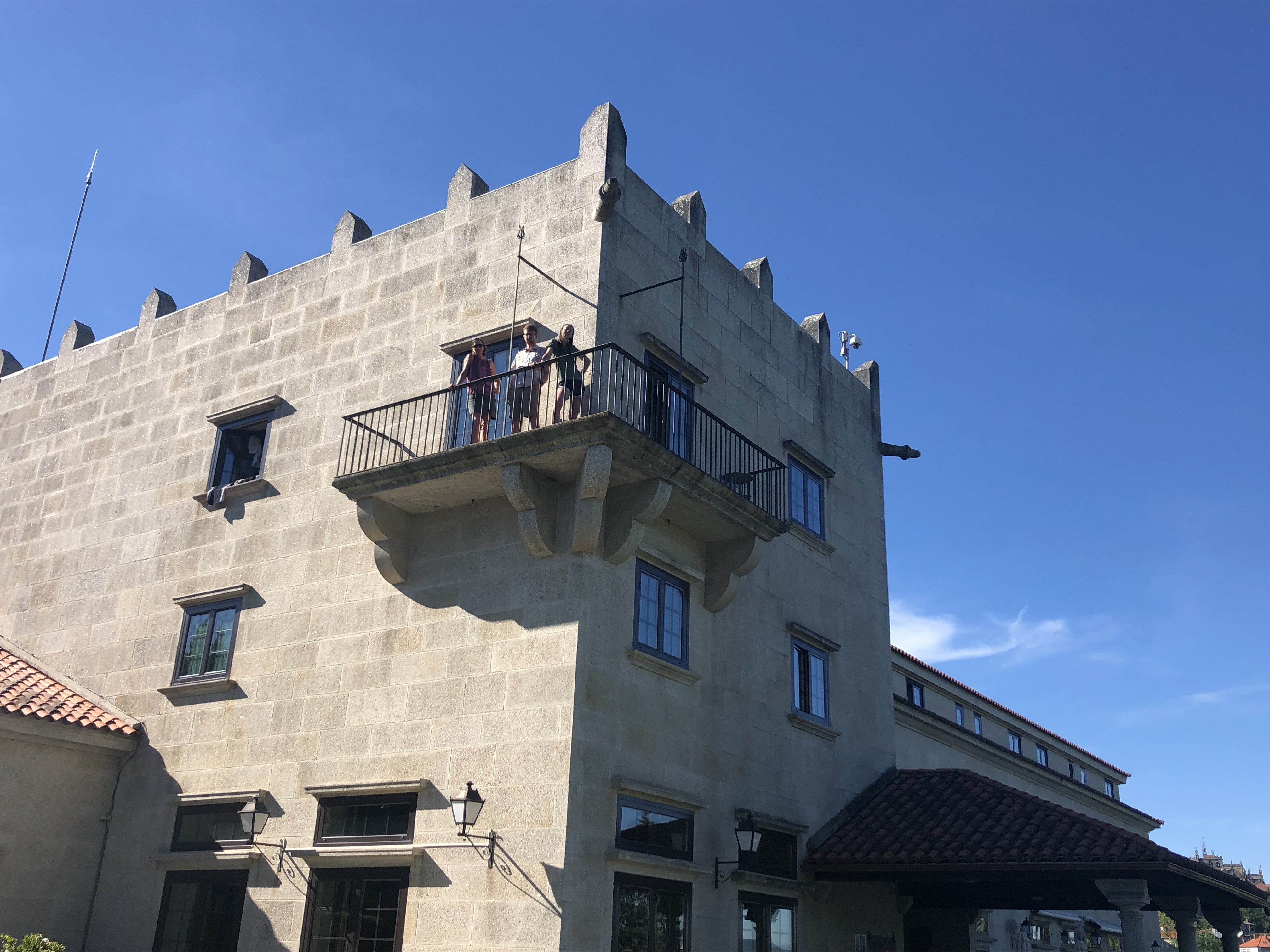
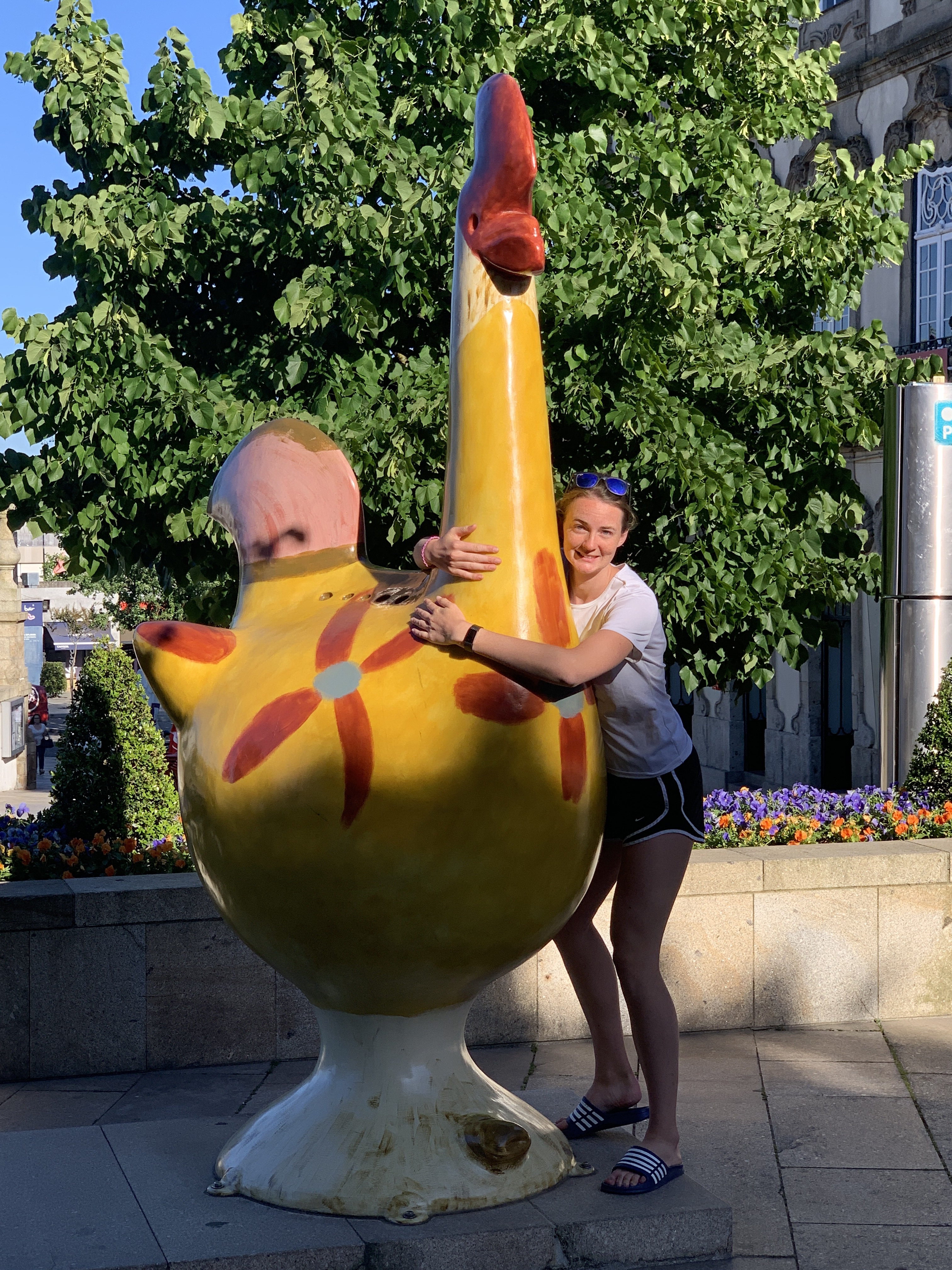
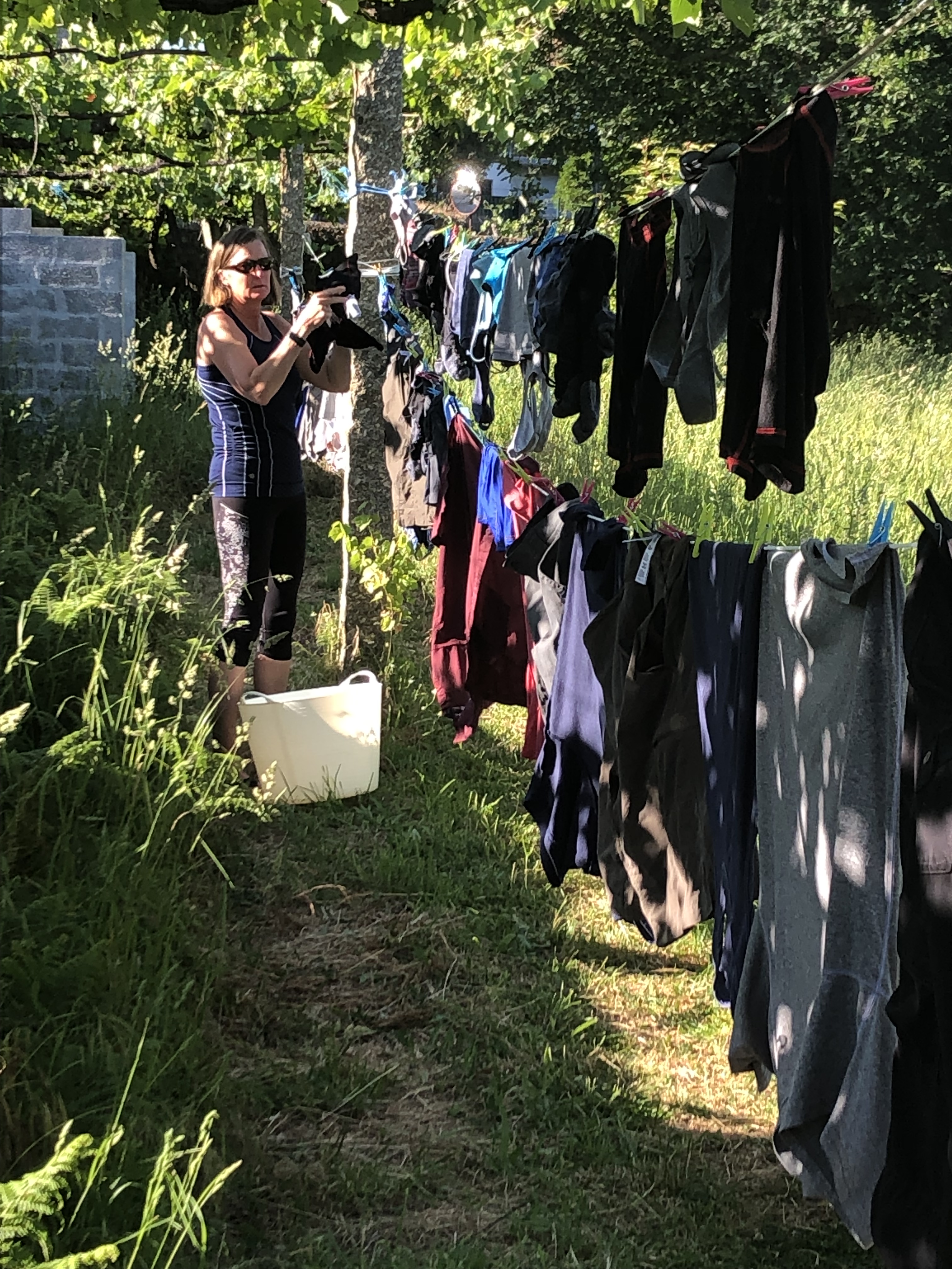 Glamorous life of the Camino
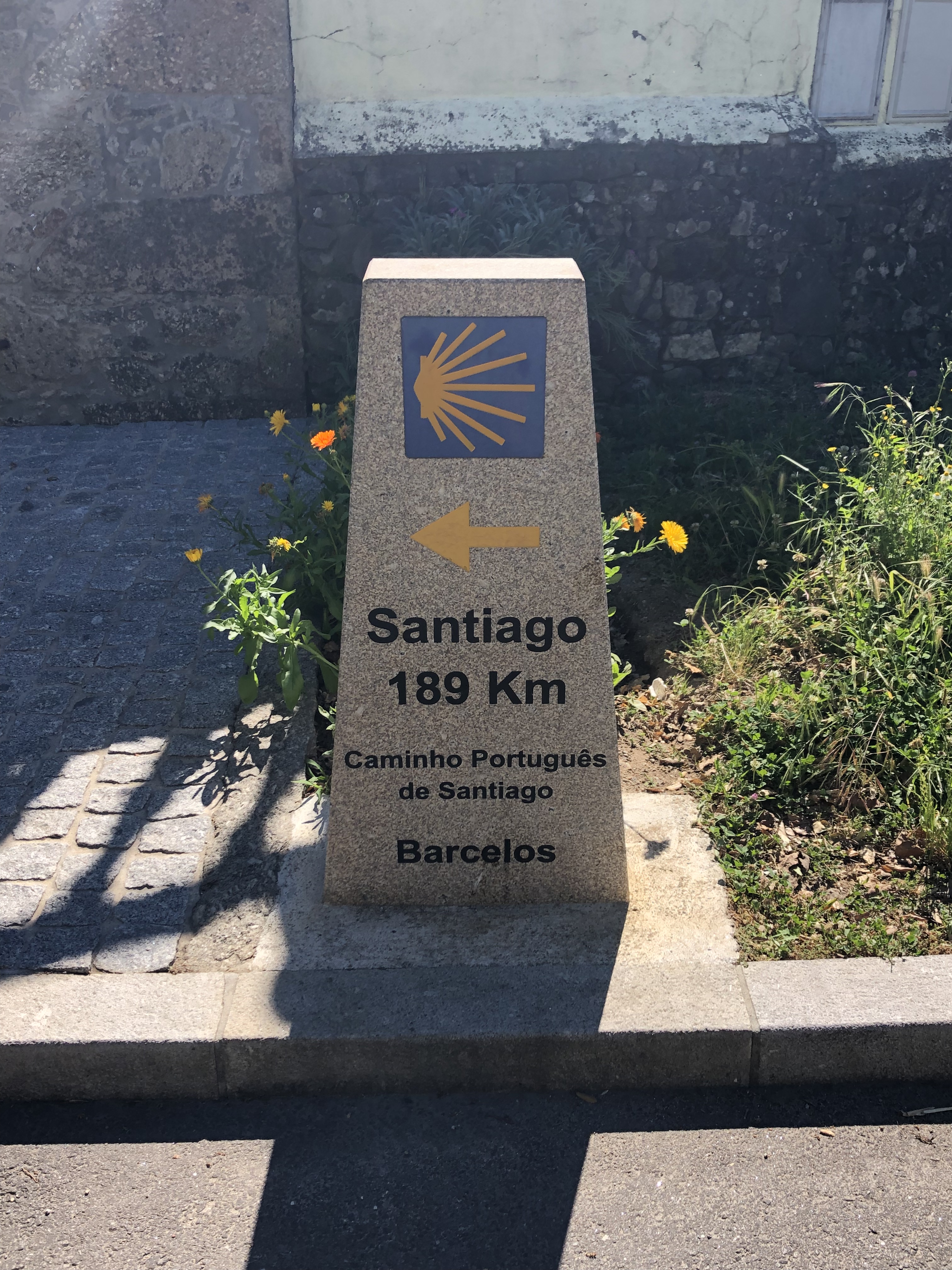
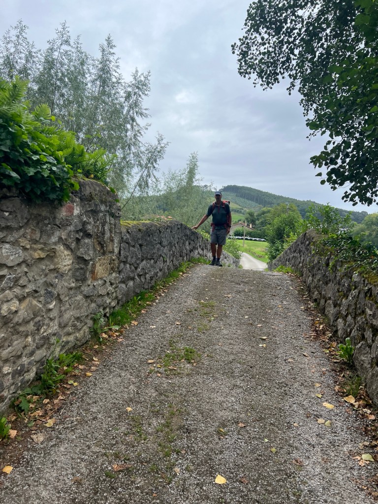
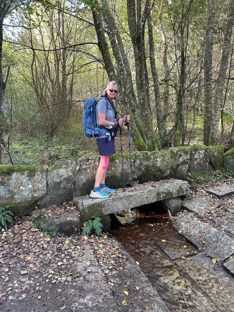
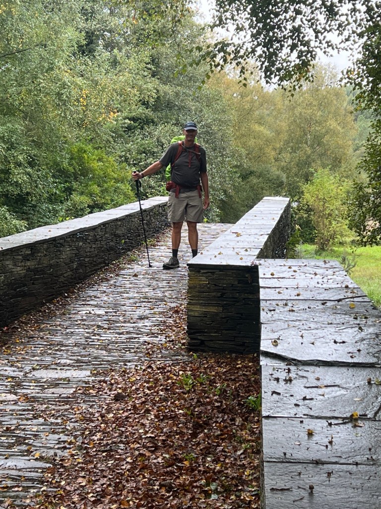
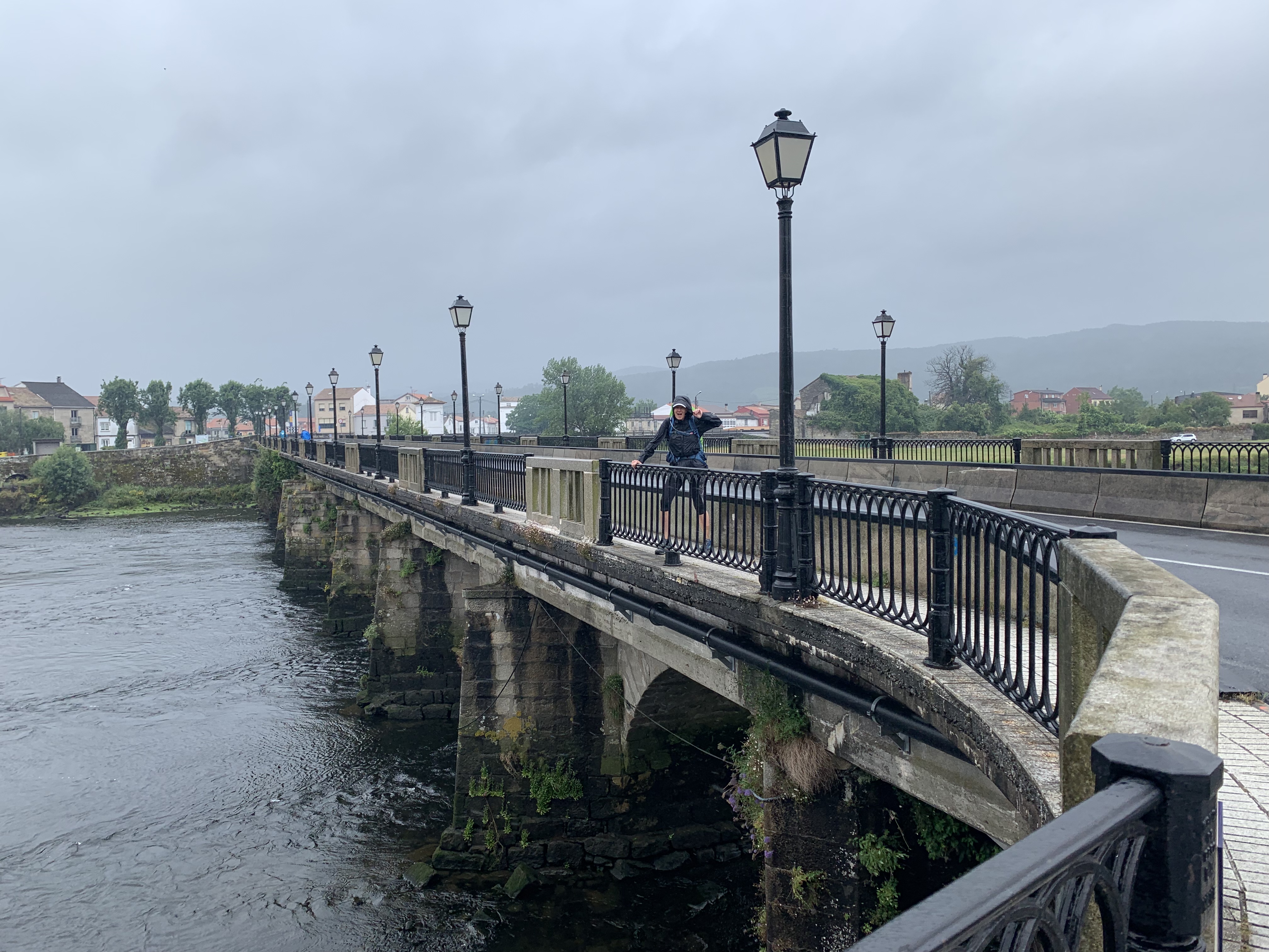
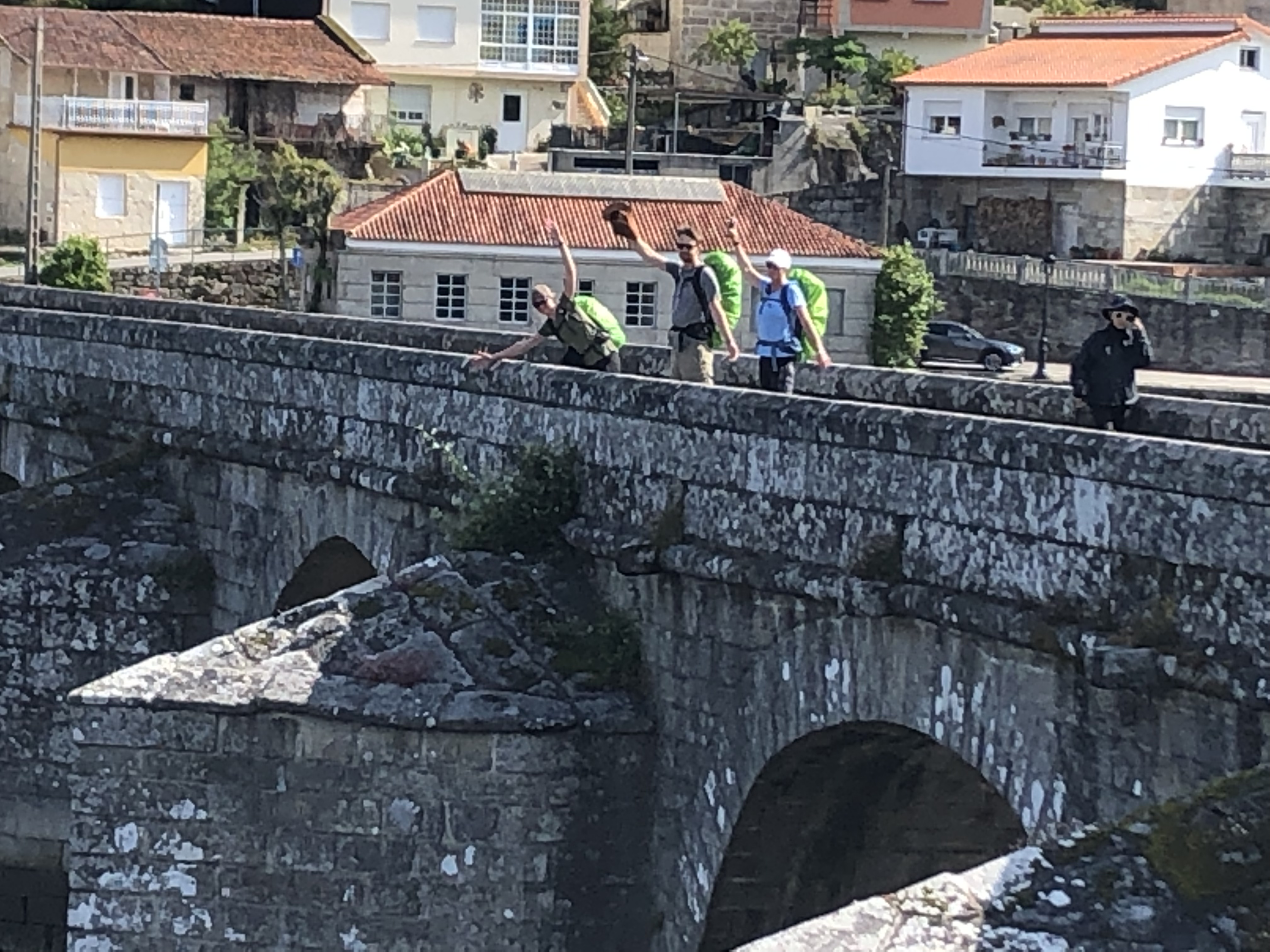
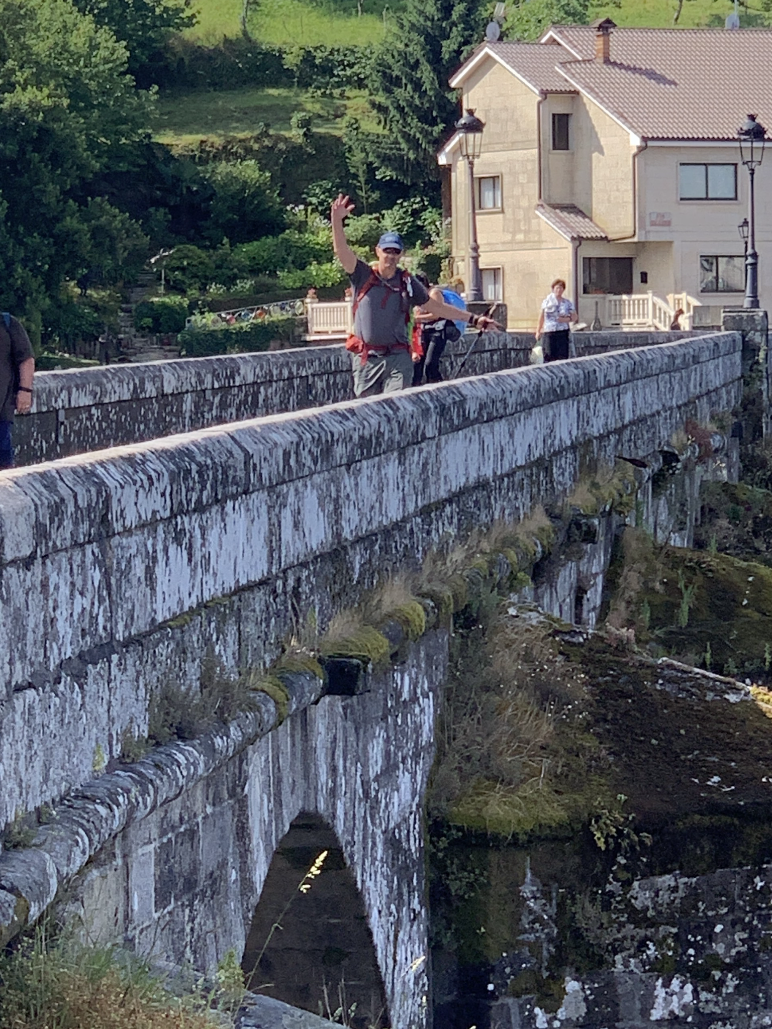
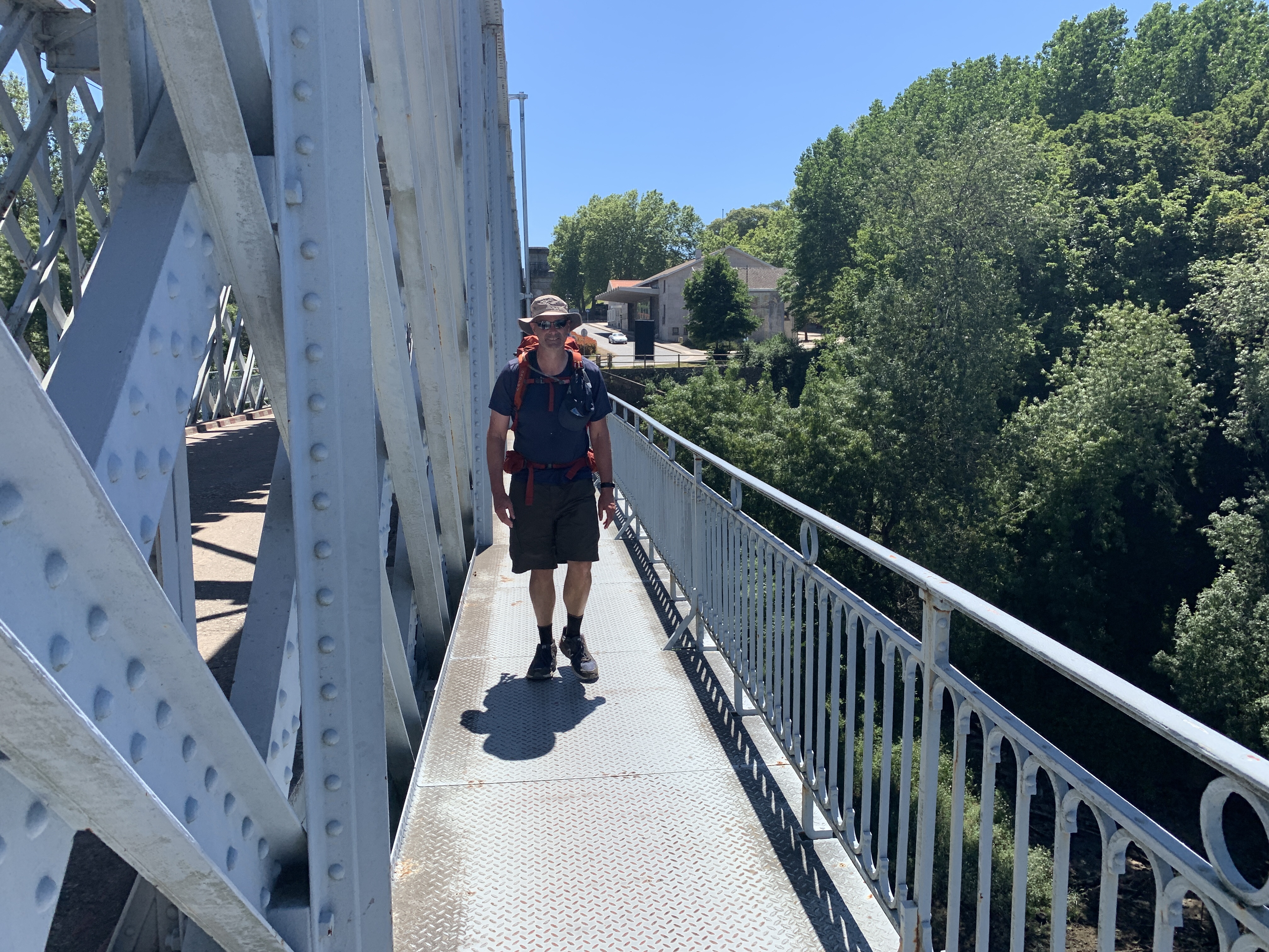
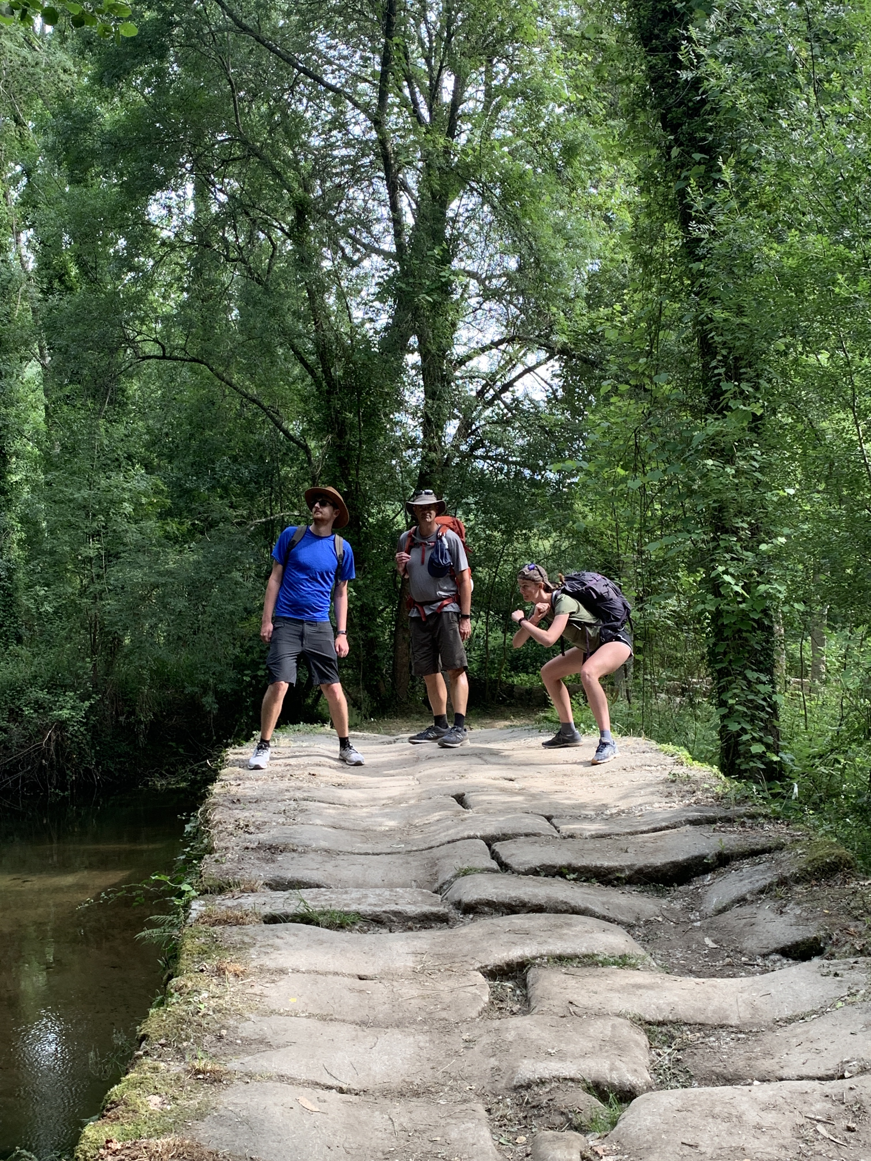
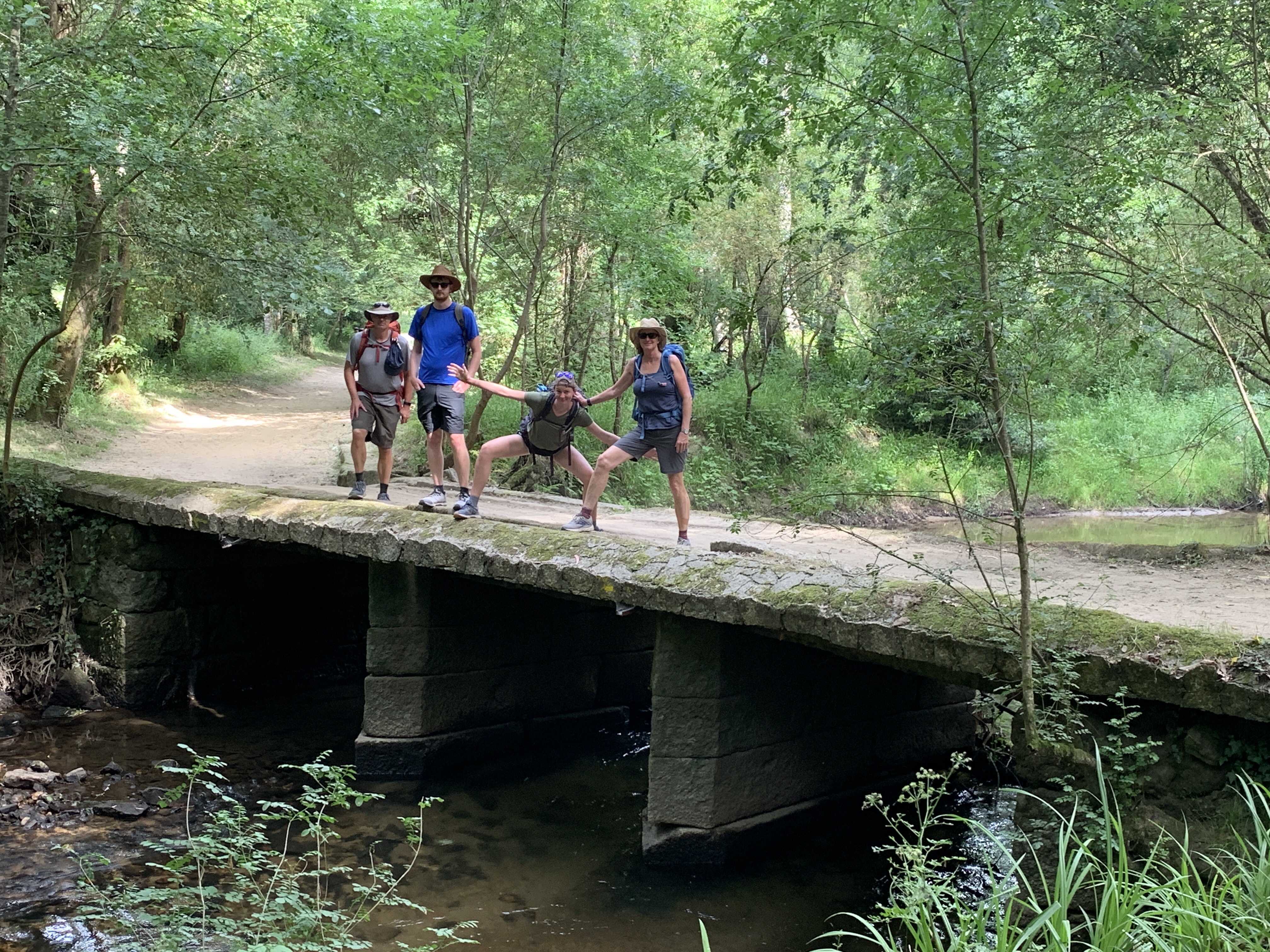
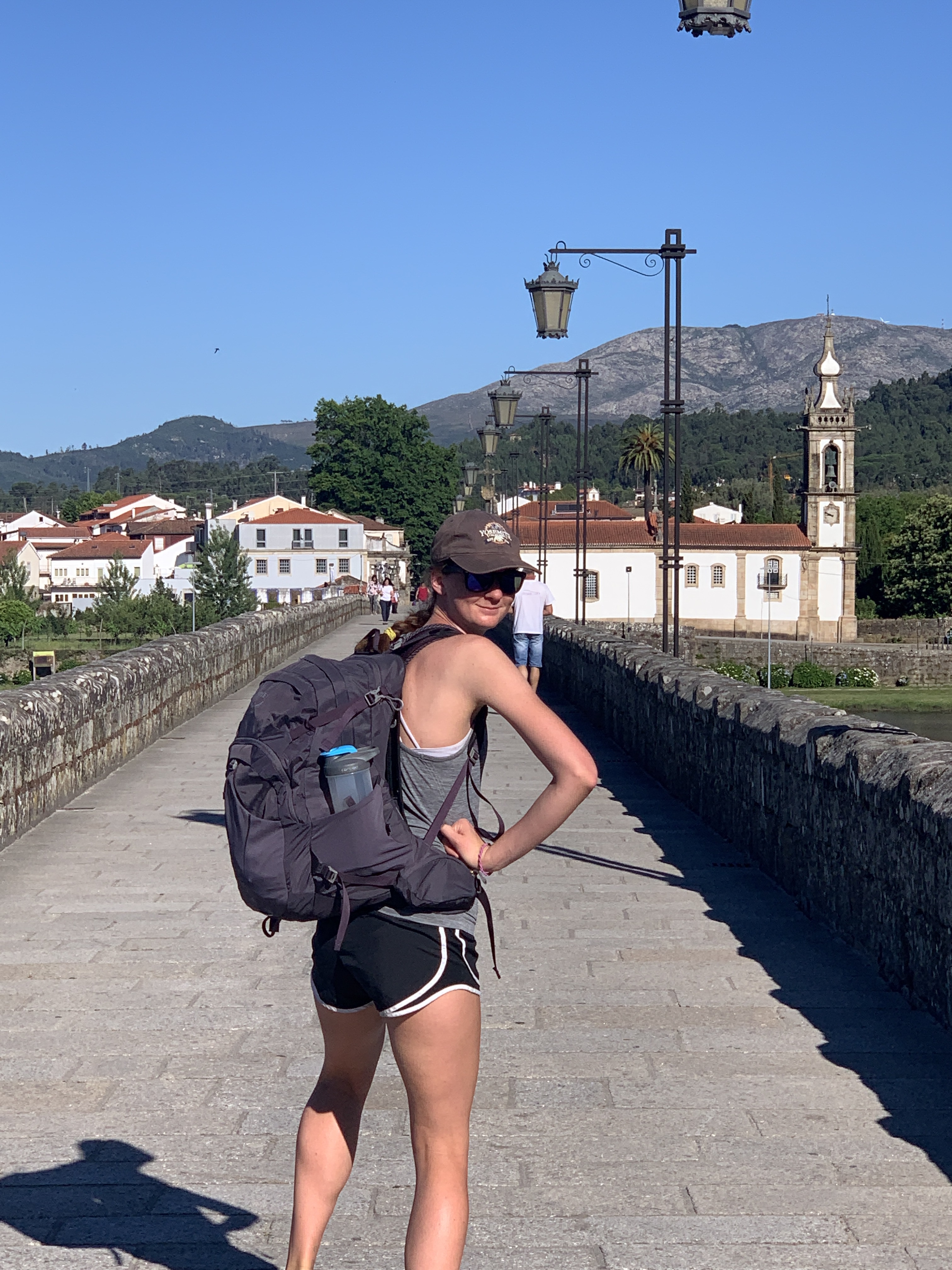
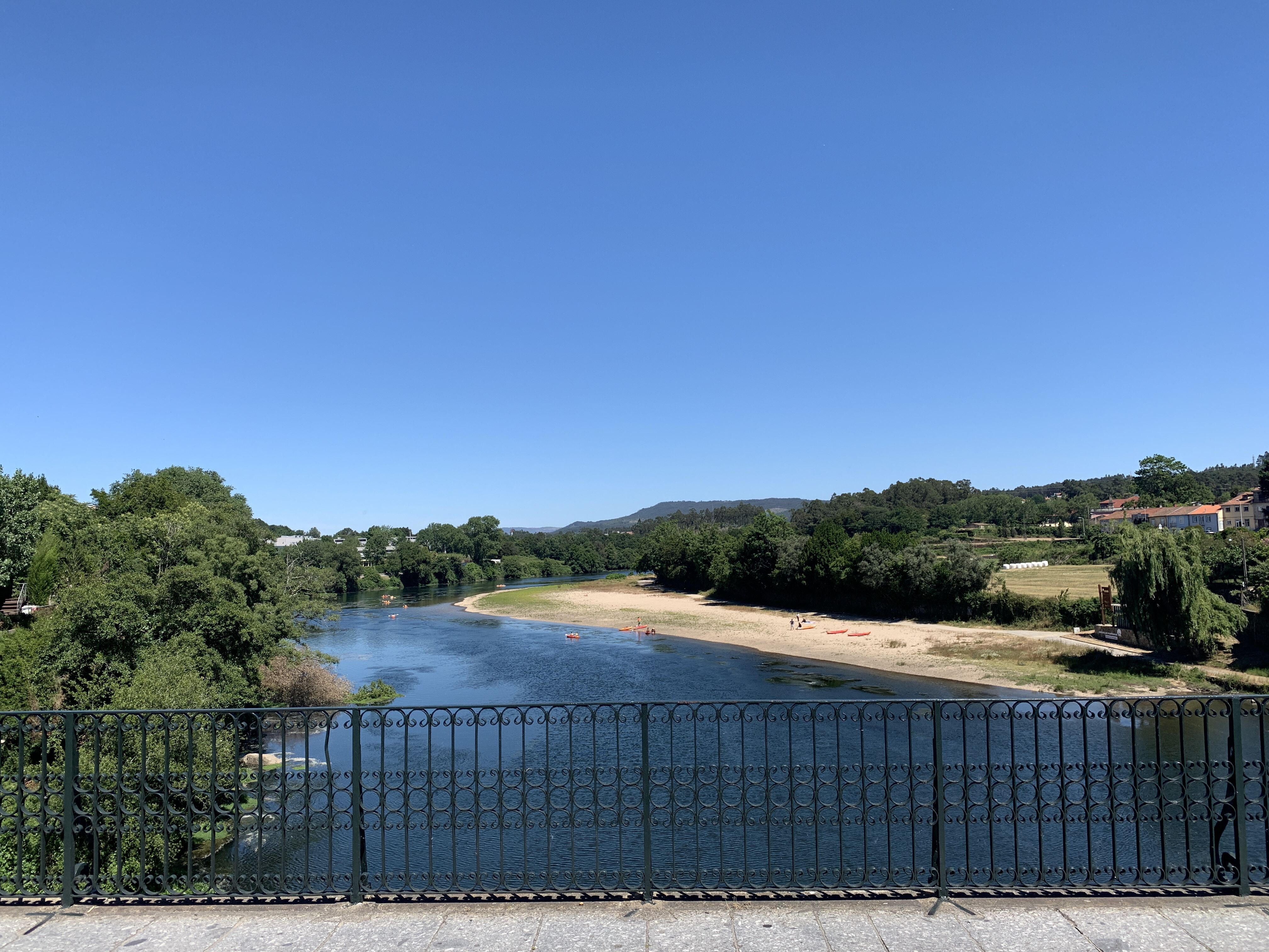
 walking over bridges


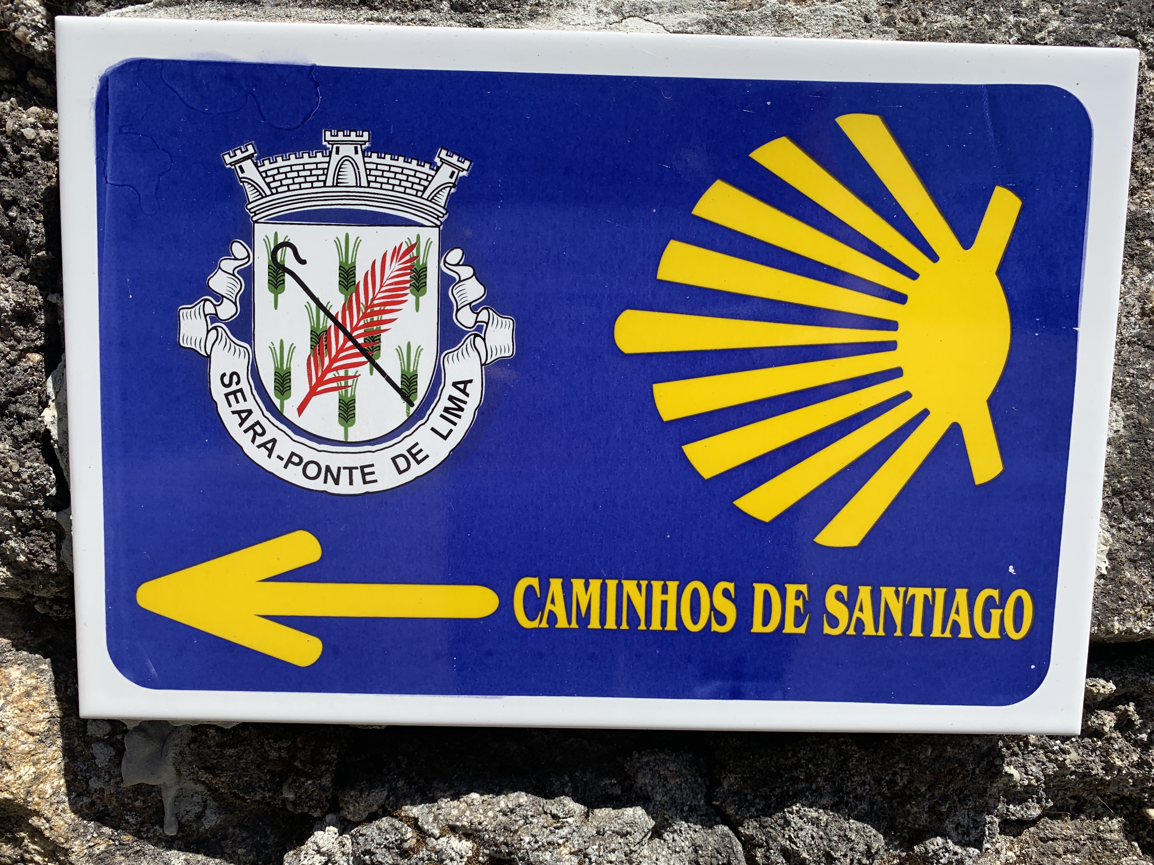
 Crossing the bridge into Barcelos
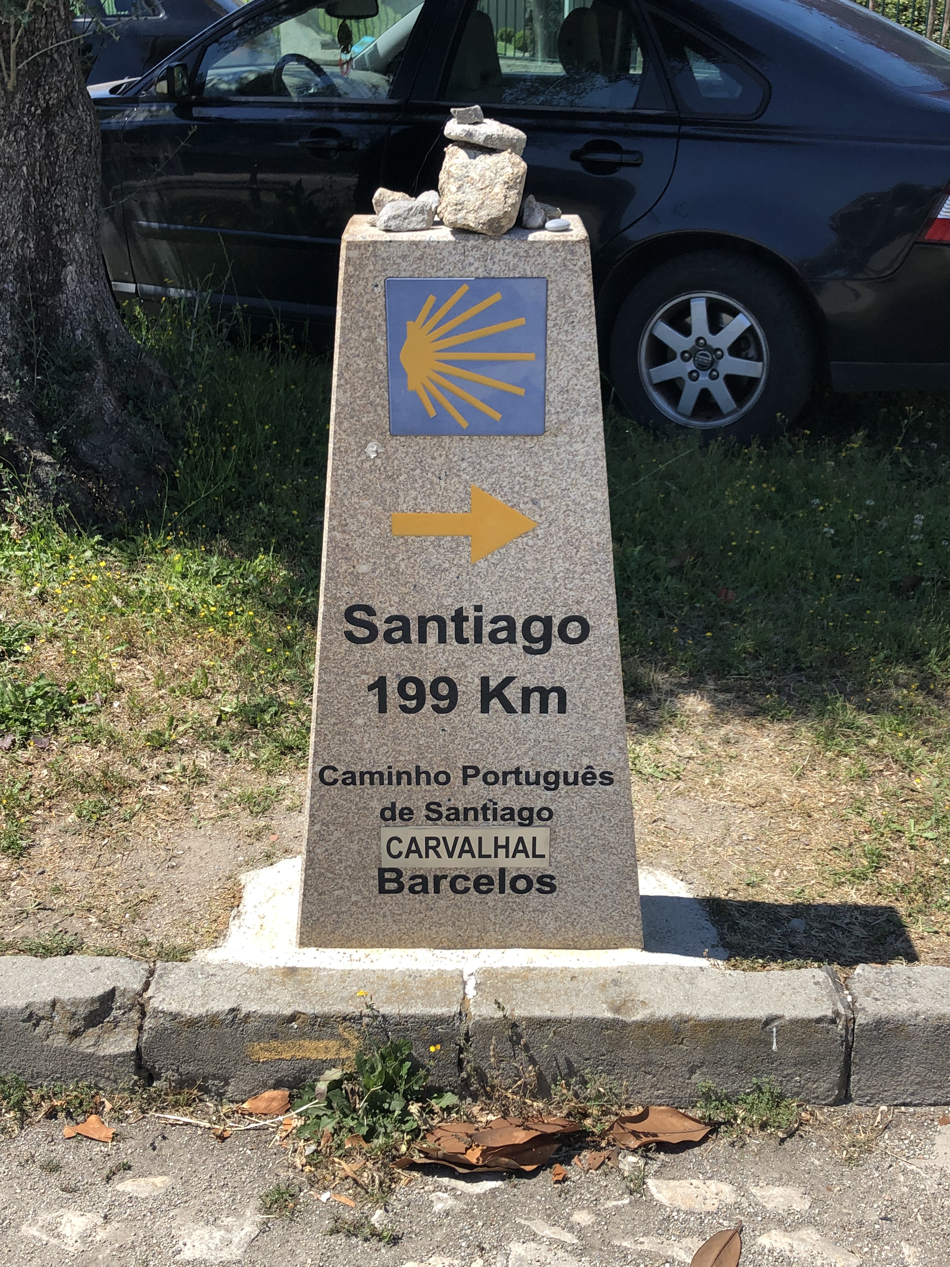
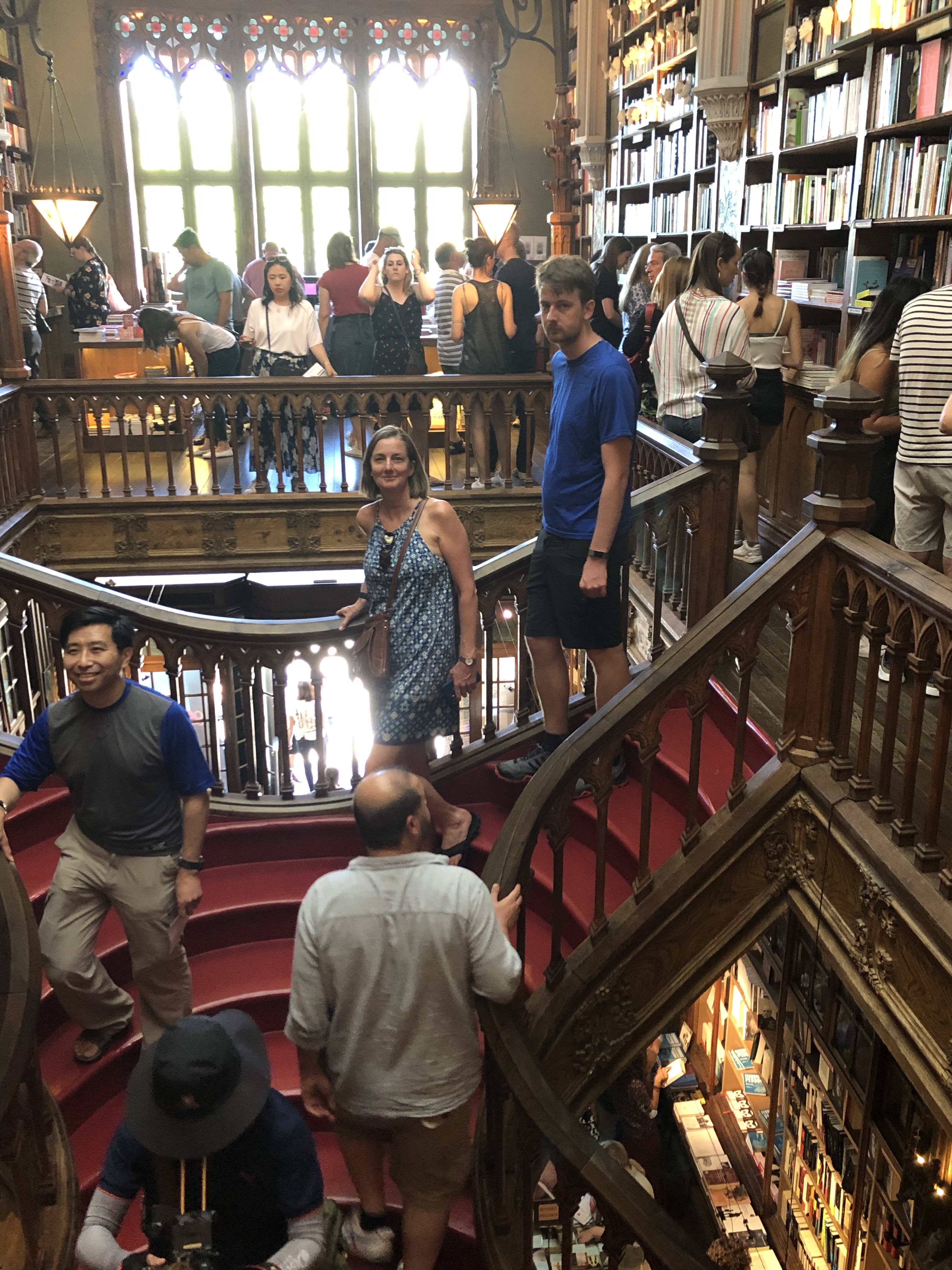 Harry Potter bookstore & stairs
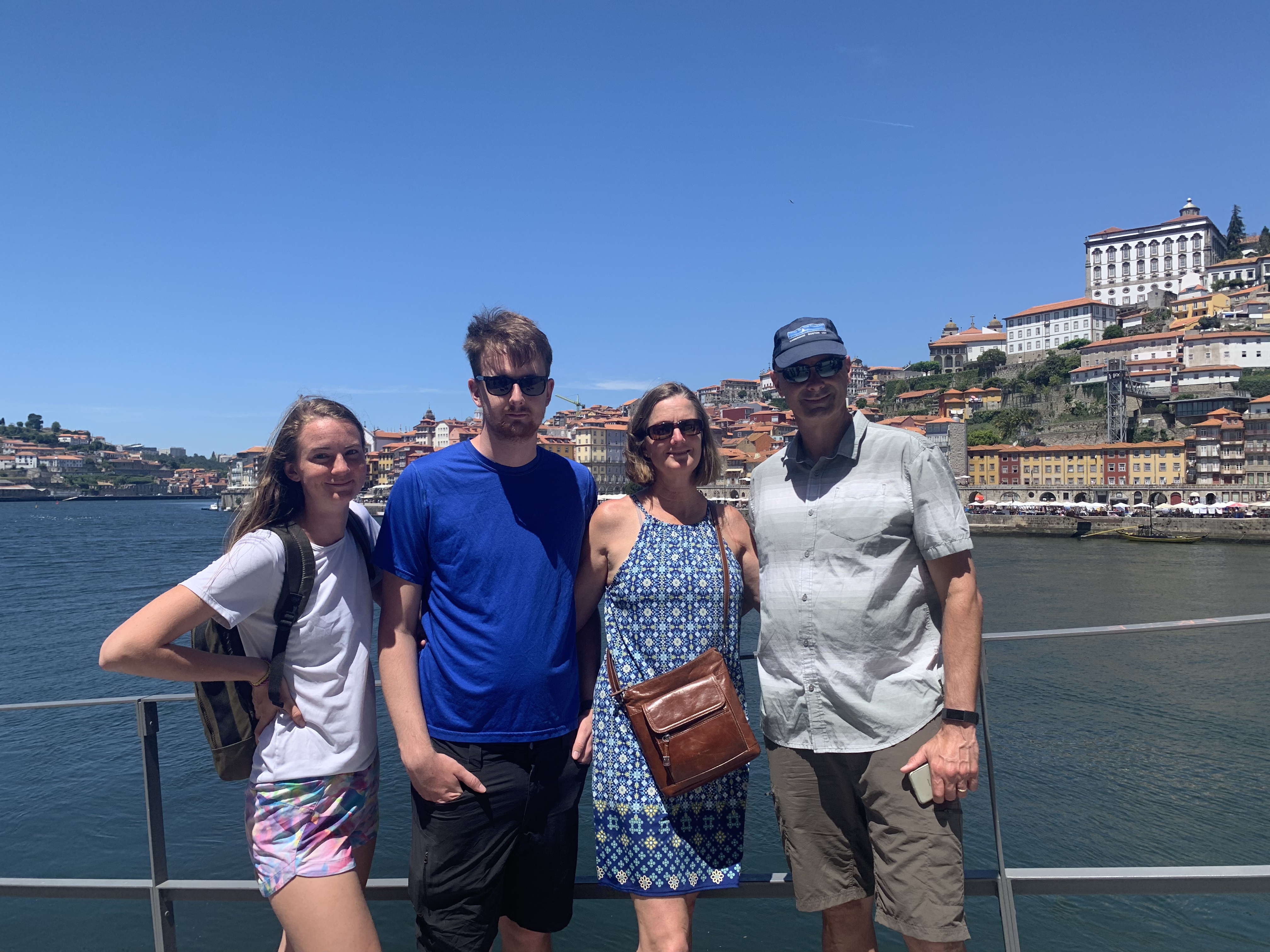 Walking around Porto
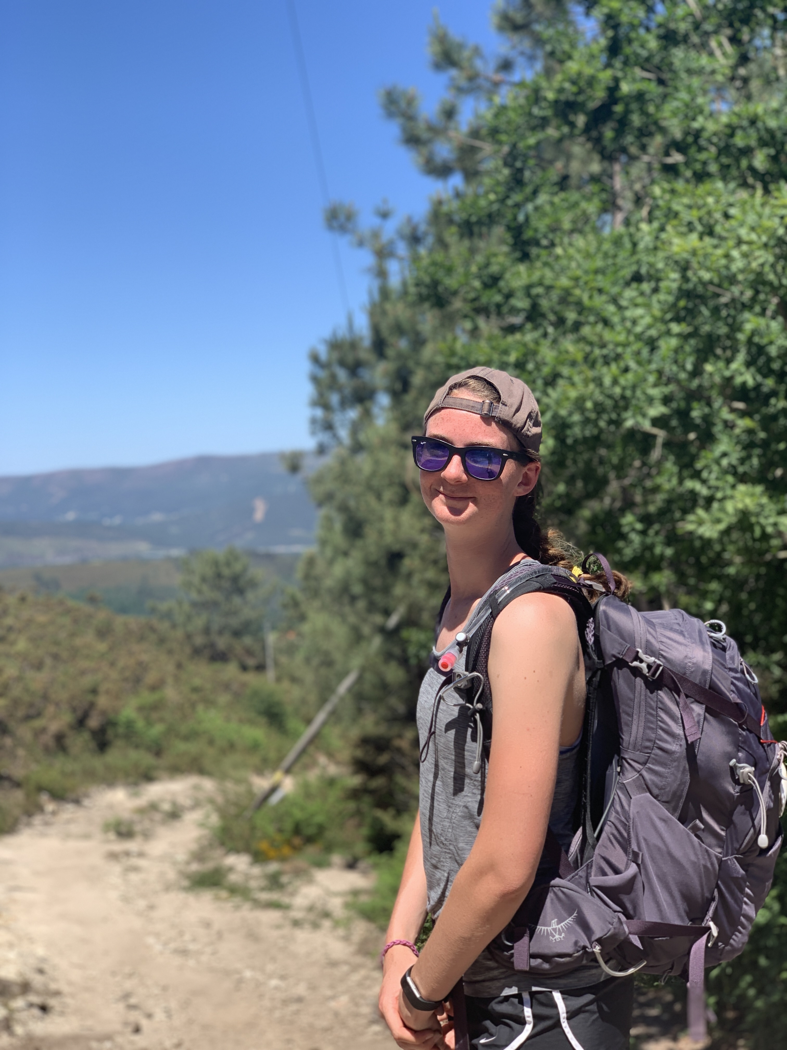
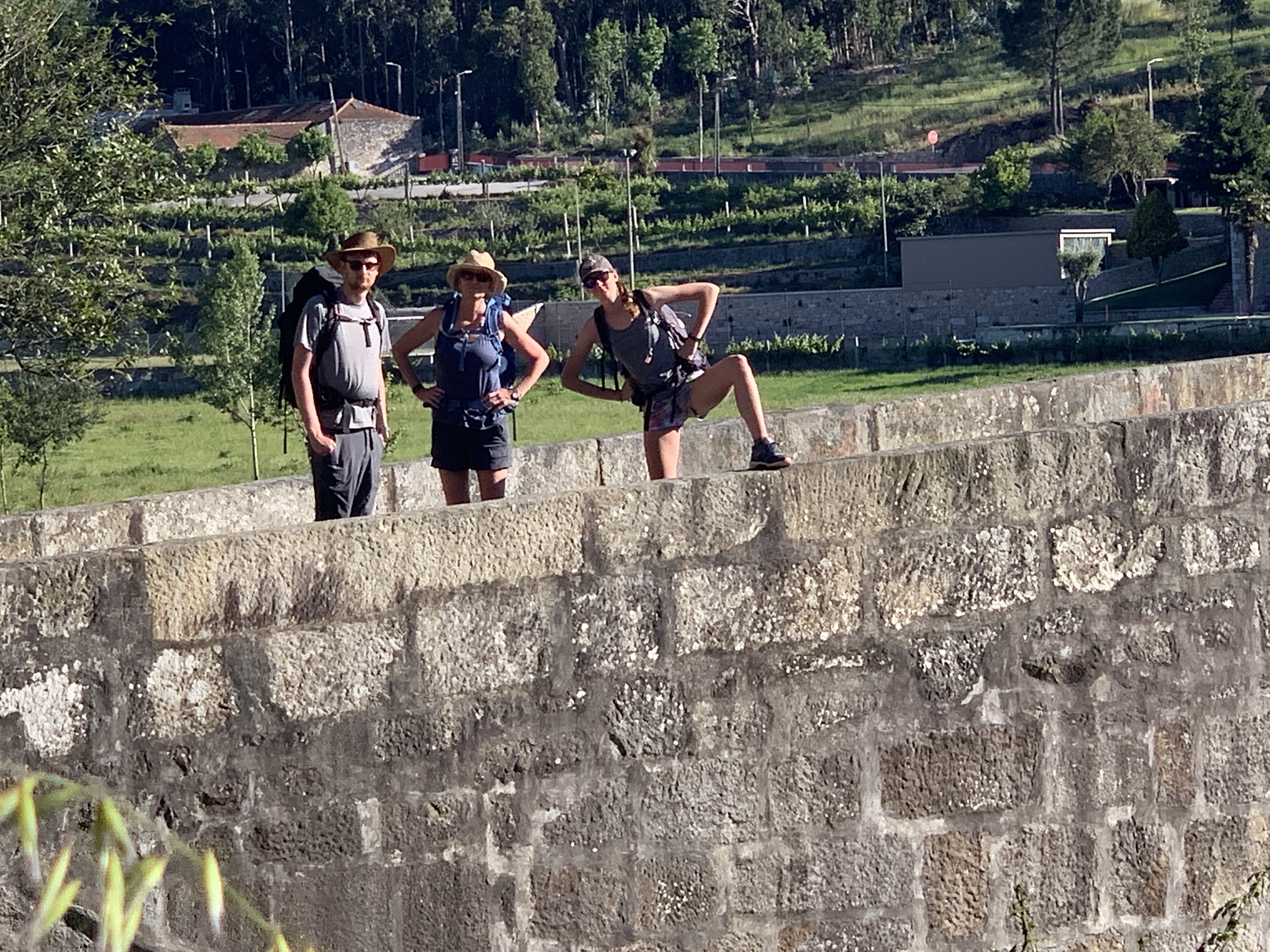
  Starting our walk
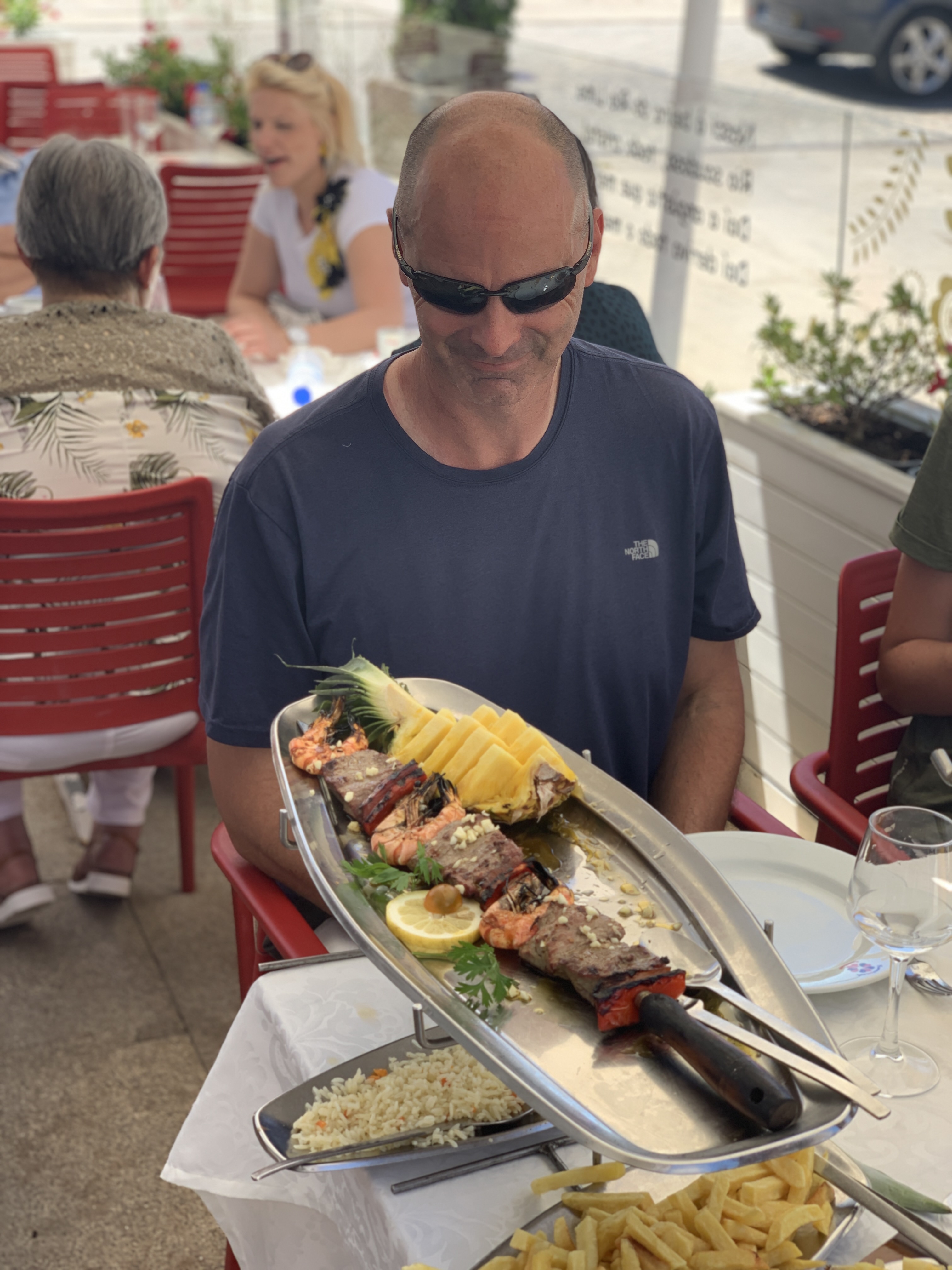
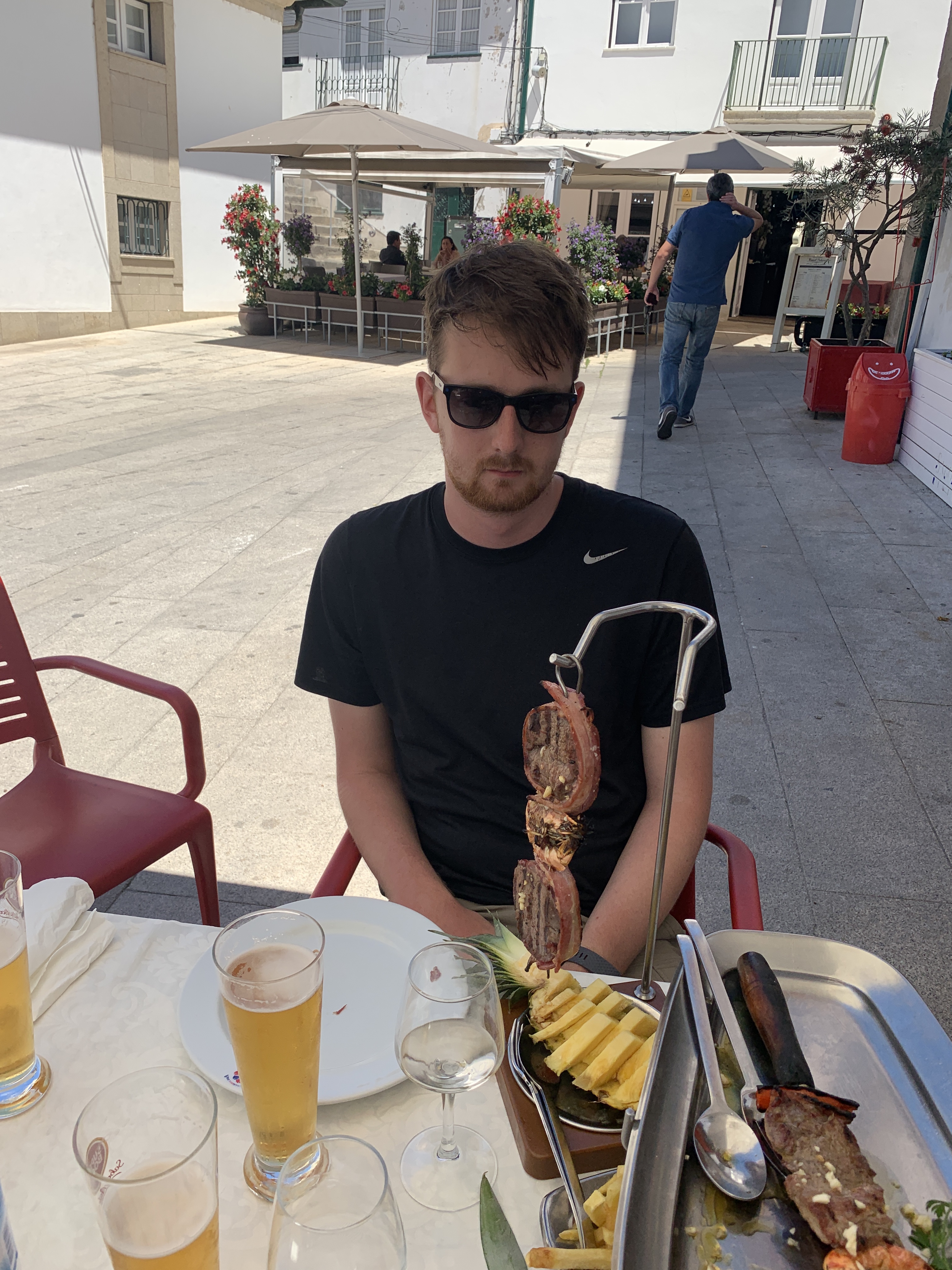
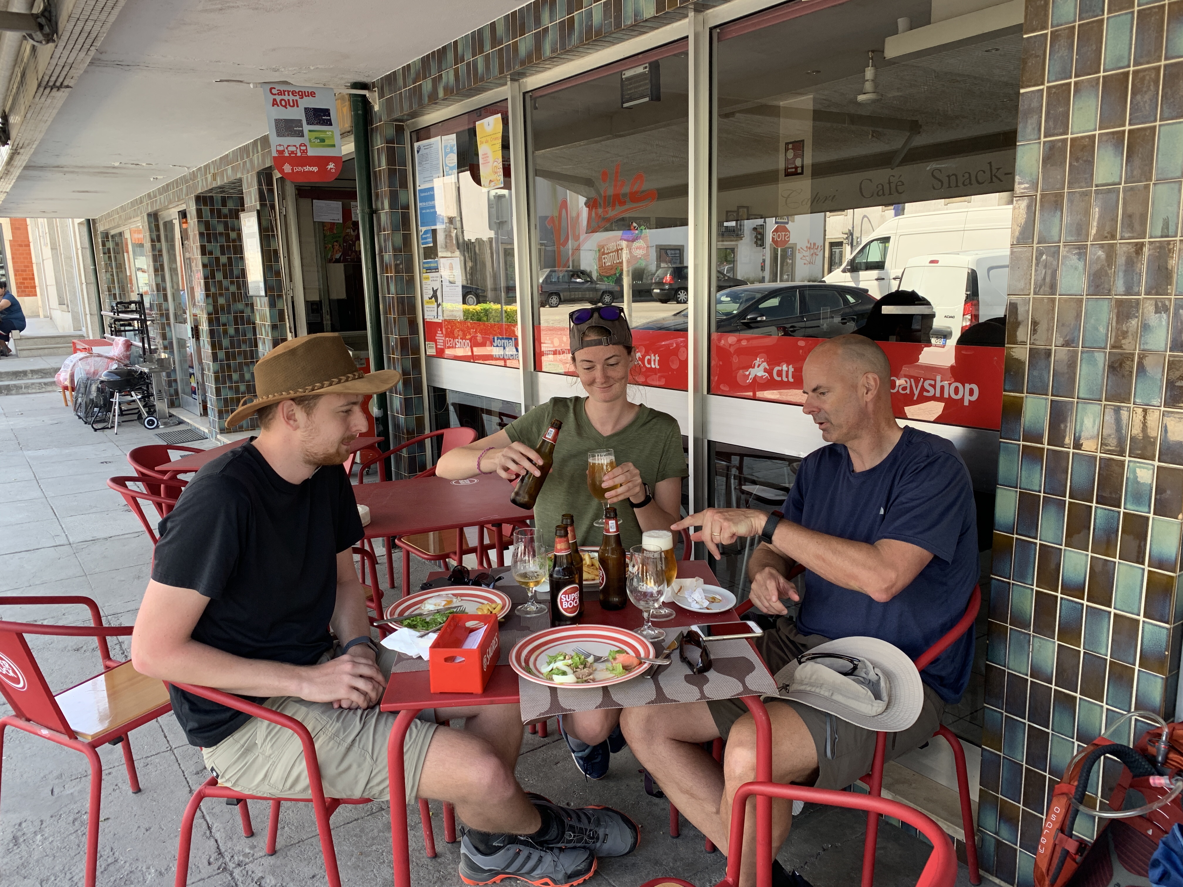 Well earned lunch & beers
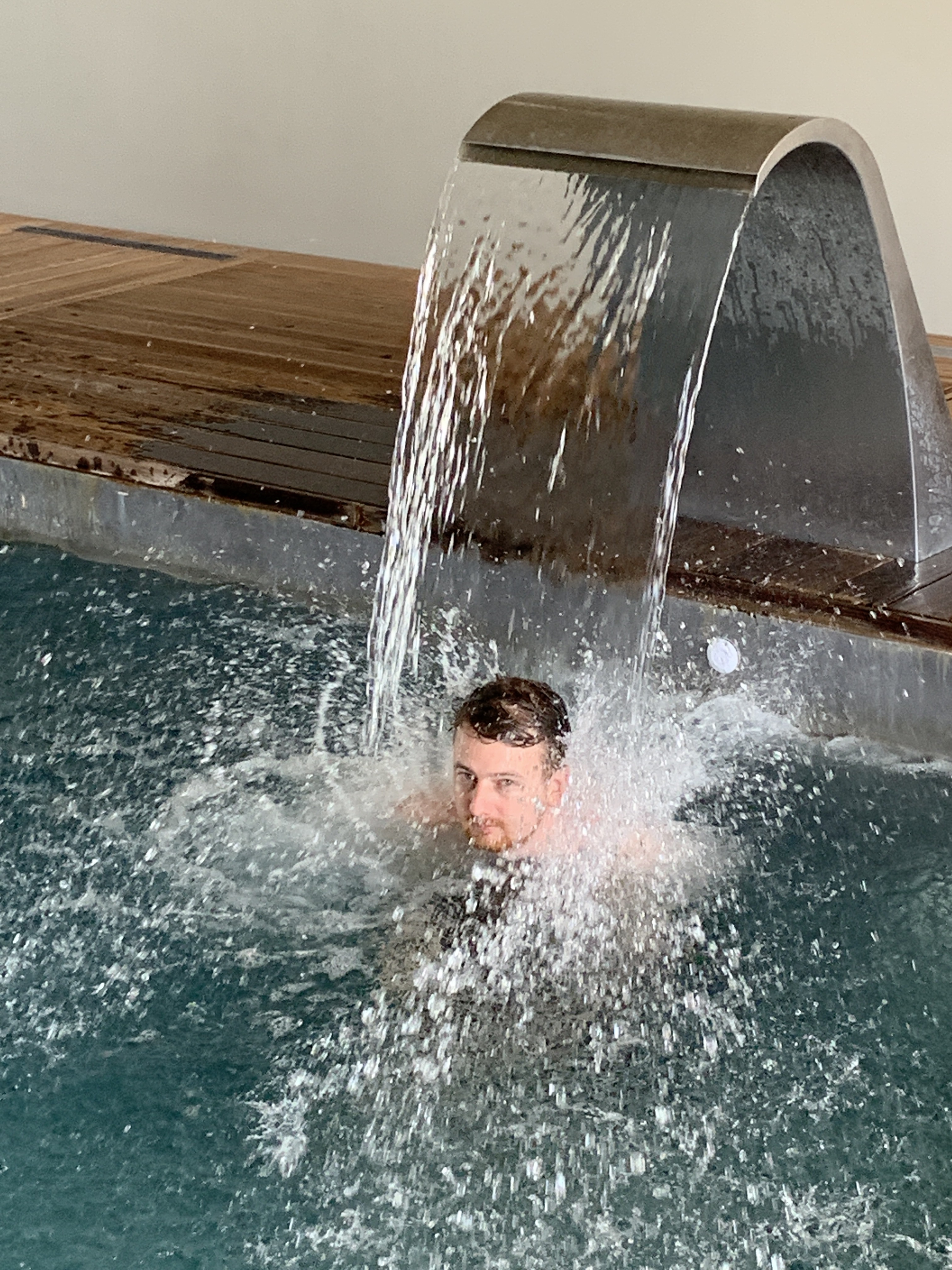 Enjoying the pool jets
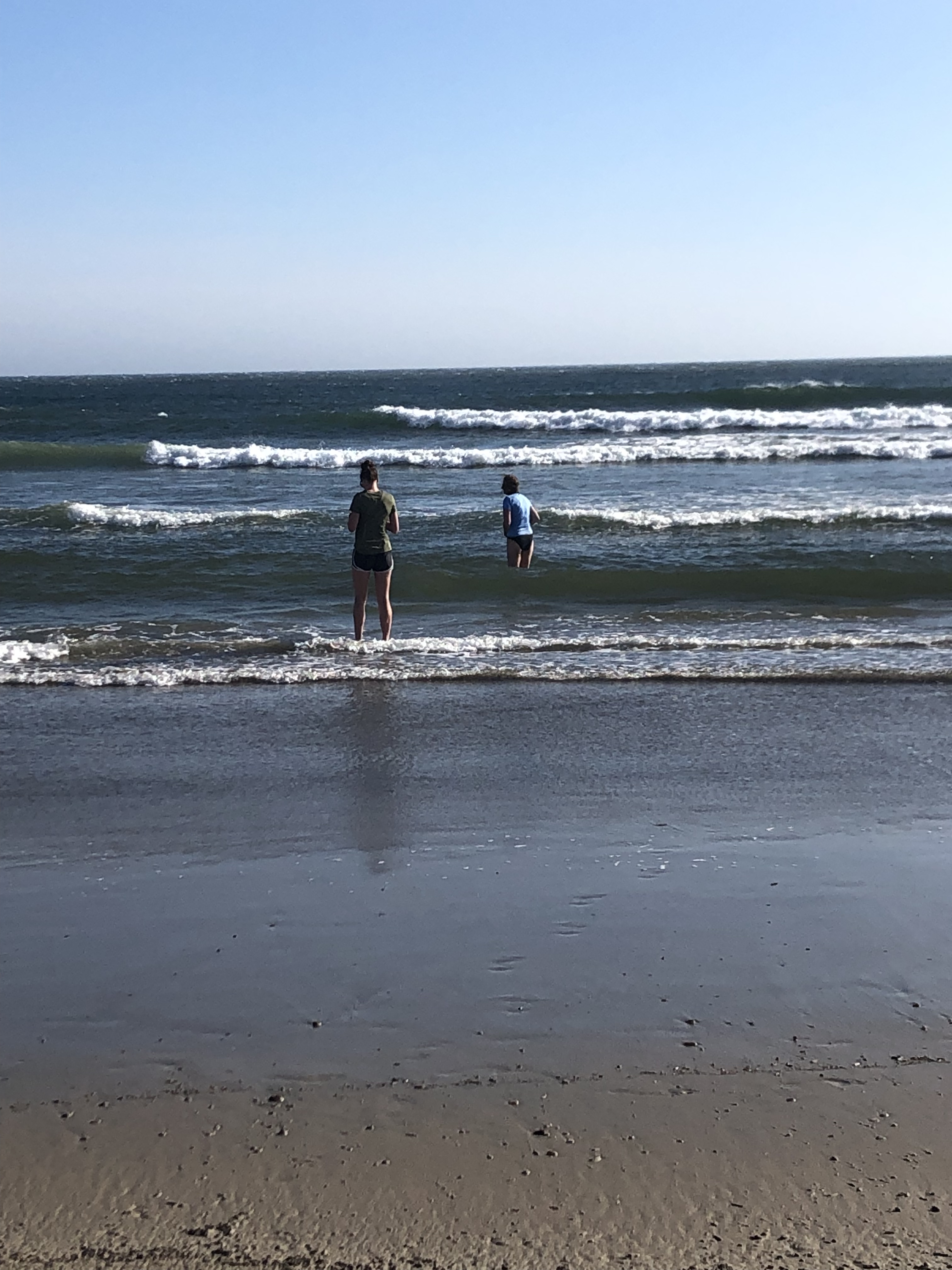 At the ocean, soaking the legs in cold water